Scant remains of the northeastern arc.
Image credit: A. Brookes (13.3.2011)
Scant remains of the northeastern arc.

The SW arc, with the tallest stone hidden by bushes on the left.

Looking eastwards across the site. Note large fallen kerb-stone in the foreground.

The tallest stone of the kerb (c. 1m high), hidden by shrubbery.

The southern arc, where the stones remain almost contiguous.

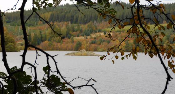
Two displaced (kerb?) stones where the NE arc would have been.

General view from the east.
Visited 13.3.2011, on the way back into Inverness after a walk out to Torbreck. This sadly ruined cairn, presumably of a Clava type, is surrounded by a recent housing development. Accessing the site requires a climb over a post and wire fence separating it from the houses.
The site is somewhat confusing, and appears to consist primarily of the remains of the southern part of a kerb of nicely selected, round-ended stones, graded up to a height of over a metre. Various other fallen stones lie around the perimeter, including a couple at the foot of a mature tree on what would be the NE side of a ring.
It is not clear what form the central cairn took, although the OS shows it as “chambered”, presumably based on other Clava-type sites in the surrounding area.
A shame that it is in such a poor state, but at least it survived the building of the estate without further damage. Not much atmosphere here though, sadly.
Canmore description of this ruined cairn, now surrounded by a housing development:
Clava-type cairn, Culduthel: ‘The cairn has been placed on a small natural rise. It is now at the edge of a patch of thin woodland. It has been so completely robbed that only a few stones of the peristalith remain in situ and a few more stones lie where they have fallen outwards form their original positions. The stones are considerable rounded boulders set on end, four of them contiguous. They vary in height from 1 foot 9 inches to 4 feet, the tallest being in the middle of the existing setting. There can be little doubt that they represent part of the south arc of a cairn kerb though they are not arranged on a true circle. On the OS 6"map of 1871 the site is marked as an almost complete circle lacking only part of the west side’.
A S Henshall 1963, visited 11 April 1957; J Fraser 1884, A Low 1929.
The remains of this cairn are described above.
Visited by OS (J L D) 22 March 1962.
NH 660 417 An evaluation was undertaken in May 2004 prior to housing development. A ring-cairn (NH64SE 26) assumed to be of the Clava type lies immediately NE of the site.
Thirteen trenches (2000m2) were stripped, equivalent to 5% of the development area. Only one archaeological feature was uncovered, at the southern end of the site. This was a pit, circular in plan and filled with a charcoal-rich deposit. It was apparently isolated and no datable finds were recovered from the fill.
Reports lodged with Highland SMR and the NMRS.
Sponsor: Tulloch Homes Ltd.