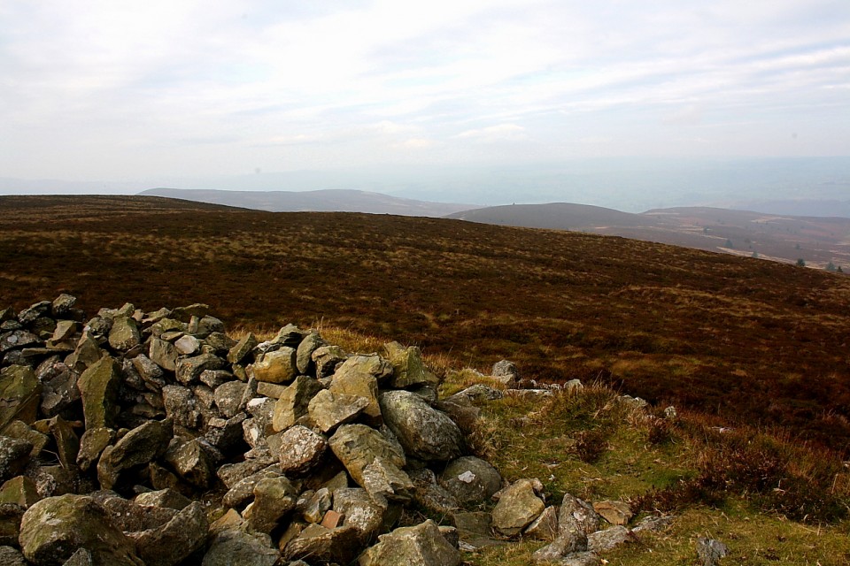
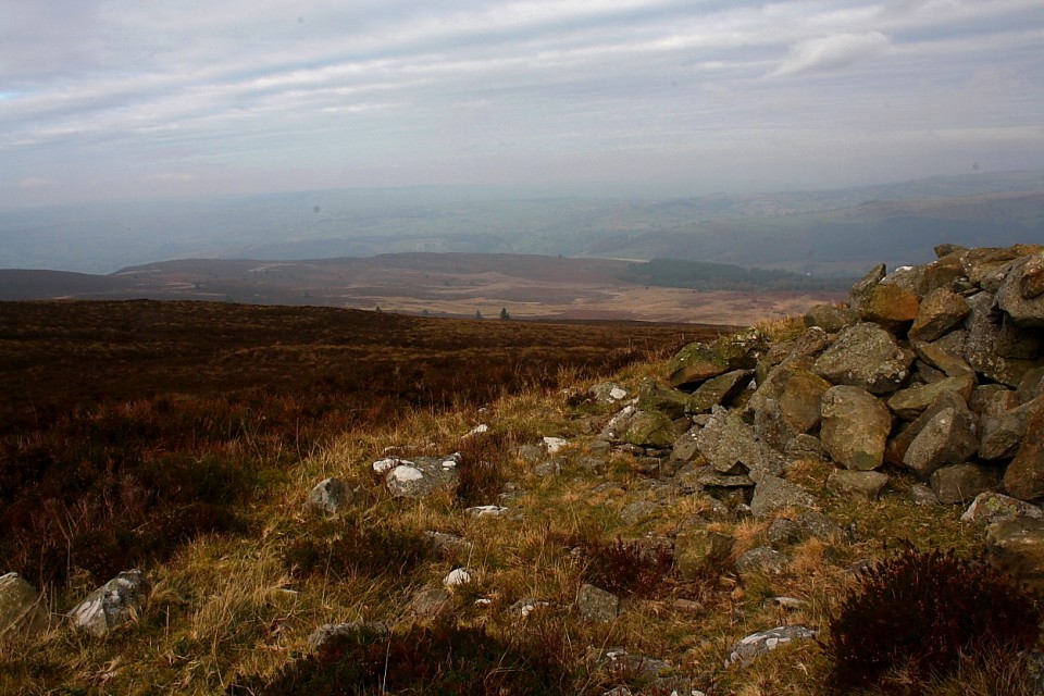
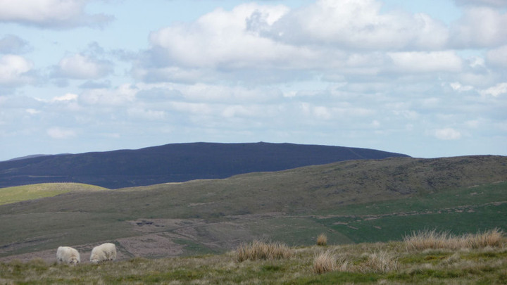
On the map, the route looks straightforward, with little in the way of ascent or descent over the three miles or so between Pen Bwlch Llandrillo (north top) and Moel Fferna. The Nuttalls helpfully inform us “a path has developed beside the fence which runs the whole way, making walking and route-finding quite straightforward”. Sounds fine, even on such a fog-bound day as today. What neither map nor guidebook tell us is just how miserable a slog the next three miles will turn out to be. For a start, on heading northeast we have found ourselves more exposed to a wind now blowing in keenly from our front-right. The wind carries with it a stinging rain, quickly lowering our temperature and splattering my glasses to render the already limited visibility almost non-existent. Secondly, the “path” that “has developed” is barely anything more than a boggy rut cutting through heather and mud. The surface is anything but level, every few steps requiring a detour around a crumbling peat hag or muddy pool. The heather drags at our shins, making each lift of the leg a trial.
With no visibility, it becomes near-impossible to gauge how far we’ve come and how far we still have to go. Instead, we concentrate all our efforts into placing our feet and forcing ourselves on into the soaking, freezing wind. Although there is little real up-and-down, each minor rise becomes an impediment of cliff-like proportions. By the time we reach Cerrig Coediog, we’ve pretty much had enough, but we’re so close that it would be a waste of our efforts so far to turn back. We plod on down to the bwlch, from where one last climb to the summit awaits us.
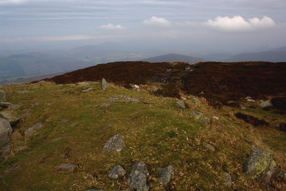
At first a broad, muddy path heads away north, but soon reaches an area of waterlogged, impassable bog. The only option is to divert around to the west, but this involves leaving the path to force a way through the tough heather that characterises these Berwyns slopes. Progress is very, very difficult. G/F’s leg is playing up at the constant lifting needed to negotiate the vegetation. Despite waterproof boots, her feet are now quite wet (mine aren’t much better) and there is little in the way of enjoyment to be had from any of this. Eventually we hit a narrow path running laterally across our route, we still can’t see the summit so it’s difficult to know how far we have left to go. We take this and soon meet up with the main path again, still making its way north and upwards.
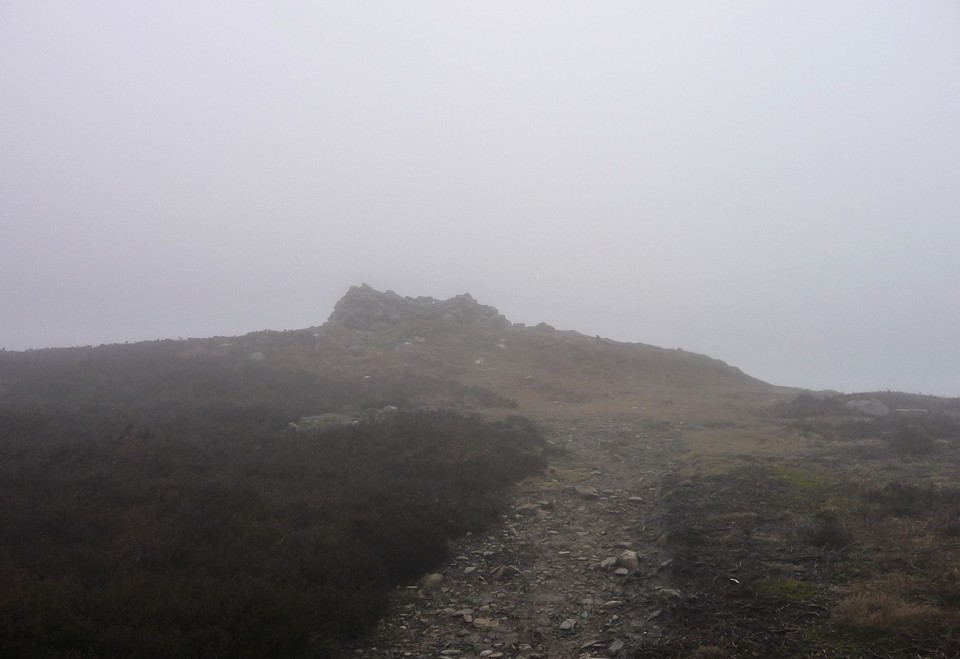
The final straw looms out of the mist in the shape of a stile. You know those stiles that you sometimes find on uphill routes where even getting your leg onto the lowest board is a struggle? One of those. I have been with my G/F for a long time, but never have I seen such an expression of “I’m going to kill you” as I do when she sees this stile. Any comment I could make along the lines of “nearly there” is unlikely to help now. But we climb the stile and plod on, across yet more featureless bog.
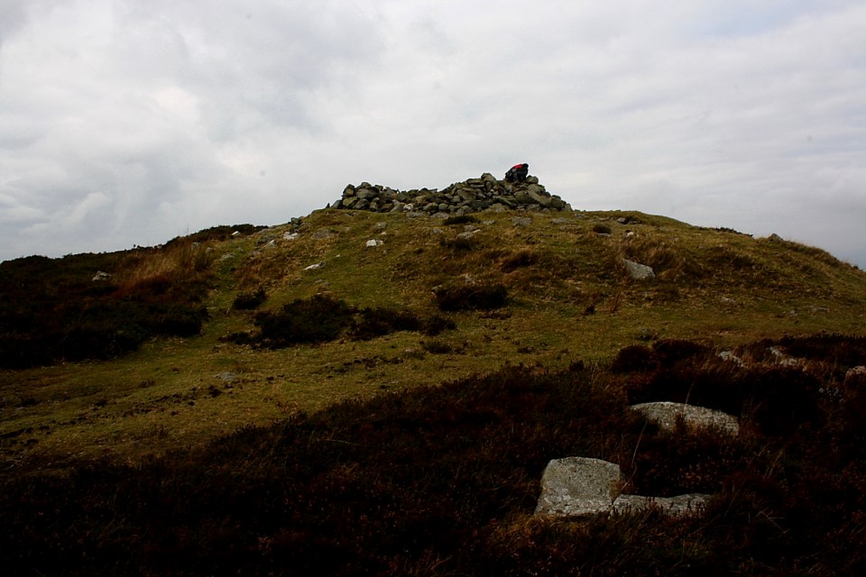
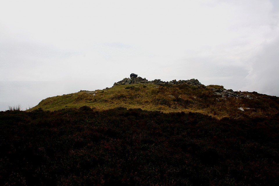
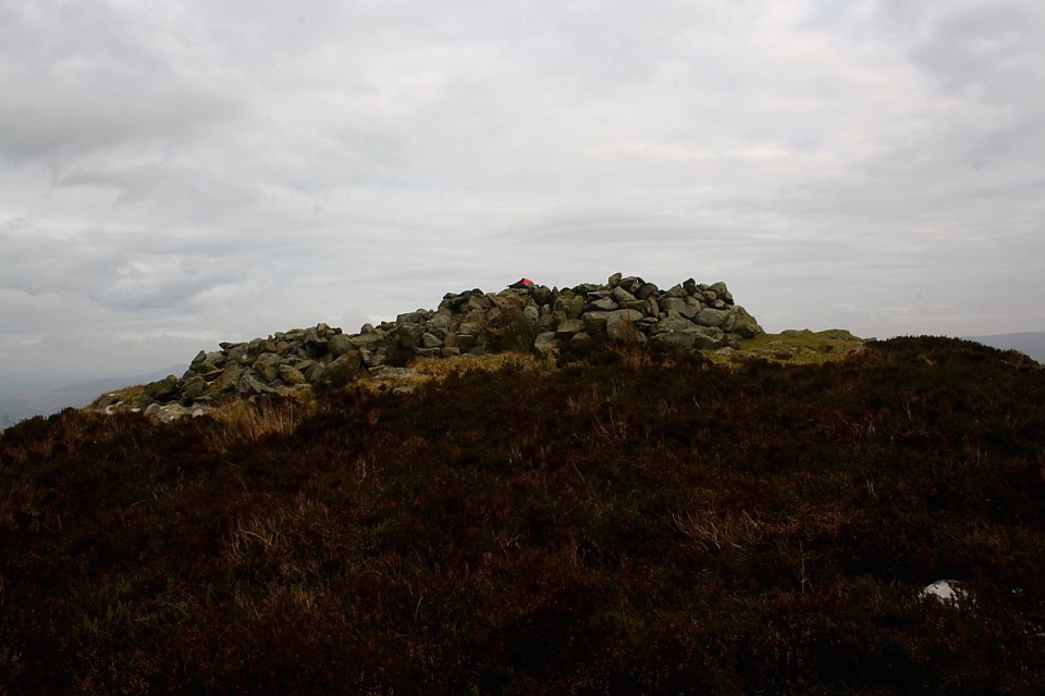
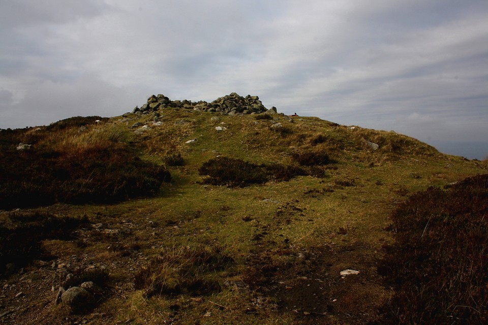
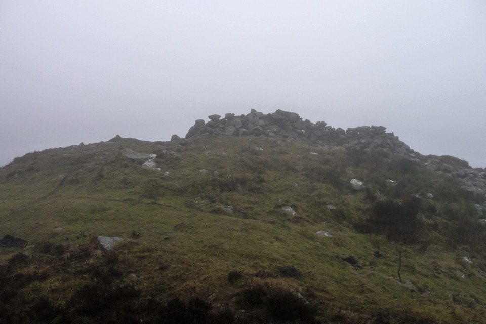
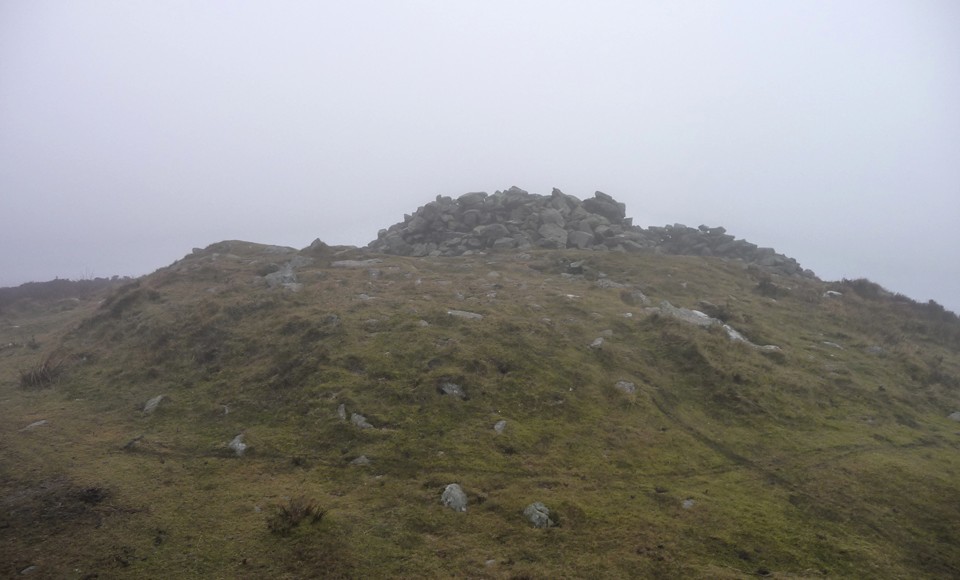
At last, a shape looms out of the mist ahead of us. The unmistakable shape of a sizeable summit cairn. We’ve made it! It’s taken us 1 hour and 50 minutes since leaving Pen Bwlch Llandrillo (north top) but it feels like several weeks have passed. Much as I dislike the idea of a Bronze Age summit cairn being turned into a shelter, we have little choice but to embrace its waiting charms. The only solution now is hot tea, and quickly.
Perhaps it’s because we’re British, but the restorative power of hot tea, even the metallic variety from a cheap flask, should not be underestimated. Out of the wind and rain, we start to feel like we may survive the walk back to the bus. Suitably envigorated, I also take some time to have a look at the cairn that we’ve come so far to see. It’s a big bugger, despite its mistreatment over the years. Slumped on one side, there is still a substantial amount of material here. Just a shame that the undoubtedly superb views are absent today. Some snow still clings to the base of the cairn, a reminder that it’s only February and we’re above 2,000 ft here.
Coflein description of this summit cairn, on the northernmost peak of the Berwyns range:
A round cairn, c.28m in diameter and 1.6m high, carrying an Os triangulation pillar with windbreak, from which a Bronze Age inurned cremation was removed in the e.19th c.
The cairn has two shelters constructed on top of it out of the original cairn material. Both shelters are circular, one measures approximately 5m in diameter by up to 0.75m high, the second is 4m in diameter by up to 0.75m high. The shelters are shown as a 'Grouse Box' on the OS 2inch survey (1832-36). In addition it is shown on both the 1st Edition and current OS mapping.

 Artistic / Interpretive:
 Posted by thesweetcheat