The Modern Antiquarian. Stone Circles, Ancient Sites, Neolithic Monuments, Ancient Monuments, Prehistoric Sites, Megalithic MysteriesThe Modern Antiquarian


Pen Cerrig-Calch

Cairn(s)

<b>Pen Cerrig-Calch</b>Posted by GLADMANImage © Robert Gladstone
Nearest Town:Crickhowell (3km SSE)
OS Ref (GB):   SO217224 / Sheet: 161
Latitude:51° 53' 38.93" N
Longitude:   3° 8' 16.82" W

Added by thesweetcheat


Discussion Topics0 discussions
Start a topic


Show map   (inline Google Map)

Images (click to view fullsize)

Add an image Add an image
<b>Pen Cerrig-Calch</b>Posted by GLADMAN <b>Pen Cerrig-Calch</b>Posted by GLADMAN <b>Pen Cerrig-Calch</b>Posted by GLADMAN <b>Pen Cerrig-Calch</b>Posted by GLADMAN <b>Pen Cerrig-Calch</b>Posted by GLADMAN <b>Pen Cerrig-Calch</b>Posted by GLADMAN <b>Pen Cerrig-Calch</b>Posted by GLADMAN <b>Pen Cerrig-Calch</b>Posted by thesweetcheat <b>Pen Cerrig-Calch</b>Posted by thesweetcheat <b>Pen Cerrig-Calch</b>Posted by thesweetcheat <b>Pen Cerrig-Calch</b>Posted by thesweetcheat <b>Pen Cerrig-Calch</b>Posted by thesweetcheat <b>Pen Cerrig-Calch</b>Posted by thesweetcheat <b>Pen Cerrig-Calch</b>Posted by thesweetcheat <b>Pen Cerrig-Calch</b>Posted by thesweetcheat <b>Pen Cerrig-Calch</b>Posted by GLADMAN <b>Pen Cerrig-Calch</b>Posted by GLADMAN <b>Pen Cerrig-Calch</b>Posted by GLADMAN <b>Pen Cerrig-Calch</b>Posted by GLADMAN <b>Pen Cerrig-Calch</b>Posted by GLADMAN <b>Pen Cerrig-Calch</b>Posted by GLADMAN <b>Pen Cerrig-Calch</b>Posted by GLADMAN <b>Pen Cerrig-Calch</b>Posted by GLADMAN <b>Pen Cerrig-Calch</b>Posted by GLADMAN <b>Pen Cerrig-Calch</b>Posted by GLADMAN <b>Pen Cerrig-Calch</b>Posted by GLADMAN <b>Pen Cerrig-Calch</b>Posted by thesweetcheat <b>Pen Cerrig-Calch</b>Posted by thesweetcheat <b>Pen Cerrig-Calch</b>Posted by thesweetcheat <b>Pen Cerrig-Calch</b>Posted by GLADMAN <b>Pen Cerrig-Calch</b>Posted by thesweetcheat <b>Pen Cerrig-Calch</b>Posted by thesweetcheat <b>Pen Cerrig-Calch</b>Posted by thesweetcheat <b>Pen Cerrig-Calch</b>Posted by thesweetcheat

Fieldnotes

Add fieldnotes Add fieldnotes
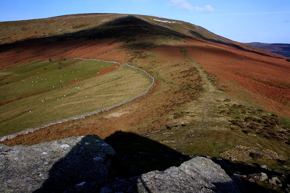
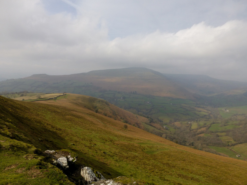
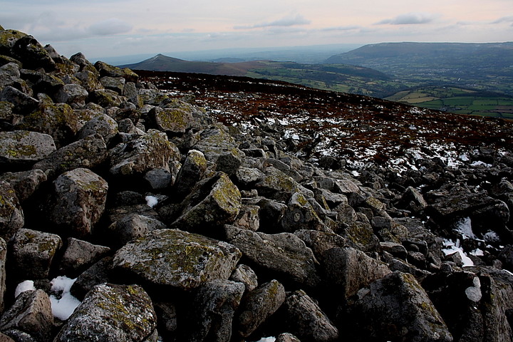
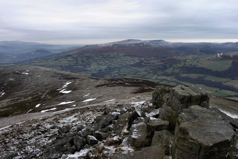
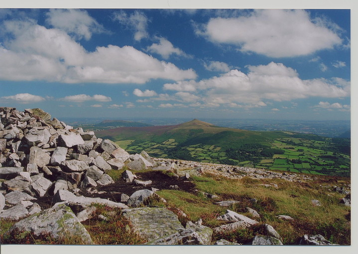
Visited 27.3.2010 after a trip to the excellent Crug Hywel camp. Getting up here from the fort is a long climb up to a height of 701 metres. It's a well worn path, but pretty boggy in places - the peat doesn't drain very well. There are also numerous springs and a couple of small streams to pass, so in wet weather this is probably very wet indeed. Turning around, there is a great view of the flat top of the fort, now dropping away below.

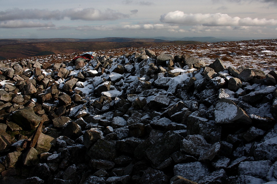
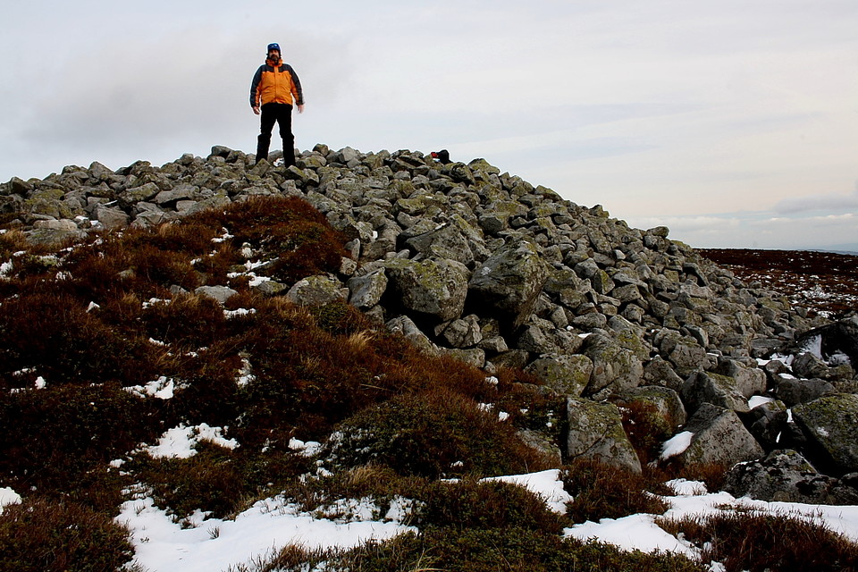
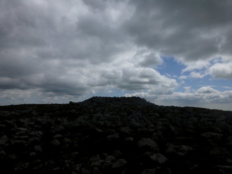
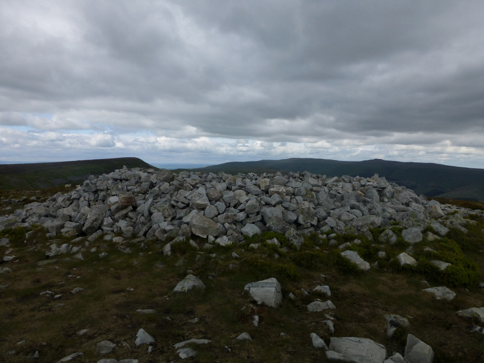
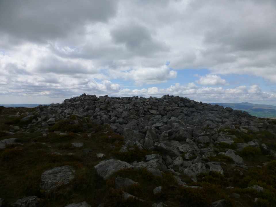
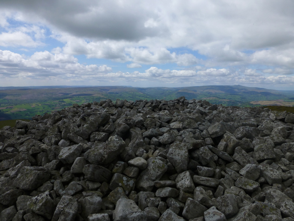
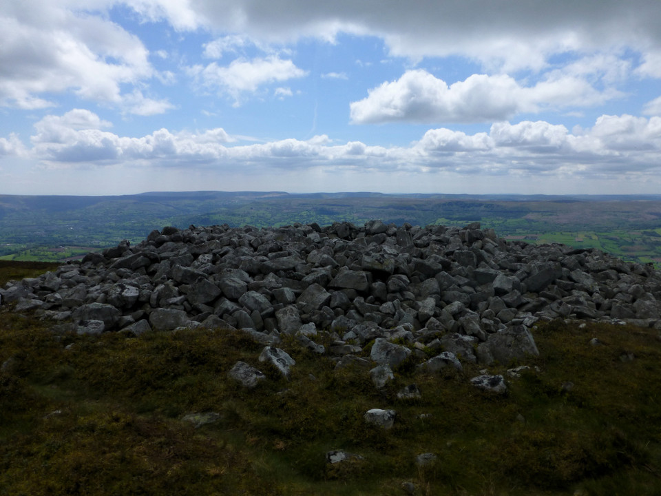
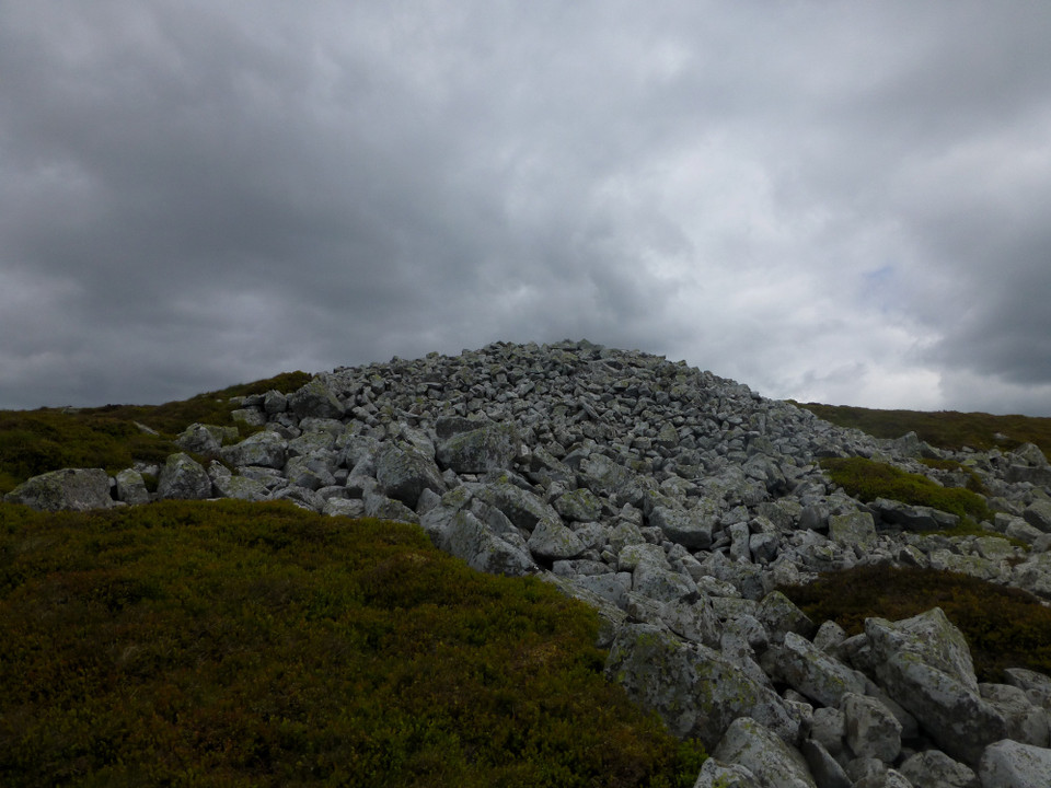
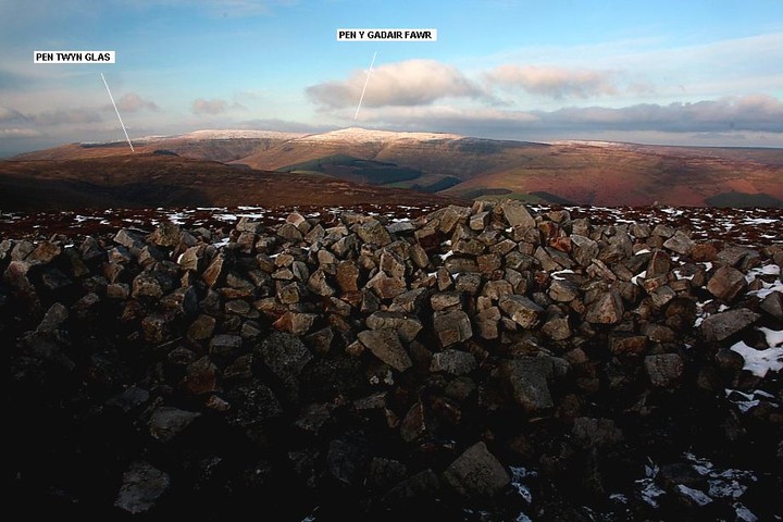
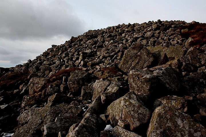
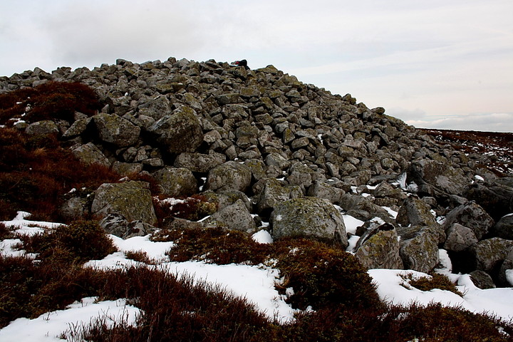
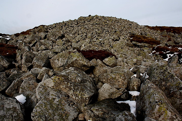
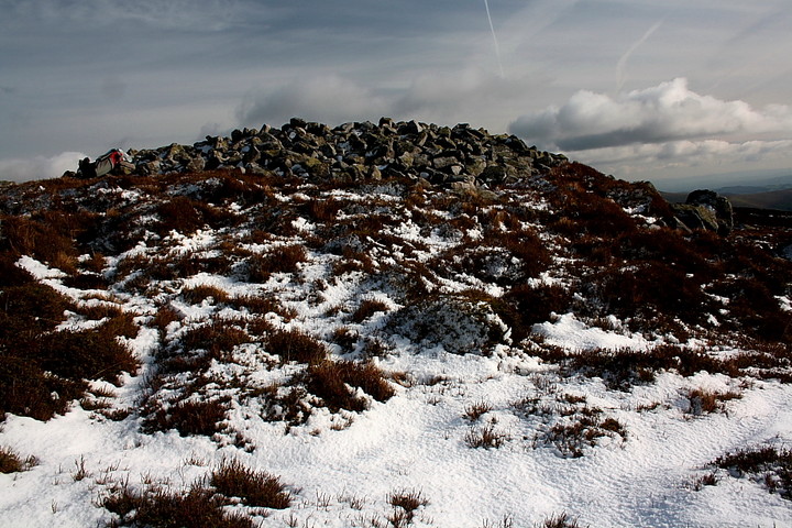
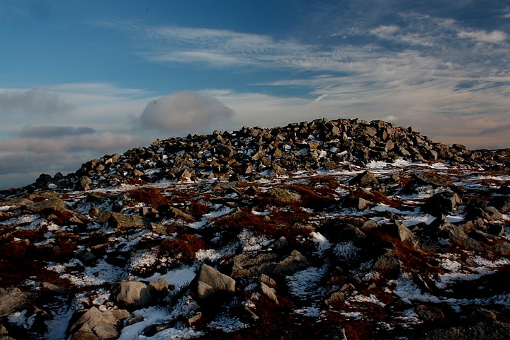
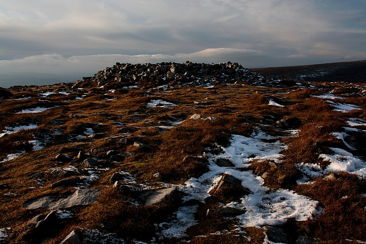
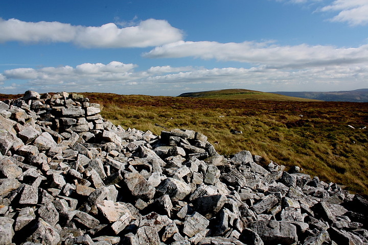
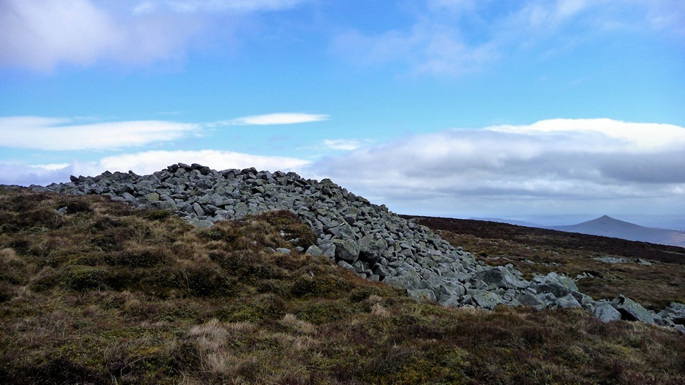
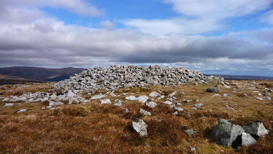
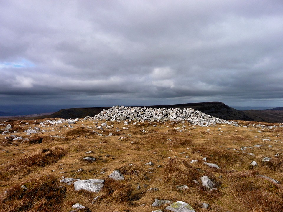
My visit coincided with that of a group of lunatics running up here as part of a three peaks challenge, so the summit itself was also home to a couple of tents and some friendly marshalls. There are two large summit cairns, both have been robbed but both are still impressive, and the northern one is a visible landmark from the neighbouring Pen Allt-mawr, as well as from Mynydd Llangorse to the north-west.

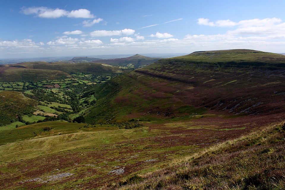
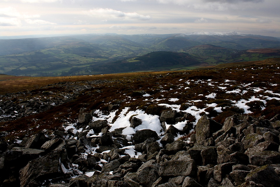
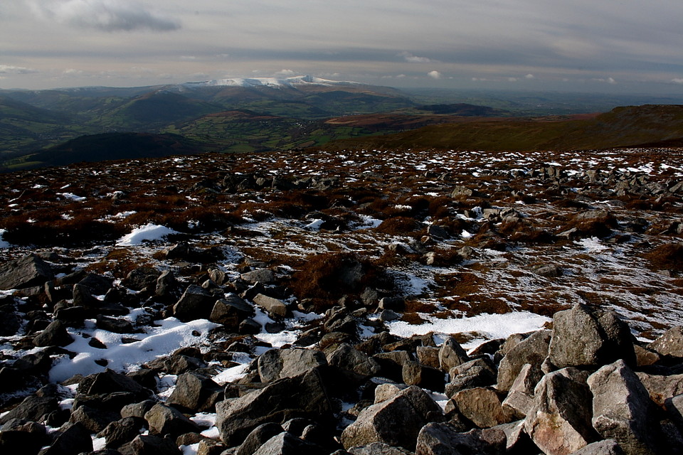
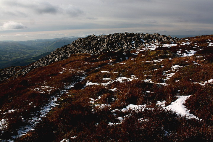
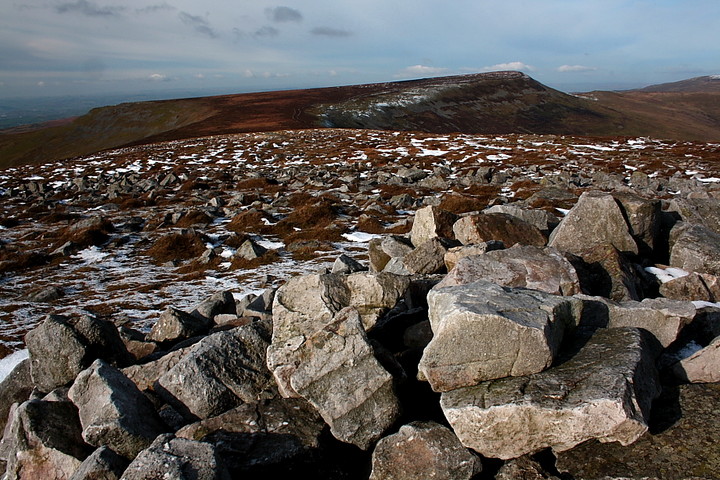
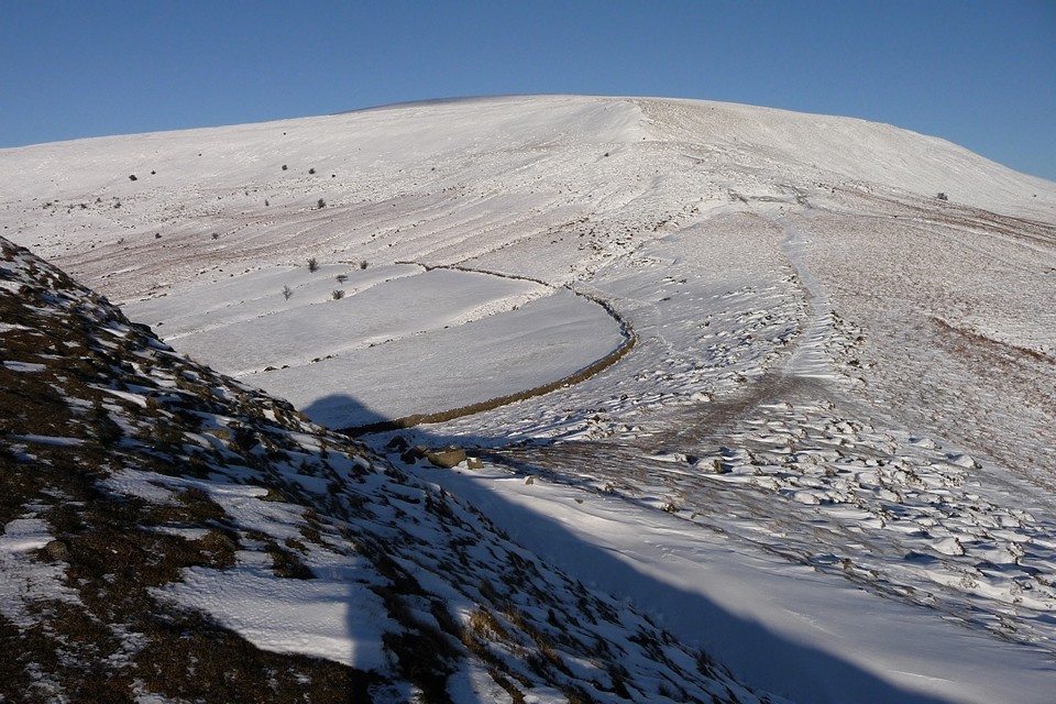
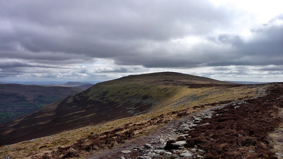
Not somewhere to come in poor visibility, this is an area of open moorland so make sure you're properly dressed for changeable weather. That said, on a nice day the views are tremendous and the walk further north to Pen Allt-mawr is an easy one, over a flat, grassy plateau.
thesweetcheat Posted by thesweetcheat
12th April 2010ce
Edited 12th April 2010ce