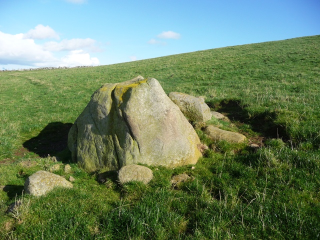
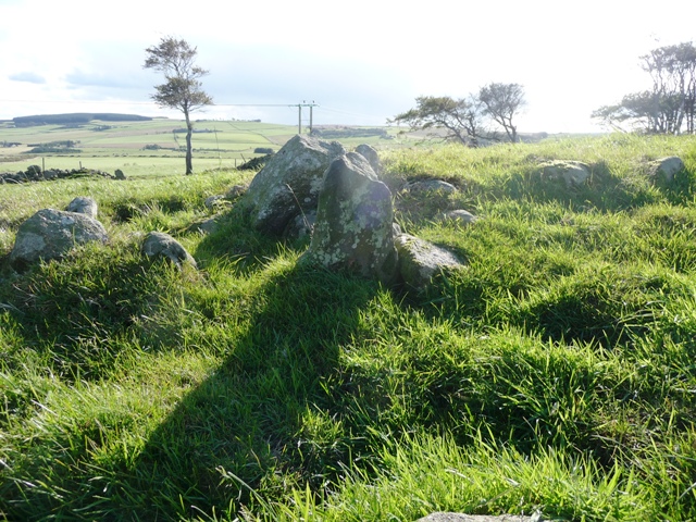
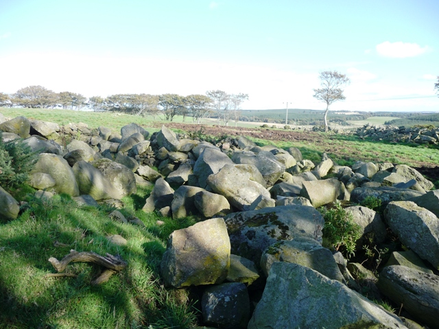
I don't like to disagree with the OS people but surely some of their results for this site are misleading. Set on top of a hill, just outside Maud, this kerb cairn and it's two smaller pals must have been massive, it's appropriate it's nickname is "The Giant's Cairn". Sadly only some of the kerbs remain but enough remain to give a fair picture. Massive boulders that might have surrounded the site have been pulled and piled into two massive heaps. Some explosive work, ah the local apprentices again fresh from Gaval no doubt, has happened here as quite a lot of boulders have drill marks in them.
Canmore say four, I say five near each other plus at least another six stones are earthfast of the biggest kerb cairn which has been hollowed out. This is quite easily the biggest area for a kerb cairn I've ever seen. I'll put the Canmore link up for comparison.
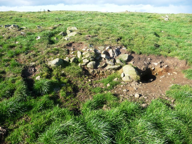
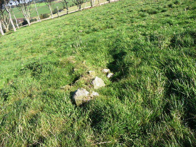
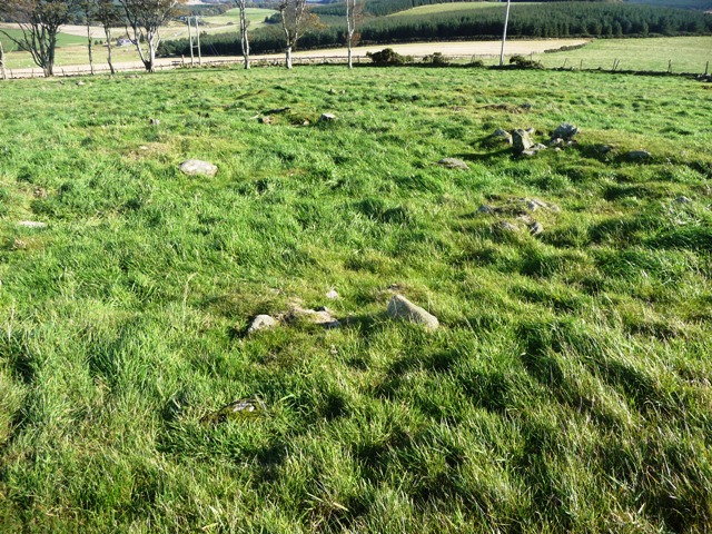
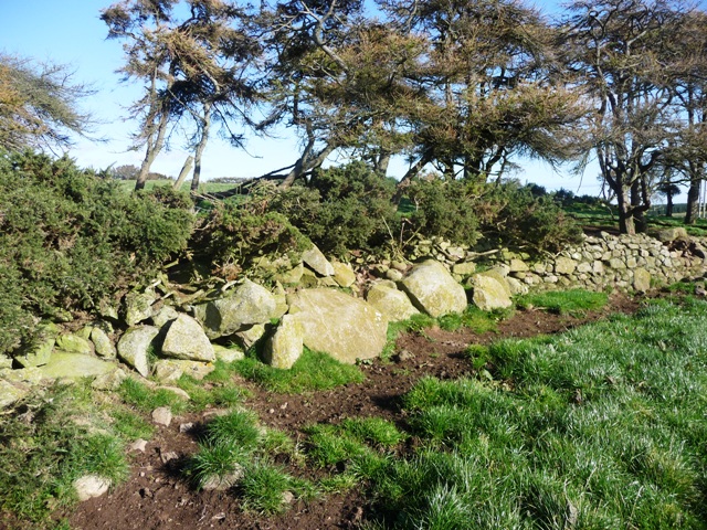
More interestingly the OS says there are no trace of the two smaller kerb cairns slightly to the north. I have to say they are wrong. Both cairns have several small kerbs surviving and both have been hollowed out. Also both have little straight lines of stones heading north for a short distance. Perhaps an entrance of some sort.
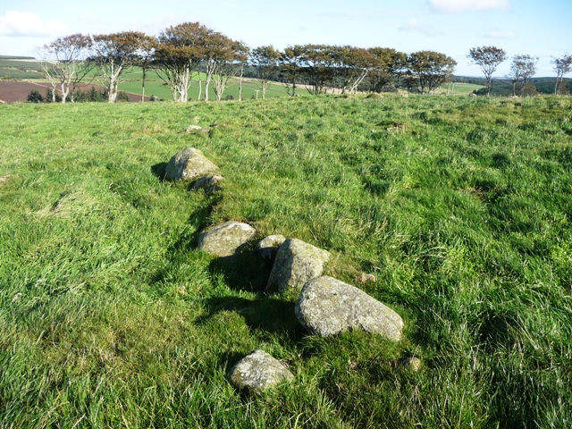
To the south of the cairn there is some erosion. This gives an indication of how the cairn was build, loads of small boulders and earth.
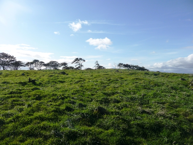
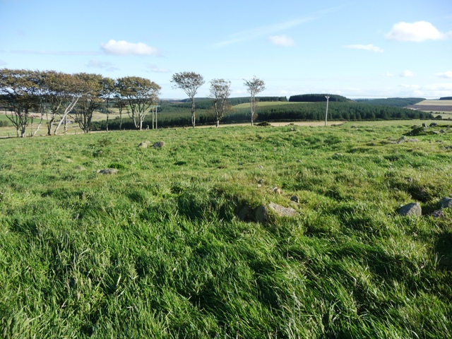
Like Broomend and Pitglassie there is a lot going on here. To the north there is Auchmachar Cairn (visible) and RSC, Louden Wood, White Cow Wood, to the east Aikey Brae, West Crichie, Skelmuir, to the south Auchmaliddie, Old Maud and to the west Culsh (destroyed) and the removed cairns at Atherb. Maybe it's just my mind doing overtime and running riot, which is nothing unusual, but this is a worthwhile visit. Good all round views of the rural area. Looked for ages amongst the boulders for any rock art but no joy!
Follow the B9106, Victoria Road, going north out of Maud crossing the South Ugie at the Old Maud Bridge. Follow the road until the first severe corner and follow the track up the hill, if coming south the Cairndale signpost will be seen. This is dead straight, stop at the first corner, the cairn(s) are on top of the hill in front. I intended to stay for a few minutes but did a Gladman and remained for about three hours! Right on!, as he would say.