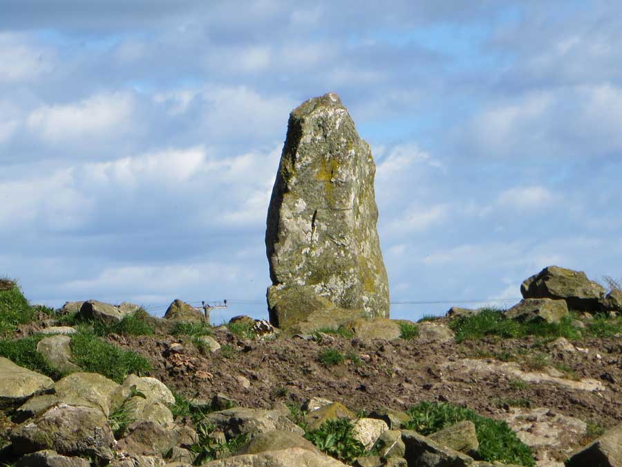
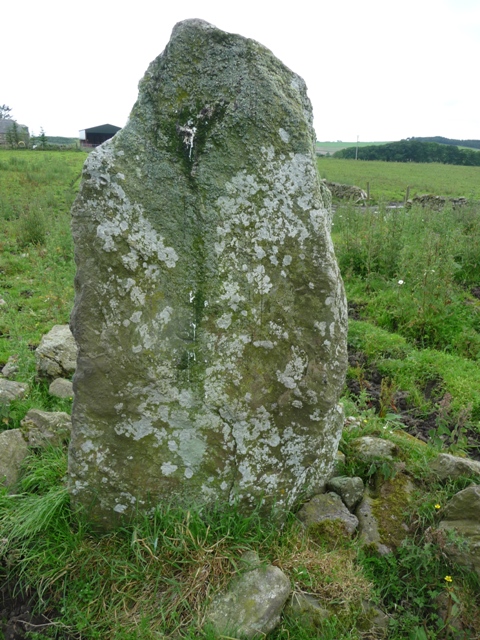
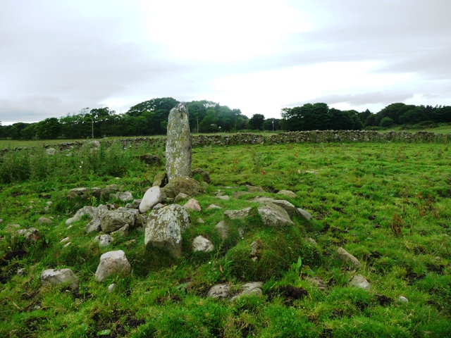
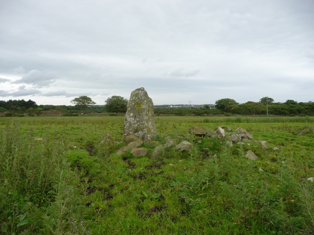
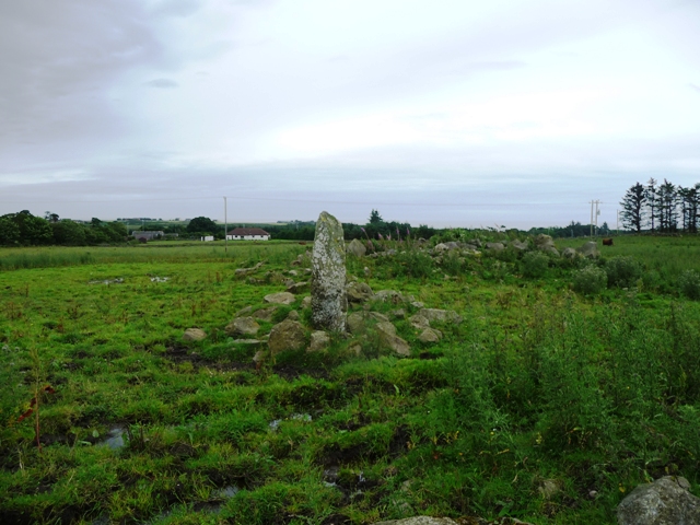
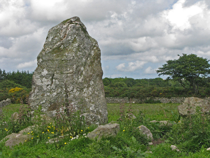
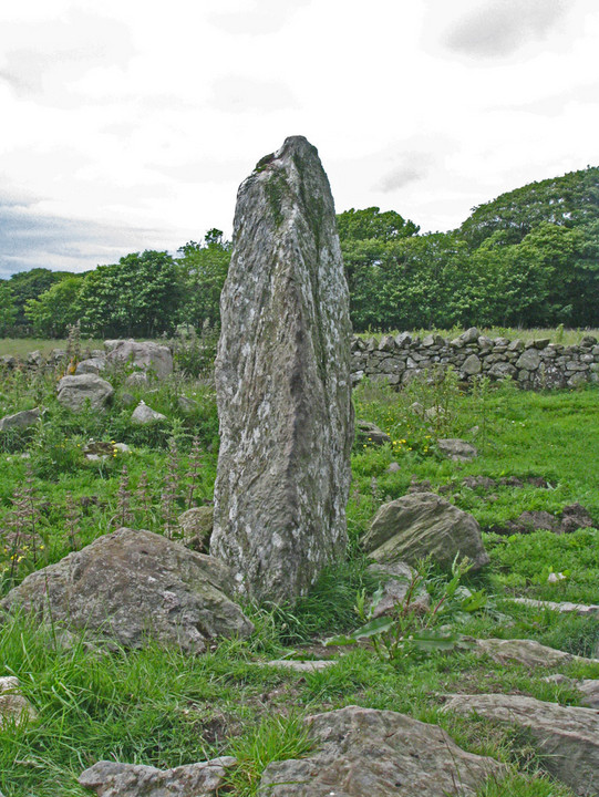
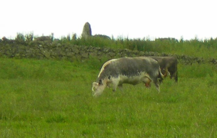
This stone stands at over 2 meters in height in the middle of a rather boggy field. Several chokes are scattered around the base. Great all round views of the rural countryside south of Aberdeen.
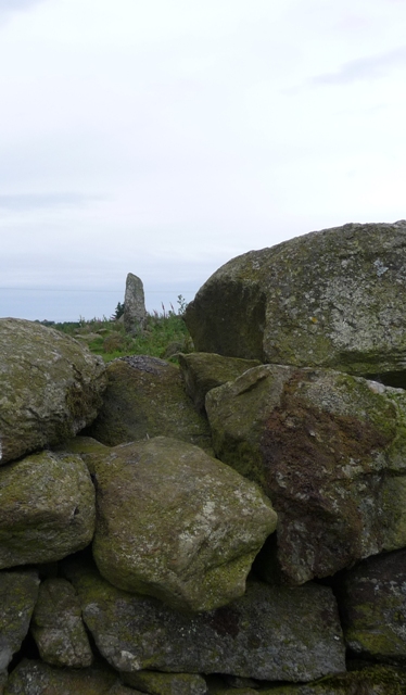
Leave the A90 at Cammochmore heading west, the small village being by-passed, taking the minor road west opposite the now sadly closed pub. Stop at the end of the first minor road north at Berrymuir Farm. From here jump the gate and head east over the field. Jump over the dry stane dyke and the stone will be in front. Take care not to drown in the knee deep mud.