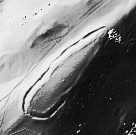
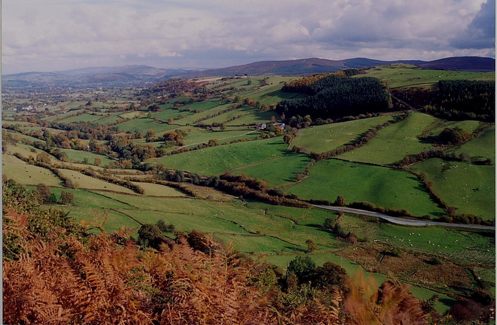
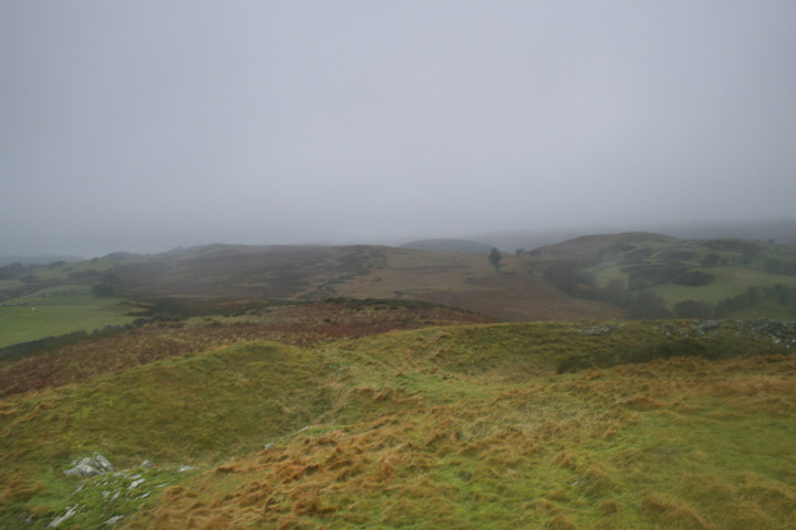
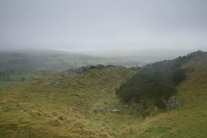
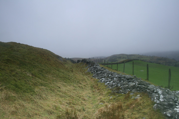
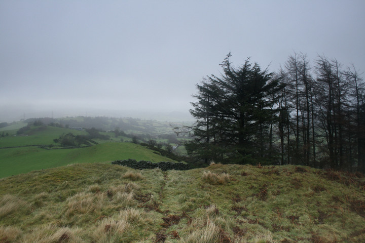
The hillfort is a lot easier to find than the nearby stone circle and can be seen for miles around. Easy to get to as it is near two lanes to the northwest and the south east but not so easy to get up. It had rained fairly constantly all morning but stopped whilst I was exposed on top of the hill. The main entrance was apparently the most northern of the two with earthworks extending beyond the walls. The southern entrance is however now the most visually impressive with a small room between the entrance and the ditch, the bank and ditch running north from here is also in good condition six feet between ditch botttom and bank top. Coflein hints that it might be an example of a vitrified fort.
Respect to Postie for having reached this Hillfort.
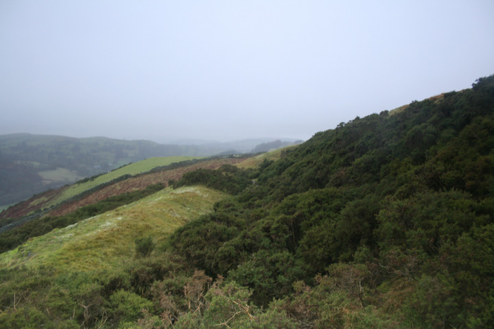
I parked up on the narrow lane to the south of the site and was faced with not only the usual barbed wire fence but also head height ferns! The hill is also very steep from this direction (hence the reason for the Hillfort being sited here) and I decided to leave this for another day. Going by the size/amount of the ferns I would suggest a summer visit is not a good idea!

 Posted by postman