
Plan showing the magnetometer survey carried out on behalf of the Avebury World Heritage Site Management Officer to accurately locate the barrow so it could be ‘removed from cultivation’.
Image credit: English Heritage
Plan showing the magnetometer survey carried out on behalf of the Avebury World Heritage Site Management Officer to accurately locate the barrow so it could be ‘removed from cultivation’.

The remains of the barrows southern side ditch. The south street lane which bisects the barrow can be seen, along with a strip of land left uncultivated, marking the side ditch’s position.

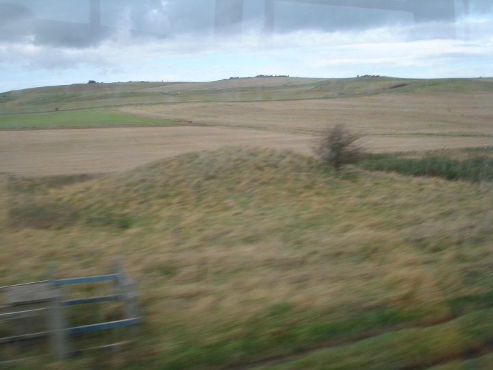
The remains of the barrows southern side ditch can just be seen as a strip of land left uncultivated.

The remains of the barrow can be seen as a darker patch covered with danelions. Adam and Eve standing stones in the background.

The remains of the barrow looking north towards the Adam and Eve standing stones

Reconstruction of Lanhill Long Barrow
Plan of the barrow showing known chambers and the degree of destruction

Langdean Stone Circle
In the valley due south of the village of East Kennett stands an unrecorded stone circle, to which I have given the above name, which Mr. Crawford tells me was the title of the valley in the 17th century.

Plan of Pennings Circle, Avebury – O.G.S. Crawford, F.S.A. 1922
Stones are shown in solid black and depressions in the grass where stones may have stood by broken circles
North Down Barrow Cemetary on the A361 between Devizes and Avebury.
Top Deck of the Trans Wilts Express – Chance October 2007

Badger set in Manton Round Barrow. The `Old Creature’ has a black and white friend or two.

Manton Round Barrow looking towards the River Kennett and Plough cottage

In woods marked Stone Woods Field up from the Barrow


The Barrow Southern side with blown over Beech tree


Beacon Hill from Oliver’s Castle – Chance April 2008

Roundway Down – A Special place – Chance – 18/04/08

The ancient track to Oliver’s Castle – Chance – 18/04/08

Standing on the edge of Oliver’s Castle – Chance – 18/04/08

Moon Rise over Oliver’s Castle
Chance – 17/04/08

Morgans Hill from Kings Play Hill Long Barrow

Looking South West from the Barrow looking towards Olivers Castle

The Barrow again with Morgans Hill in the background

Kings Play Hill Long Barrow – The green patch with the tyre tracks going over it

Kings Play Hill looking towards Olivers Castle


Morgans Hill as seen from Oldbury Castle

Part of the North Down area as seen from Oldbury Castle looking South towards the Vale of Pewsey

Prospect of Oldbury Castle and White Horse from Mount Wood

South side of the Mount with filled in ditch


The Mount looking south showing conical shape unlike other barrows


Plan of the southern sector of the circle showing the numbering of the stones.
The outer circle numbering starts at the begining of the West Kenett Aveune junction at the stone known as the Devil’s chair or Goddess stone No.1. The numbers then move round clockwise until they reach the final stone of No.98.
The position of the Ring Stone is shown in relation to the overall plan

Plan of the Northern sector of the circle showing stones, numbers 30 to 50 in the outer circle and the remaining stones of the northern or moon circle, numbers 201 to 210.
The postion of Cove is also shown in relation to the northern or moon circle.

Stonehenge reconstructed showing stones standing, fallen, missing and their numbers.

The Ladies of the Bristol and Gloucestershire Archaeological Society examine the Piggledean sarsen’s before an address by the Rev. E.H Goddard. – Summer Outing 1907

Stonehenge Free Festival – June 1982 – Stonehenge, the car park and in the top right, the Cursus Barrow Group

Stonehenge Free Festival – 21 June 1976 – The Stones and “camp site” from the east

Stone 53 – The Dagger Stone – July 1953 with Custodian

Stone 53 showing multiple Daggers – 5pm 19th July 1953 as recorded by Professor Atkinson

The “restored” Stone 60 sits in a sea of gravel – 1964

In 1959 Stone 60 was straightened and, at the same time, in order to deal with what was seen as a weakness in its structure, the ‘cave’ in its
base was filled in. Here the wooden shuttering is constructed prior to pouring in the concrete.

Amesbury’s Rock n’ Roll Rebels wait for the dawn – Summer Solstice 1958

Amesbury’s Rotary Ladies Club also wait for the dawn – Summer Solstice 1958

Ground Plan of Horslip Long Bartrow as Excavated 1959 by Ashbee & Smith