
Coffin Stone (Glenluce) viewed from S.
Image credit: Mark Johnstone
Coffin Stone (Glenluce) viewed from S.
Coffin Stone (Glenluce) on Canmore.
The Coffin Stone (Glenluce) is a natural coffin-shaped stone c. 1 mile ENE of Glenluce on the N side of a disused section of the A75. The stone lies c. 30 yards N of the old road on the edge of a marshy area. The N-S Axis of the Coffin Stone (Glenluce) is c. 6 ft 6 in long and the E-W Axis is 2 ft wide at the top tapering to 1 ft wide at the base. Viewed from W and S the stone has a close resemblance to a coffin.
Coffin Stone: A large coffin-shaped stone, lying flat. It is not supposed to cover any grave, nor does it appear to have been artificially shaped.
Name Book 1849 (Canmore ID 62188) (go to Links).
Directions: Take the E exit to Glenluce off the A75. After c. 250 yards take the unsigned R turn dead-end road. After c. 0.5 mile continue straight on for 50 yards to a gate for a private road. Park up and follow the disused A75 for c. 360 yards to reach a gate on the L at NX 21777 58192. Cross a small stream on a bridge within 10 yards of the gate, turn R parallel to the stream for c. 70 yards to reach the Coffin Stone (Glenluce).


Camel Rock, Porthleven in the background.


Camel Rock is a rock stack on the cliffs at Rinsey Head in Cornwall. As you climb up the South West Coast Path (SWCP) towards Trewavas Head from Rinsey a rock stack on SE edge of the cliffs assumes the profile of a camel. Camel Rock can also be viewed from an approach from the E on the SWCP but the illusion is less convincing.
The rock stack is also known as The Bishop locally.
Directions: There is a SWCP Car Park in Rinsey. Follow the SWCP path past Wheal Prosper Mine heading SE alongside the coast. After c. 0.5 mile on the path you will reach Trewavas Cliff, a Chambered Cairn already listed in TMA. Continue E up the SWCP for c. 100 yards. Camel Rock will come into view on the edge of the coast.
Braidenoch Cross Slabs on Canmore.

Approaching Bruce’s Stone (Clatteringshaws) on path from Clatteringshaws Visitor Centre.

Bruce’s Stone (Clatteringshaws).

Bruce’s Stone (Clatteringshaws) in winter (13.01.13).
Bruce’s Stone (Clatteringshaws) on Canmore.
“This granite boulder on Moss Raploch marks the scene of Robert the Bruce’s first victory over the English after his return to the Scottish mainland in 1307.” Canmore ID 63776 (go to Links).
Bruce’s Stone (Clatteringshaws) is an irregular shaped rock c. 6 feet high marking the site of the battle of Moss Raploch.
There is a dedicated path from Clatteringshaws Visitor Centre to Bruce’s Stone (Clatteringshaws). It is only a 5 minute walk along the banks of Clatteringshaws reservoir to the stone. There is an information board adjacent to the site.
There is a second Bruce’s Stone c. 8 miles W on the banks of Loch Trool. It is a monument to Bruce’s victory at Glen Trool in 1307.

Braidenoch Cross Slabs in situ on Braidenoch Hill c. 150 yards N of the path.

Braidenoch Cross Slabs lie hidden in tufts of moorland grass.


Braidenoch Cross Slab I is fractured at the neck of the cross.

Braidenoch Cross Slabs can be found c. 150 yards S of the path running from Carsphairn to Polmaddie. At present the two stones with crude cross carvings lie horizontal in rough grass on a S slope of Braidenoch Hill. However, it is reasonable to assume they were once vertical markers close to the old bridle path. The ancient path was known as the packman’s road according to Canmore ID 63877 (go to Links).
Canmore dates the carvings to the eighth or ninth century. It states that the larger stone measures c. 3 ft 3 in long, 17 in wide and 7 in thick. There is a fracture across the stone c. 9 in from the top at the neck of the cross. The smaller stone dimensions are given as 2 ft 2 in long, 9 in wide and 6.5 in thick. This stone is intact.
Directions: There is room to park at Carnavel Farm junction on the W side of Carsphain just before you cross the bridge. Follow the path to Polmaddy uphill for 1.5 miles until you observe Bardennoch hill trig point on your L. Continue on this path until you reach NX 56981 90728. Head NE across a dry stane dyke for c. 150 yards to locate your target.
Braidenoch Cross Slabs are difficult to find without GPS. The bearing from the summit of Braidenoch Hill to the Braidenoch Cross Slabs is c. 285 degrees (SSW) for c. 200 yards.
Baluachcraig Cup and Ring Markings on BRAC
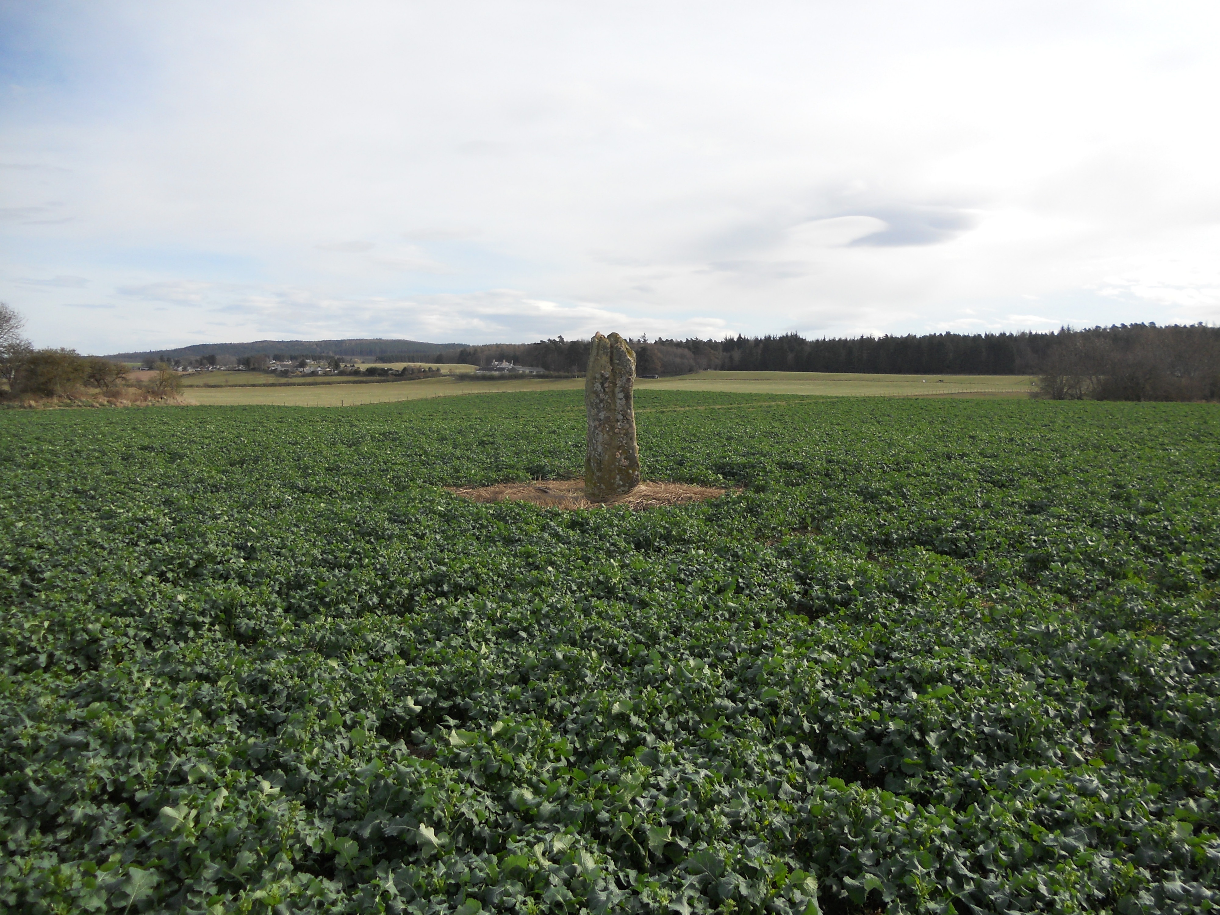

Two Standing Stones, remnants of the peristalith on Dun Bharpa.
Ballinaby 2 Standing Stone on Canmore.
Canmore ID 37386 (go to Links) estimates the girth of the stone to be 3m at the base, girth being the distance round the perimeter of an object.
Although I didn’t measure this on my visit the estimate seems reasonable to me.
Ballinaby 1 Standing Stone on Canmore.


Round Dounan on Canmore
Round Dounan is a small fort in the grounds of Dunragit House. It is situated on a natural mound at the top of a slope c. 75 yards E of the road leading to Dunragit House. The mound is protected on the W by the wooded slope with a surrounding terrace on the N, E & S sides. There are two deep gouges on the N end of the knoll. The mound is c. 15 feet high with a flat grassy summit plateau cleared of vegetation. There are no features on the plateau save some tree stumps. The NW-SE Axis measures c. 35 yards and the NE-SW Axis measures c. 25 yards giving the mound an oval shape.
Canmore ID 61250 (go to Links) has further details of Round Dounan.

Bagbie Wall Standing Stone viewed from S side of wall.

Close-Up of Bagbie Wall Standing Stone viewed from S side of wall.
Bagbie Wall Stone on Canmore

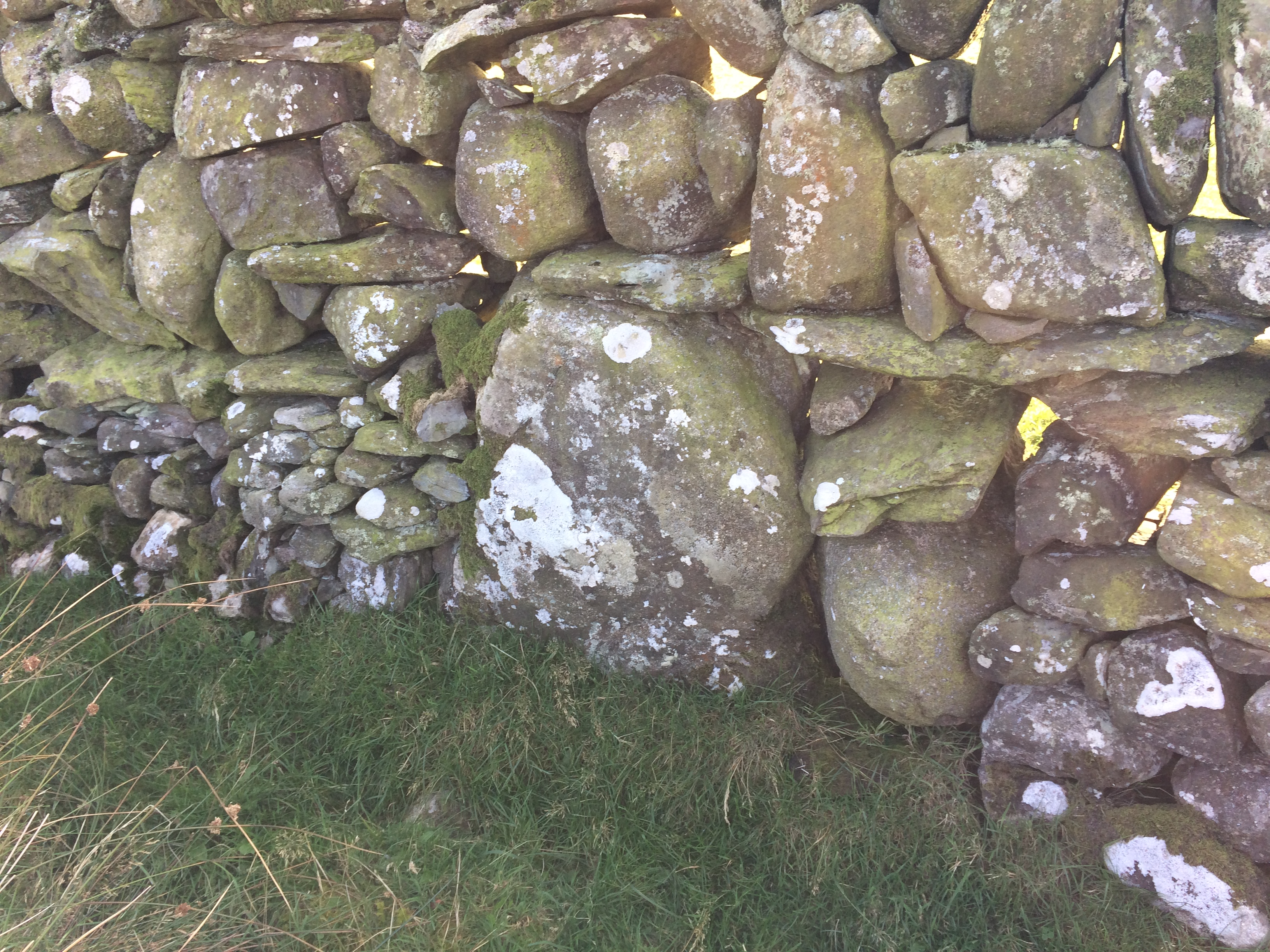
Bagbie Wall Stone is centre picture in the dry stane dyke.

Bagbie Wall Stone viewed from above.
There is a dry stane dyke c. 30 yards S of Bagbie Cairn. A short standing stone c. 2.5 feet high and 2.5 feet wide has been incorporated into the wall.
Canmore ID 281565 (go to Links) notes that the stone is “on a direct sight-line between Bagbie standing stone and the two upright stones on the ESE edge on Baggie cairn.” (J Pickin 2005).


Moss Covered Stones in N Quadrant of Shennanton SE Cairn.

Possible Kerb Stone in S Quadrant of Shennanton SE Cairn (1m walking stick for scale).
Shennanton SE Cairn on Canmore
Shennanton SE Cairn is located on the edge of a copse of trees at the A75/B735 junction. The cairn has been fenced off in the corner of a field. It has been extensively robbed of stone consisting of a raised platform up to 3 feet high. It is covered in vegetation including briars and a mature tree sprouting in the E quadrant. There is an area of moss covered stones in the NE quadrant which could be original stones. A large c. 5 feet long moss-covered stone lies S of the tree, possibly a displaced kerb stone. The size and shape of Shennanton SE Cairn is difficult to ascertain due to the ground cover however I estimated it to be an oval cairn with a c. 30 yards diameter.
Shennanton Cairn SE is listed as Canmore ID 62971 (go to Links).
Shennanton NW Cairn lies c. 500 yards NW of Shennanton SE Cairn in unimproved pasture N of the A75 Shennanton straight.

