Diddles Hill Cairn on OS Mapping
markj99
Dumfries and Galloway Council has announced restrictions and road closures on the single-track road from Innermessan to New Luce via Penwhirn Dam. The road is being upgraded for the construction of a large windfarm. These restrictions are scheduled to run from November 14th, 2022 to Spring, 2023.
Directions to Diddles Hill Cairn: Take the A77 Ayr E out of Stranraer. After c. 2 miles continue past the A751 Dumfries junction for c. 0.3 mile. Take the right turn onto an unsigned single-track road. Stay on this road for c. 4.6 miles. Park in a lay-by on the left at NX 1244 6896, opposite a mound at Penwhirn Reservoir. Diddles Hill Cairn is c. 250 yards SE in rough moorland. My route can be followed on Diddles Hill Cairn (go to Links).


Stones on W Arc of Bank surrounding Balchriston Dun Enclosure.
Image credit: Mark Johnstone

Stone on W Arc of Bank surrounding Balchriston Dun Enclosure.
Image credit: Mark Johnstone

Stone Structure on N Arc of Balchriston Dun Enclosure.
Image credit: Mark Johnstone

Enclosure of Balchriston Dun viewed from N.
Image credit: Mark Johnstone
Balchriston Dun on Canmore
Visited 09.11.22
Balchriston Dun is built on a natural knoll in Rancleugh Wood c. 2 miles WNW of Maybole in South Ayrshire. The knoll is wedged between 2 burns on the N, S and W, with a natural gully on the E flank. The dun is defended by steep slopes on the S & W flanks. The N and E flanks are less severe, measuring up to c. 20 feet high. The summit of Balchriston Dun is a hollow enclosure measuring c. 12 yards in diameter with a surrounding bank up to c. 4 feet high. The W Arc of the bank has exposed stones on the surface. There are remains of a stone structure on the N Arc. Canmore ID 40957 (go to Links) speculates that this may have been a gatehouse guarding an entrance. A ring of scrubby trees has occupied the summit.


Possible Kerb Stone on S Arc of Diddles Hill Cairn.
Image credit: Mark Johnstone

Diddles Hill Cairn on Canmore
Visited 08.11.22
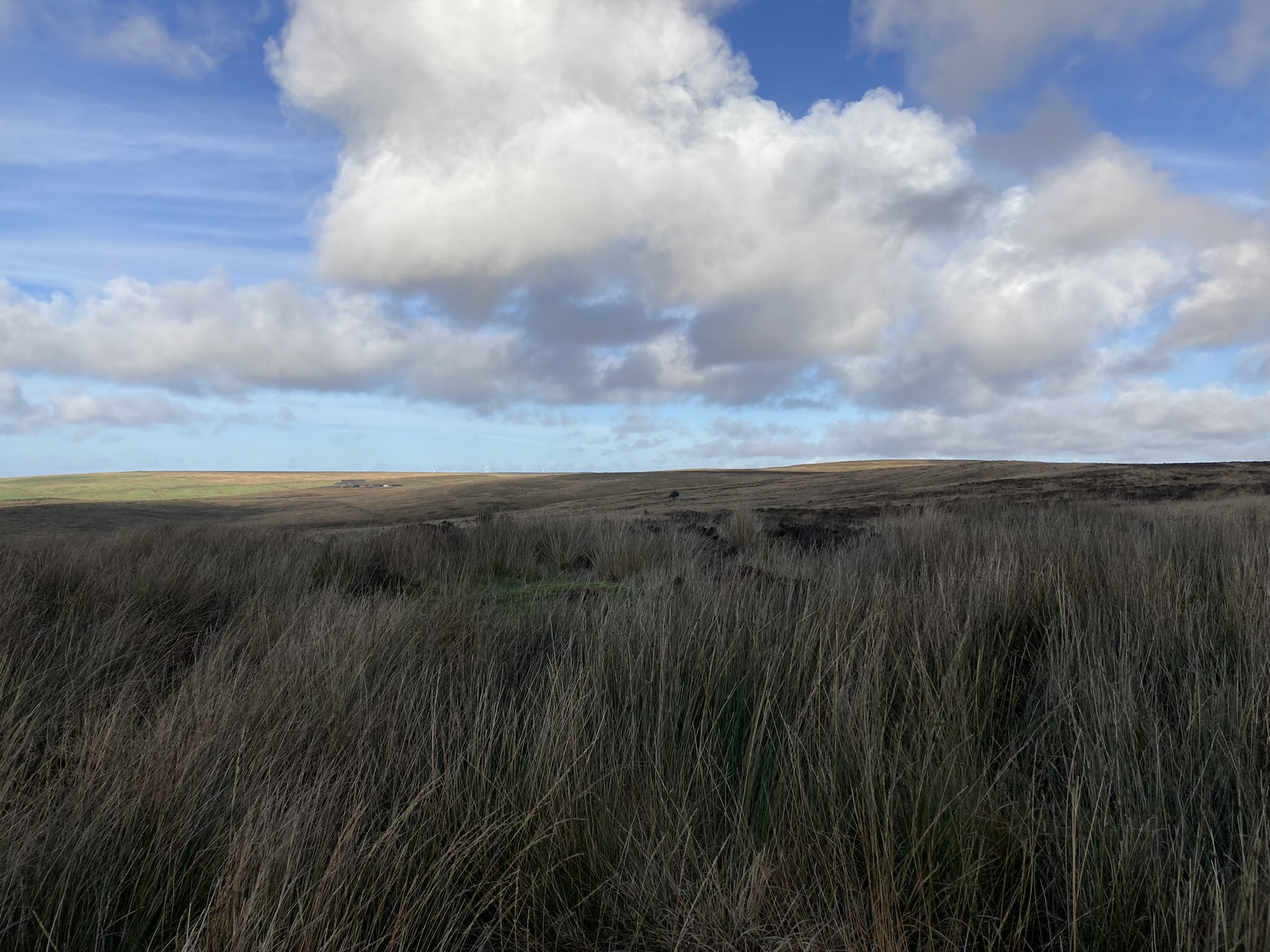
Diddles Hill Cairn is located c. 250 yards SE of the New Luce road at Penwhirn Reservoir. The cairn measures c. 10 yards in diameter and 1 foot high. There are several possible kerb stones on the S Arc, the largest measuring c. 2.5 feet high. The surface of the cairn is obscured by moor grass except for a small central mound. The mound measures c. 10 feet in diameter and 1 foot high, with a central irregular boulder measuring c. 1.5 feet high and wide. Small stones are scattered on the surface of the central mound. Canmore ID 61506 (go to Links) has further details of Diddles Hill Cairn.


Balker Moor S Cairn on Canmore
Visited 06.11.22
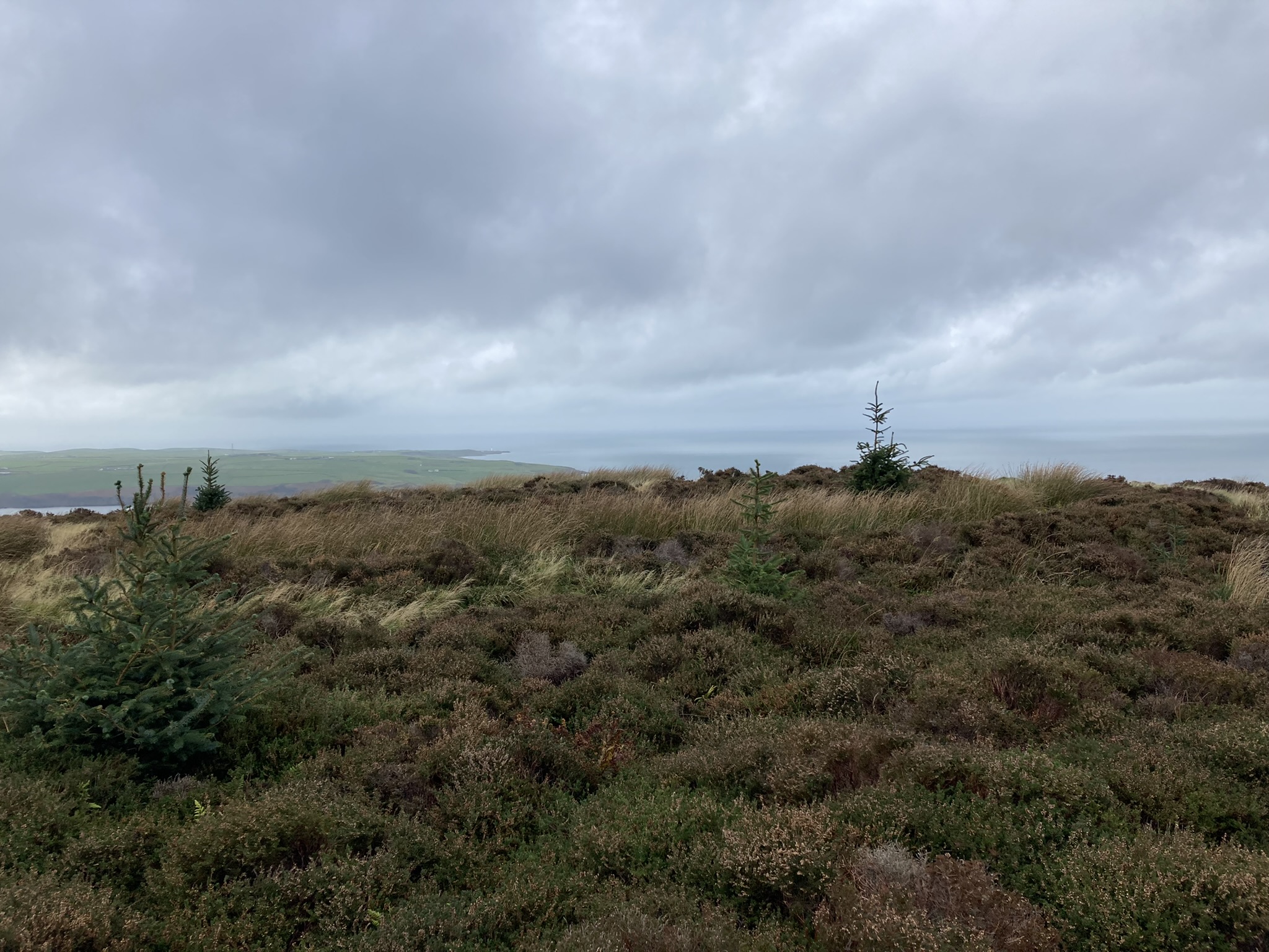
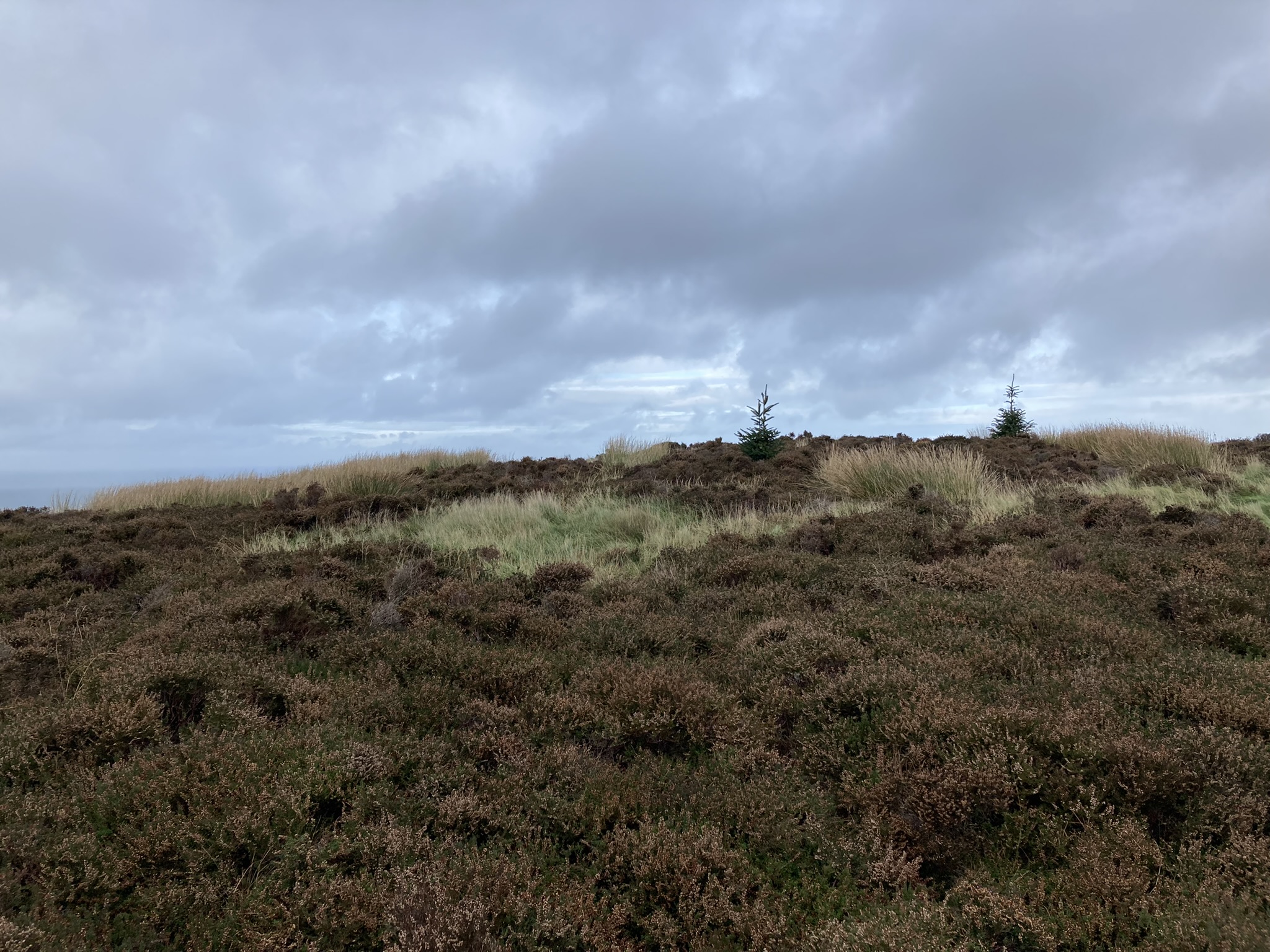
Balker Moor S Cairn is located on an isolated moor c. 4 miles NE of Stranraer. According to Canmore ID 61699 (go to Links), this sub-circular cairn measures c. 20 yards in diameter and 2 feet high. The irregular surface of the cairn is occupied by reeds and moor grass with only one visible stony mound, measuring c. 10 feet in diameter by 2 feet high. Another proposed cairn, located c. 110 yards NNW, is listed as Canmore ID 61730. I was unable to locate any trace of the N cairn in the rough moorland.
Directions: Take the A77 Ayr road E out of Stranraer. After c. 2 miles continue past the A751 Dumfries junction for c. 0.3 mile. Take the right turn onto an unsigned single track road. Stay on this road for c. 2.5 miles, past Craigcaffie Farm, then park up in a lay-by on the right at NX 1013 6501. Walk ESE across the moor parallel to the forest margin for c. 700 yards to NX 1072 6477, avoiding the boggiest ground. Walk c. 250 yards S from here to Balker Moor N Cairn at NX 10724 64545. Balker Moor S Cairn is located at NX 10767 64445, c. 110 yards SSE of the N cairn. My route can be seen on Balker Moor Cairns. Wellies and GPS navigation are essential.
The half mile trek to this cairn was waterlogged but I was compensated for my efforts by being 150 yards from a red deer stag and hinds (slightly nerve-wracking) and finding a hidden cairn in moorland. It isn’t the biggest cairn ever, but the overall experience was ultimately worthwhile.
Directions to Finnarts Hill Cairn: There is a minor crossroads on the A77 at Glenapp Church, c. 6 miles S from Ballantrae and 4 miles N of Cairnryan Take the unsigned road opposite Glenapp Church and turn immediately right onto a dead end at Glenapp Schoolhouse. Park up at NX 0743 7466 and follow the Ayrshire Coastal Path bearing right across the Water of App Bridge. Head SW and bear right up the ACP at NX 0671 7421. After c. 0.9 miles on this track there is a gateway at NX 05650 74224. Turn left over a stream, walk W up a fence line for c. 250 yards. Go through a gateway, head W for c. 100 yards to reach Finnarts Hill Enclosure, a rough circle c. 25 yards in diameter. Finnarts Hill Cairn is located c. 250 yards SW down the slope. It is a grassy cairn in heather, better defined than the enclosure. My route can be followed on Finnarts Hill Cairn. On your return by the reverse route if you head N for c. 400 yards from the gateway on the ACP you will find two low standing stones (listed as Finnarts Hill Standing Stones on TMA) W of the path.
Directions to Finnarts Hill Cairn: There is a minor crossroads on the A77 at Glenapp Church, c. 6 miles S from Ballantrae and 4 miles N of Cairnryan Take the unsigned road opposite Glenapp Church and turn immediately right onto a dead end at Glenapp Schoolhouse. Park up at NX 0743 7466 and follow the Ayrshire Coastal Path bearing right across the Water of App Bridge. Head SW and bear right up the ACP at NX 0671 7421. After c. 0.9 miles on this track there is a gateway at NX 05650 74224. Turn left over a stream, walk W up a fence line for c. 250 yards. Go through a gateway, head W for c. 100 yards to reach Finnarts Hill Enclosure, a rough circle c. 25 yards in diameter. Finnarts Hill Cairn is located c. 250 yards SW down the slope. It is a grassy cairn in heather, better defined than the enclosure. My route can be followed on Finnarts Hill Cairn. On your return by the reverse route if you head N for c. 400 yards from the gateway on the ACP you will find two low standing stones (listed as Finnarts Hill Standing Stones on TMA) W of the path.
Howmoor Dun on OS Mapping
Directions to Howmoor Dun: Take the B7023 at the roundabout on the W edge of Maybole. After c. 0.9 miles take the right turn at Enoch Lodge House for Ayr (B7024). After c. 0.9 miles turn left onto an unsigned lane at a crossroads. After c. 150 yards there is a 3-way fork. Follow the middle lane for c. 0.5 miles to reach a lay-by for a path to Dunure. Walk along the track towards a quarry. Pass by a large cow shed. At the entrance to the quarry bear NE up a grassy slope into a field. Follow the edge of the field SW for c. 200 yards to reach Howmoor Dun. My route is viewable on Howmoor Dun (go to Links).
Teroy Fort on OS Mapping.
Visited 28.10.22
I have added this update because the trees round Teroy Fort have been felled since Spencer’s fieldnotes. I followed his route up to the edge of the forest, then walked along a field margin to reach Teroy Fort. My route can be seen on Teroy Fort (go to Links).


Finnarts Hill Enclosure viewed from N.
Image credit: Mark Johnstone
Finnarts Hill Enclosure viewed from E.
Image credit: Mark Johnstone
Finnarts Hill Enclosure viewed from S.
Image credit: Mark Johnstone

Finnarts Hill Enclosure viewed from W.
Image credit: Mark Johnstone

E Arc of Ditch of Finnarts Hill Enclosure.
Image credit: Mark Johnstone

SW Quadrant of Finnarts Hill Enclosure.
Image credit: Mark Johnstone

W View from Centre of Finnarts Hill Enclosure.
Image credit: Mark Johnstone