
SW Quadrant of Finnarts Hill Enclosure.
Image credit: Mark Johnstone
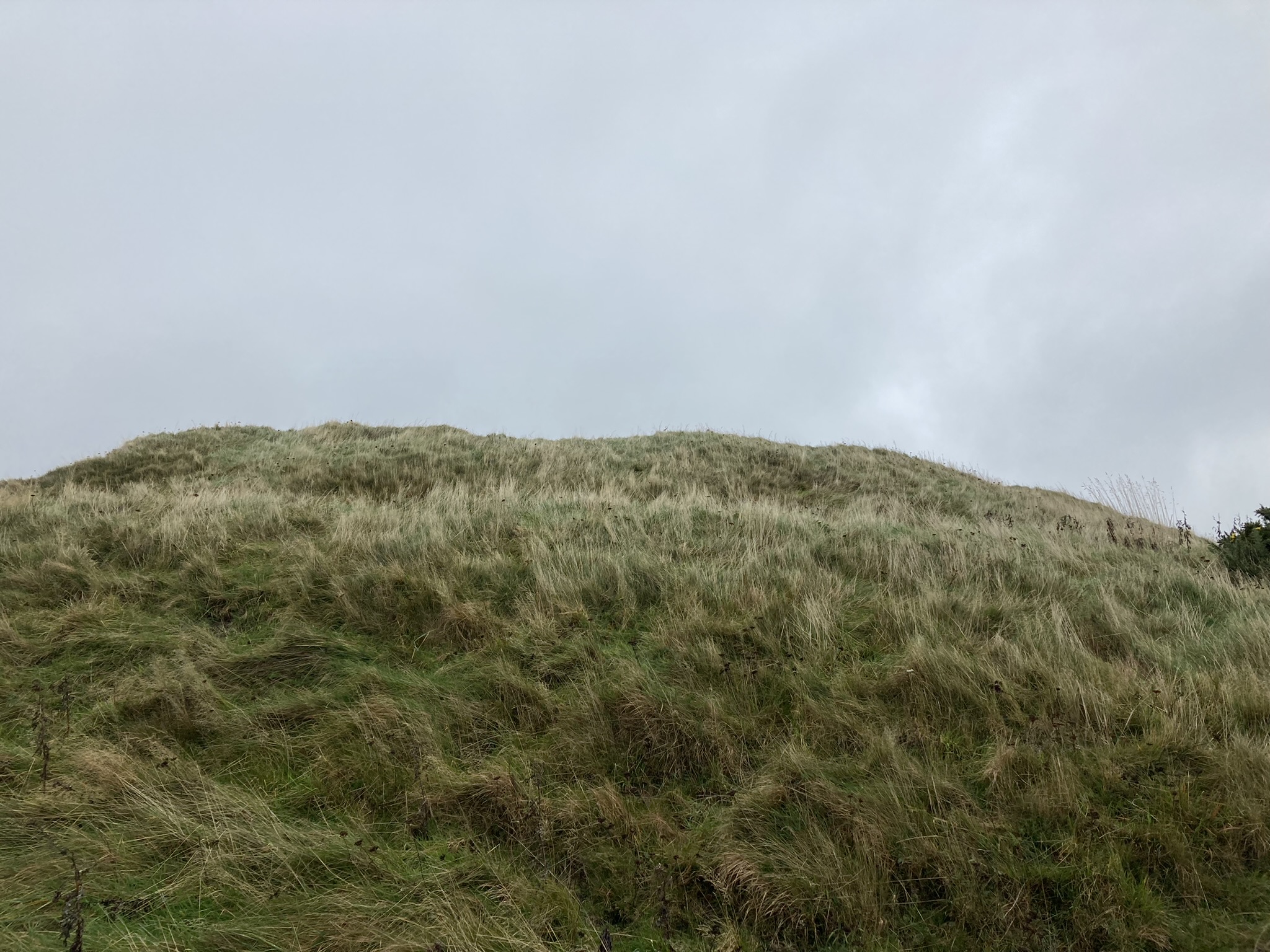
SW Quadrant of Finnarts Hill Enclosure.

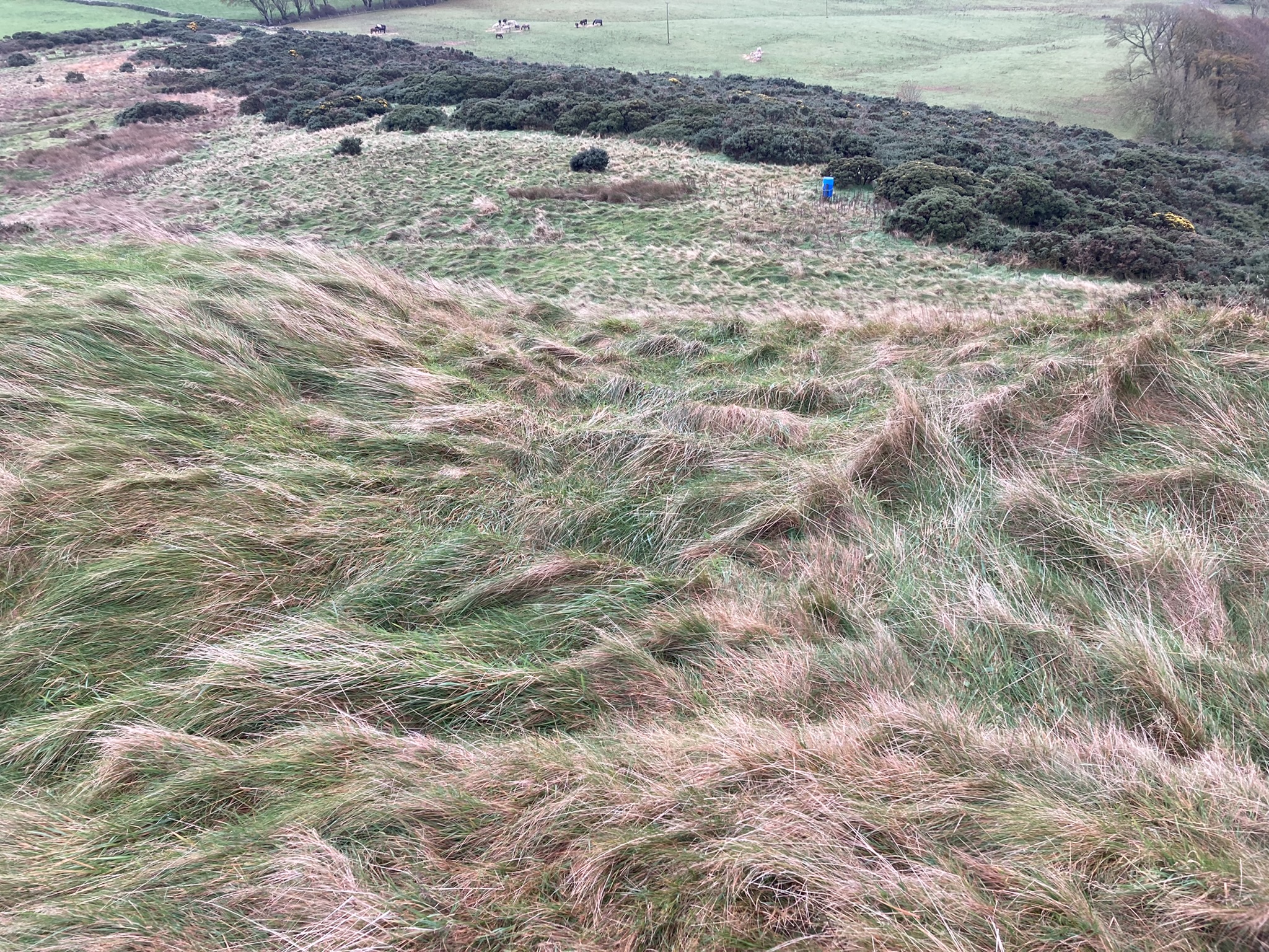
W View from Centre of Finnarts Hill Enclosure.
Finnarts Hill Enclosure on Canmore
Visited 25.10.22
Finnarts Hill Enclosure is a round earthwork on the summit of Finnarts Hill, c. 4 miles N of Cairnryan. The grassy enclosure, which measures c. 20 yards in diameter and 1 yard high, has a low outer bank and ditch on the perimeter. Canmore ID 60911 (go to Links) states that there is a causeway breaking the N Arc of the ditch. The ditches on the E & W Arcs have been delineated by reeds. The SW Quadrant of Finnarts Hill Enclosure has been covered in reeds also. There is an irregular hollow in the centre of the enclosure. There are extensive coastal views of Loch Ryan to the S and W, perhaps explaining the location of the enclosure. Additionally, there is a companion cairn c. 250 yards SW down the heather clad slope of Finnarts Hill.


A Pile of Stones on N Arc of Finnarts Hill Cairn.

Capstone in Centre of Finnarts Hill Cairn viewed from NE.
Visited 25.20.22
Finnarts Hill Cairn is on the W slope of Finnarts Hill, c. 4 miles N of Cairnryan. This grassy round cairn measures c. 15 yards in diameter and 2 feet high. It has been almost entirely stone-robbed with the exception of a small pile of stones on the N Arc and two stones in the central hollow. The central stones are remnants of a cist within which a food vessel was found according to Canmore ID 60912 (go to Links). The large capstone, which measures c. 6 feet long by 21 inches in square section, is orientated NE-SW. There is an enclosure c. 250 yards NE towards the summit of Finnarts Hill.
Finnarts Hill Cairn on Canmore


Kerb Stones on S Arc of Culquhasen Cottages Cairn.

Clearance Stones on E Arc of Culquhasen Cottages Cairn.

Clearance Stones on W Arc of Culquhasen Cottages Cairn.

Summit of Culquhasen Cottages Cairn viewed from E.
Culquhasen Cairn on Canmore
Visited 26.10.22
Culquhasen Cairn is located c. 3 miles SE of Glenluce in Dumfries and Galloway. The round cairn measures c. 60 feet in diameter and 6 feet high. There are traces of medium-sized Kerb stones on the E & S Arcs. On the S Arc there is a spacing of c. 3 yards between stones. Clearance stones have been dumped on the edge of the cairn, especially on the E and SW Arcs. The grassy surface of the cairn is studded with stones. The summit of the cairn has been populated by gorse bushes, obscuring the summit. Canmore ID 62245 (go to Links) has details of Culquhasen Cairn.
Howmoor Dun on Canmore


Ditch & Rampart on W Arc of Howmoor Dun viewed from E.
Gap in Rampart on SE Arc of Summit Plateau of Howmoor Dun.

Trench on SW Arc of Summit Plateau of Howmoor Dun.


Visited 24.10.22
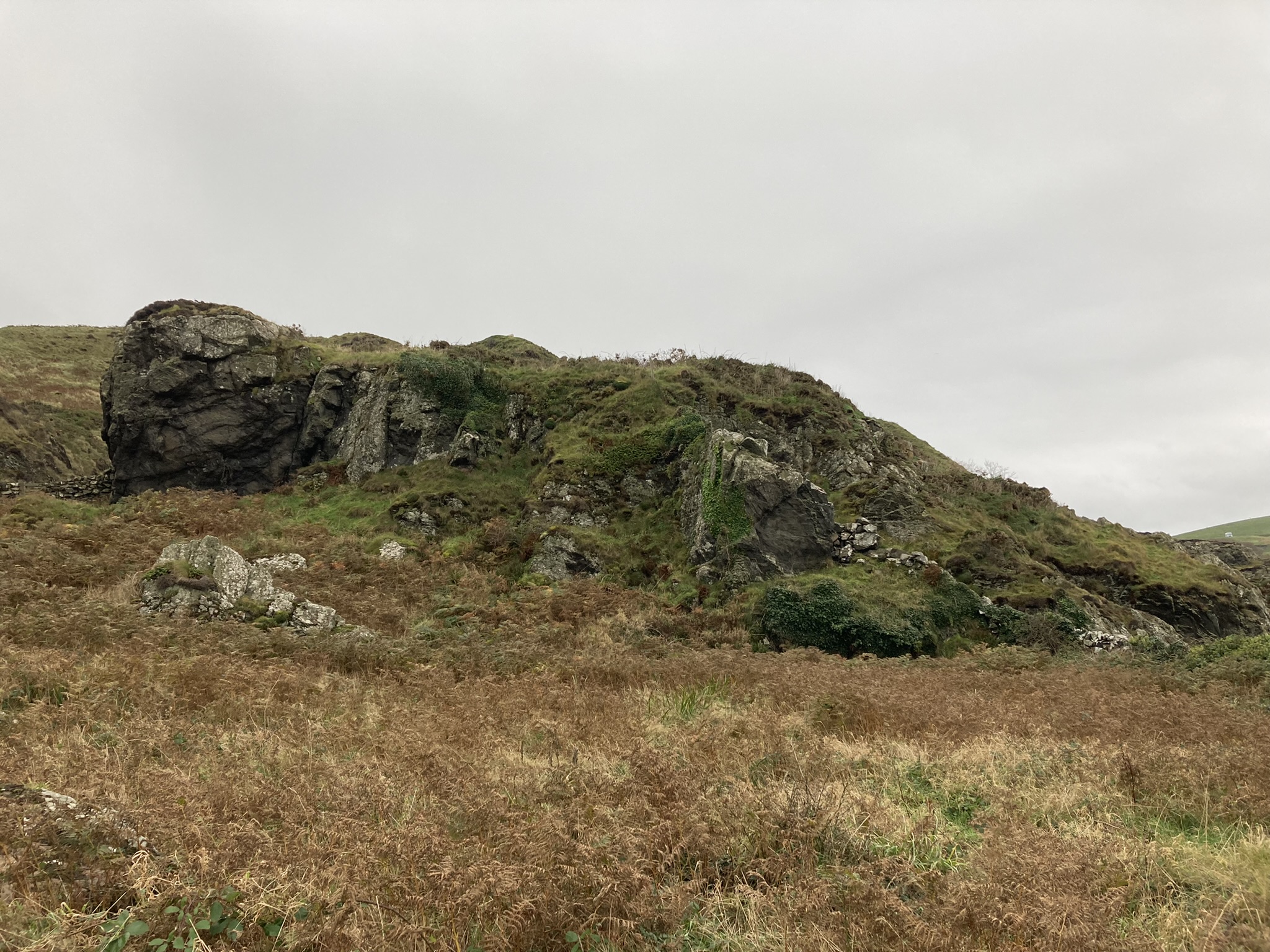
Howmoor Dun is built on a natural mound c. 2 miles NW of Maybole. The dun has an oval summit plateau measuring c. 30 yards E-W & 25 yards N-S. It rises c. 20 feet above the surrounding land. It is covered in rough grass over an uneven surface. There is an intermittent earth rampart c. 2 feet high round the perimeter of the plateau. The only substantial stone on the summit is in a trench on the SW Arc of the plateau. Canmore ID 40952 attributes this to stone-robbing. In the centre of the dun there is a circular hollow c. 20 feet in diameter and 1.5 feet deep. The dun is well protected with steep flanks on all sides. On the W flank there is an additional ditch and rampart defensive system.
Killantringan Bay Dun on OS Mapping
Directions to Killantringan Bay Dun: Take the B738 Leswalt right turn off the A77 c. 0.1 miles before Portpatrick. Stay on the road for c. 2.5 miles to reach Knock Farm ruin. Take the 2nd left turn as the 1st left turn is rutted. There is room to park up. The farm track is too rough to drive down. Follow my route on Killantringan Bay Dun N (go to Links).

Crammag Head Beacon viewed from E (19.11.07).

Killantringan Bay Dun viewed from SE.
Killantringan Bay Dun viewed from N.

Killantringan Bay Dun viewed from E.

Killantringan Bay Dun viewed from SE.

N Flank of Killantringan Bay Dun viewed from E.

E Flank of Killantringan Bay Dun viewed from E.

S Flank of Killantringan Bay Dun viewed from E.

W Flank of Killantringan Bay Dun viewed from W.

Possible Entrance in NW Corner of Killantringan Bay Dun.