


Close-up of the big outlier to the south-east of the circle with the Ridgeway in the far distance.

Cleared stones in the hedgerow of the adjacent field north-west of the ruined circle.

Cleared stones in the hedgerow of the adjacent field north-west of the ruined circle.

Cleared stones in the hedgerow of the adjacent field north-west of the ruined circle.

Cleared stones in the hedgerow of the adjacent field north-west of the ruined circle.
Despite some promising low spring sunshine when we set off, by the time we’d walked along Vize Lane from Broad Hinton, thick cloud had largely set in. The only thing that gives a hint of the site when viewed from a distance is the re-erected stone at the crossroad.
Only when you’re almost on top of them are you aware of the six recumbent stones in the field to your left. However, with the vegetation being still mostly leafless in this prolonged winter weather, if you look in the hedgerow to your right you’ll notice a pile of substantial sarsens that have been cleared from the surrounding fields. Now this begs the question of whether they’re (a) from the ruined circle to your south, (b) from a nearby barrow to the north-east (ploughed out, but visible on Google Maps) or (c) simply cleared natural stones from surrounding fields? As they’re easily as big as the stones within the incomplete circle, it makes you wonder why the circle wasn’t completely cleared at some point, as cultivation has been going on there for a very long time judging by the evidence of faint strip lynchets. Of course if this isn’t the ruined stone circle, as has been suggested, and that it was originally the other side of the Clyffe Pypard road, then it hardly matters at all about the provenance of the hedgerow stones!
Also worth having a good look at is the whopper of an outlier to the south-east of the circle. This stone is about the same size as the re-erected crossroads stone, but infinitely more interesting in shape. Shame they couldn’t have re-erected this one also or maybe they were worried about accidentally crushing the Alpacas that currently occupy the field.
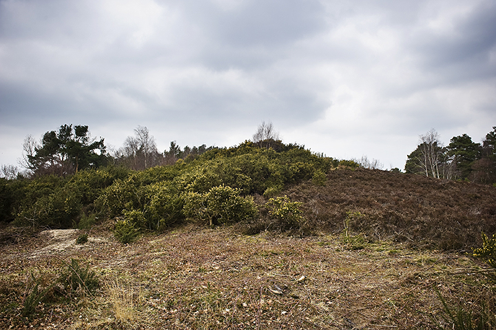
Much like Lord’s Piece a few miles further west this is one of those strange little heathlands that doesn’t quite fit in with the rest of the Sussex landscape, more New Forest with gorse, heather and pines, than rolling open downland. There were once probably large tracts of land similar to this dotted all along the bottom of the escarpment north of the South Downs, but gradually with the expansion of villages and agricultural clearance these spaces are now surrounded by the houses of the well-to-do, oblivious of what’s really on their doorstep.
Sullington Warren is not big by any means, probably less than a ¼ of a square mile, but the minute you enter it you have the feeling that it’s an ancient landscape. There are nine, possibly ten barrows in the vicinity, but it’s really quite difficult to make any of them out as they’re all hopelessly overgrown. There is one linear group of three, which is reasonably easy to see, and the rest are scattered randomly. Also you can’t quite work out whether they’re small barrows on top of ‘small hills’ or if the ‘small hills’ are in fact huge barrows! Intriguing. The other thing of note is a small cross dyke/boundary marker which runs roughly east-west and stands out quite well, but having looked at the site on Magic this isn’t shown so could actually be relatively modern.
A word of warning! There is a car parking space in Water Lane to the east of the site, but I made the mistake of parking in Heather Lane, which apparently is private and there was a snidey little note on my windscreen when I got back saying that my number plate had been noted by the local Neighbourhood Watch. Goodness, I’m quaking! Otherwise a nice place to wander.

Cross dyke/boundary marker running east-west with the southern barrow of the linear group in the background.

I think this is the most northern of the barrows in the cemetery.

The northern barrow of the linear group of three.

The most southerly of the three main barrows.


Panorama of almost the whole site looking north.

Looking south along the mighty cross dyke near the main entrance to the site.

A large but scruffy barrow next to the almost completed visitor centre. The double cross dyke is behind to the south-west.

Looking back west to the cross dykes.

Looking east along the cliff edge. How much has dropped into the sea in the last 10,000 years or so?

Behold the mighty Head!

Possible ditch/boundary marker just east of the Coastguard station near the top.

There are several barrows within the site and I believe this to be the biggest and at the highest point (which they thoughtfully wound the path around). Looking west.

Large flattened barrow looking east.

View from the top with Southbourne, Bournemouth, etc. in the distance to the left and the edge of Christchurch harbour on the right.

The end of the cross dyke at the southern end cut short by the modern path/entrance.

Looking north along the dykes.

Looking east across the huge and formidable double cross dykes to the Head.

Where the hell did I leave the Batmobile?

This is the rock near the carved chairs. Note the ‘cross’ shape in the midst of the cup marks. Is it a more recent addition?


The cup marks on this rock are just visible along that top edge.

The white bits on the left are snow from the night before.


The view from East Hill across Old Town Hastings to West Hill, another ancient site.

One of a series of small cross dykes or possibly a field system.

Undulations. Putting green or an ancient field system? The beacon just off centre in the distance stands on the faint remains of a Bronze Age barrow.

The end of the large dyke sits hidden in the undergrowth and indicates the eastern limit of the promontory fort.
East Hill dominates the Eastern side of Old Town Hastings and you are struck immediately by it’s impregnability as you walk beneath the sandstone cliffs to the south or climb the steep steps on it’s western flank. Though we were here for a day trip and hadn’t come prepared with maps or ideas of a long stroll along the cliff tops it was evident once we were up there that this hill had history. There are perceptible undulations here and there across the turf indicating possible cross dykes or cultivation strips, but these are over-run with flattened areas suggesting more recent use as a putting green. Towards the crest of the hill is a broadly rectangular enclosure that I wasn’t entirely sure about as it’s now devoted to barbecuing, but it’s in the right place and has an air of ancientness about it. Walking on Eastwards across the hill you get magnificent views of golden limestone cliffs towering defiantly over a churning English Channel and just as you begin to dip downwards you come across the biggest piece of evidence so far in the form of a huge dyke running North to the other side of the hill. It’s largely overgrown and quite difficult to make out but it seems to be a whopper and suggests that this is indeed an Iron Age promontory fort.
Further research at home also revealed that the modern beacon you pass near the top of the steps stands on what was probably a large Bronze Age barrow. This was reused for burials in Saxon times possibly by the towns earliest Saxon arrivals who gave the town its name. West Hill, which stands across the valley from Old Town Hastings, also has prehistory and was also used to build one of the original Norman Castles following the conquest.
East Hill, Hastings, East Sussex – A landscape survey and investigation.
PDF of 2007 English Heritage East Hill Survey Report.
I’m going to make a plea here for The South Downs Way to become a site in it’s own right on TMA much like The Ridgeway is. On New Years day Mrs Cane and I walked from the car park near Combe Hill enclosure along the final stretch of the SDW down to Beachy Head. Now I’ve walked this section before, but on that occasion it was dusk and though I realised there were barrows and cross dykes dotted along the escarpment overlooking Eastbourne, I didn’t quite appreciate just how many there were. In a low bright January sun you can pick out far more easily the sheer profusion of Bronze Age handiwork in the landscape as the walk progresses. I’ve divided the barrows up according to their most local names, as there is no overall place name for this area, unless you name it the ‘Eastbourne Escarpment’, or indeed, ‘The South Downs Way’. So starting in the north just south of The Combe Hill Neolithic enclosure we have Babylon Down, Bourne Hill, Foxholes Brow, Foxholes, Beachy Brow, Eastbourne Downs Golf Club (rubbish name I admit!) and Pashley. Indeed this is a regular barrow cemetery stretching about 4 miles with quite a variation in barrow type from quite large bowl barrows, disc barrows and even conjoined examples down to the barely visible ‘trampled into the track’ type. Three to four thousand years ago they must have presented quite a spectacle if you were looking up from the flood plain below at this great range of hills as it wound its way down to the sea to come to an abrupt end at Beachy Head. It’s interesting too, to speculate as to why there are so many here anyway. Perhaps because it’s a terminus to the South Downs and possibly a trading point for goods coming in and out of the country and therefore of quite high importance and with a large population? Maybe because water was sacred to our ancestors and the area beneath the escarpment was flooded for a great deal of the time? Or perhaps they were just setting a precedent, as Eastbourne in relatively modern times has been a place to retire to and die!

The first of many barrows you encounter after leaving the car park at Butts Lane and head south. Heading north west brings you to Combe Hill Neolithic enclosure.


