
A lonesome barrow on the ridge of the downs overlooking Compton Farm.
Image credit: A R Cane
A lonesome barrow on the ridge of the downs overlooking Compton Farm.

Climbing to the summit. There’s little evidence of any fortifications up here and, it seems to me, to have been more of a settlement than a fort.


Sarsen stone by the gateway leading up to Chillerton Down.

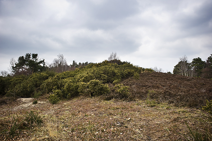
Hidden slightly by the bushes and trees with the TV mast behind.


Giving a vague indication of its height, about 3-3.5m, but little idea of its form. Known locally as ‘Five Barrows’, due to it’s undulations, but not to be confused with the better known Five Barrows cemetery (actually at least eight!) on Brook Down further west. Glad we’ve got that one sorted out.


The earthwork in it’s landscape abreast Chillerton Down.

Looking north-east with what might have been the original entrance and track to the left.

The view back towards the TV mast and relay station.

From the top of the barrow looking south-westish. It’s almost invisible behind the hedgerow shielded from speeding traffic on the road between Brading and Ashey Down.


The Longstone (just about visible bottom right) and the nearby round barrow (on the left horizon) in their landscape viewed from the Iron Age enclosure on nearby Castle Hill.

Looking south with the sea just visible behind to the left, now they’ve cut back some of the foliage that leads down to the holloway from the church.

The crossroads stone with the field containing the ruined circle behind. Vize Lane behind to the left.


Close-up of the big outlier to the south-east of the circle with the Ridgeway in the far distance.

Cleared stones in the hedgerow of the adjacent field north-west of the ruined circle.

Cleared stones in the hedgerow of the adjacent field north-west of the ruined circle.

Cleared stones in the hedgerow of the adjacent field north-west of the ruined circle.

Cleared stones in the hedgerow of the adjacent field north-west of the ruined circle.

Cross dyke/boundary marker running east-west with the southern barrow of the linear group in the background.

I think this is the most northern of the barrows in the cemetery.

The northern barrow of the linear group of three.

The most southerly of the three main barrows.


Panorama of almost the whole site looking north.

Looking south along the mighty cross dyke near the main entrance to the site.

A large but scruffy barrow next to the almost completed visitor centre. The double cross dyke is behind to the south-west.

Looking back west to the cross dykes.

Looking east along the cliff edge. How much has dropped into the sea in the last 10,000 years or so?

Behold the mighty Head!

Possible ditch/boundary marker just east of the Coastguard station near the top.

There are several barrows within the site and I believe this to be the biggest and at the highest point (which they thoughtfully wound the path around). Looking west.

Large flattened barrow looking east.

View from the top with Southbourne, Bournemouth, etc. in the distance to the left and the edge of Christchurch harbour on the right.

The end of the cross dyke at the southern end cut short by the modern path/entrance.

Looking north along the dykes.

Looking east across the huge and formidable double cross dykes to the Head.

Where the hell did I leave the Batmobile?

This is the rock near the carved chairs. Note the ‘cross’ shape in the midst of the cup marks. Is it a more recent addition?


The cup marks on this rock are just visible along that top edge.

The white bits on the left are snow from the night before.
