
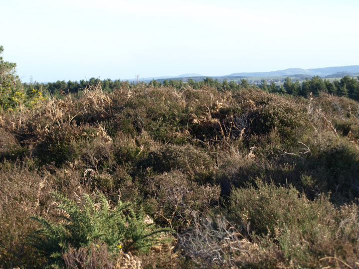
The barrow from the north west, in the foreground is a roman aqueduct, in the background is prince charles’ hideous housing estate.
Image credit: Mike Rowland 17/02/2008.

The barrow from the north west, in the foreground is a roman aqueduct, in the background is prince charles’ hideous housing estate.
This is a group of five barrows to the north east of Eggardon hillfort. Four of the five are loosely surrounding a large disc barrow, it has openings in the outer bank. Grinsell suggests it could be a form of henge or a disc barrow with some hengelike features. One of the round barrows impinges on the bank and is presumably later.
The southern most barrow has a trig point on it and is immediately east of the hillfort. Given that these sites are bronze age and in the case of the disc barrow/possible henge, neolithic they pre date the hillfort in it’s current form.

This round barrow is to the east of Eggardon.

The northern most barrow.

Medium sized bowl barrow north of the disc barrow.

The mound of the disc from the road.

This southwest of the disc barrow.

The bank and central mound of the disc barrow / henge.
There is a long, steep climb to get to this site whichever route you take. It is situated on sea cliffs between the river valley outlets of Branscombe Mouth and Weston Mouth. Also the cliff on which it sits falls sharply on the landward side. This would have been a very safe place to be for a short time, defending it would have been easy, attack a nightmare.
Sadly about half of it has already fallen into the sea and the erosion is carrying on all the time. It shows itself now as single a low bank and silted up ditch, used as grazing for cattle. The surrounding cliffs are a confusing mess of banks and ditches of old quarry sites.
This is worth a visit but you do need to be pretty fit (it nearly did for me) and I wouldn’t do it in the rain.

What appears to be a round barrow in the hillfort interior.


Looking towards the coast at the ditch and bank.

The dark line to the left of the photo is all that can now be seen of the long barrow.
I have now managed to take a picture of this barely visible site. It is north of the hillfort in a barrow cemetery of mixed types. The long barrow is very denuded by ploughing and can only be seen in certain light conditions. Grinsell thought it “a doubtful long barrow” English Heritage have done a geophysical survey and found ditches and a bank consistent with a long barrow.
Another ploughed round barrow north east of Little Bredy. Grinsell gives it the number 18 and said it was 30 feet across by 7 feet high, I very much doubt its that high now. There are other barrows in the vicinity and more will appear as I see them.

A low, probably ploughed barrow above the village of Little Bredy.
This single round barrow sits on top of Creech Barrow Hill. To the south east is Stone Hill Down long barrow.
The name incidentally means hill in three different languages :
Creech = cruic = celtic
Barrow = beorh = saxon
Hill = hille = norse.
Pendle hill in Lancashire is similar and there are others with names for hill in multiple languages or dialects.


Bindon Hill from above Durdle Door, the black line is the ditch and bank.
There appear to be three bowl barrows and a long barrow here. I could only see two and one of those had recently been heavily ploughed. The long barrow is below the ridge of the hill and could not be seen from the road.

A medium sized bowl barrow in good condition.


The long barrow from the north with the Hardy monument above it.

Three of the barrows, looking west.

The biggest and most easterly barrow.

The huge pond barrow in the foreground with the round barrow in the woods.

The bowl barrow in the woods.

The middle of three barrows in the field, in the background is a twin barrow and a single one.

The smallest, most westerly bowl barrow.
This is a nice set of five bowl and one very large pond barrow. The round barrows increase in size as you move east along the footpath. Three of them are in the field to the south of the wood. The barrow in the wood is to the immediate north of the pond barrow and appears to mirror it. This is the same as the pond barrow at Came Woods, is this a local thing or does this occur elsewhere?
To the immediate south of these barrows are another set of four which includes a double bowl barrow.
The pond barrow is 65 feet in diameter and 1 1/2 feet deep. The biggest bowl barrow is 30 feet across and 10 feet tall.

Part of the big wood group seen from the Sheep Down long barrow.
This group of barrows are to the east of the Poor Lot group. The Broad stone is just below them in the valley. Despite the name there appear to be five or six barrows in the group and are sited on the false crest of a hill. They vary in size and appear to be in reasonable condition, this area abounds with barrows of all kinds.
Below the ridge can be seen the bank of a pond barrow close to the A35.

The biggest round barrow in the main group.

This is a rare pond barrow below the main group near the road.
L.V.Grinsell says this is a very large round barrow, 100 feet in diameter and 7 1/2 feet in height. He also says it has a peristalith in good condition. The Devon / Somerset border appears to pass through it. It appears to be part of large cemetary group. I will be visiting this and other barrows in the area soon, photos and fieldnotes to follow.
English Heritage Pastscape entry.
There are images of this included in the entry for the Dorset Cursus (north to Martin’s down) but I think it deserves an entry of its own. I can understand why its used as there is nothing to see of the cursus end, having been totally ploughed out.
I have asked the question before as to whether this is a bank barrow, although marked as two long barrows on O.S. maps. I thought the similarity between this and Long Bredy bank barrow could give it the classification of bank barrow.
Having done some further reading / internet searching it seems I am not alone in considering it so. R.C.H.M.E. do list it as separate barrows, it is listed as Pentridge 21 and 22 but do question the separateness of the two. They also include it as a bank barrow in their Monument Class Descriptions listing.
Grinsell denotes it as Pentridge IIa/b, possibly hedging his bets. R. Loveday in “Inscribed across the land” includes it in his list of bank barrows. He gives the dimensions as 149m. in length and 20m in width. He does say that it was lengthened, as were both Maiden Castle (twice) and Long Bredy.

This huge, possible bank barrow is very close to where the north east terminus of the cursus should be.

The southern section of the barrow.

The centre and northern end of the barrow.

The northern end of the barrow.
To the north of Blacknoll hill, I could see two small round barrows covered with gorse and bracken. To the northwest the large bell barrow Old Knowle and its smaller neighbour can be seen on the summit of their hill.
The second of two very small, scruffy barrows on Whitcombe hill.

One of two small round barrows.

Grimstone Down from Penn hill.
There are two rather low small round barrows close to the O.S. trig marker on the brow of this hill. From here Blacknoll hill can be seen to the north.
A medium sized bowl barrow north of Whitcombe Vale and Blacknoll. There are a scattering of barrows in this area which may be a large cemetery. Some are on high ground and others are on the flats in between.
Six bowl barrows on top of a hill on the Dorset heathland. The largest of the barrows, the most westerly has an O.S. trig point on it. The most easterly is of a similar size and the two in between are smaller. All are in reasonable condition, it looks like a recent fire has burnt off the gorse and bracken which usually covers these barrows. There are some single outlying barrows very close to the set of four, lower and to the west. The four barrows are in the shadow of Winfrith nuclear reactor.

Two small, low barrows near a trig point.

A medium sized bowl barrow in a field of sheep.