


More to come when I find me USB lead...

Map of the area, larger scale available here img.photobucket.com/albums/v239/slumpy_uk/coldrum%20stones/bennetareamapsmall.jpg

Larger scale plan here img.photobucket.com/albums/v239/slumpy_uk/coldrum%20stones/bennetpland.jpg

Edison W Filkins’ plan for FJ Bennet, 1910.
Large scale plan at img.photobucket.com/albums/v239/slumpy_uk/coldrum%20stones/bennetplanc.jpg

A buried kerbstone under the road on the west side of the barrow, exposed to the elements for the first time in several hundred years. To the east and under the stone is a very deep hollow.


Looking ENE from the last of the placed ‘kerbstones’ towards the WHS, rubbish everywhere.

Looking WSW, along the ‘kerbstones’, past the ashes, beercans, and rotting meat. I climbed over bombsites in the 60s that were better kept than this sorry remnant.

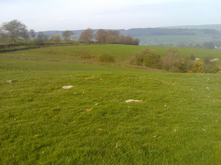
Looking across the top of the White Horse Stone at the site of the barrow, which would have been just on the crest of the cultivated field, running left-right, the left, distal end, being around in line with the house just left of centre.


Kerbstones discarded in woodland at the foot of the hill.

Kerbstones discarded in woodland at the foot of the hill.

Kerbstone discarded in woodland at the foot of the hill.


A similar view to the b&w photo, taken 24th March 07. Note the air pollution...

Taken c1907, looking east. Interesting to see the chalky fields awaiting a dressing of topsoil, and the orchards beyond, now ploughed out and flat.
Perfect companion to this one themodernantiquarian.com/post/6074

A Map of Chartham Downs from an engraving by William Barlow in Edward Hastead’s The History and Topographical Survey of Kent. Published in 12 Volumes. 1797-1801.
This shows considerably more barrows than exist nowadays, though it looks mighty fanciful to me!

The inner wall of the chamber on the north west side – deliberately chosen so the concave faces of the stone were innermost, matching the others in the chamber.

The same polishing patch before I washed the chalk scuffmarks off. As smooth as a baby’s bottom, but a little bit colder...

Another stone with a distinct polishing patch on it. The sarsen around Trottiscliffe often has brown patches, almost like a thick glaze or varnish [the eatern edge of the uprights have patches] and this has been made into a polishing patch.


From 1892, done by Major Green at the behest of George Payne.


Sketch plan from “Ightham, Story of a Kentish Village”, 1907

Sketch plan from “Ightham, Story of a Kentish Village”, 1907

Sketch plan from “Ightham, Story of a Kentish Village”, 1907

Sketch plan from “Ightham, Story of a Kentish Village”, 1907

Sketch plan from “Ightham, Story of a Kentish Village”, 1907


Looking north-west, Kit’s Coty marked as “A”.

“Nearly due south of Kit’s Cotty-house, at the distance of about 500 yards, is another monument of the same class, popularly known as the Countless Stones, but so ruined-apparently by searchers after treasure that its plan cannot now be made out. In Stukeley’s time, however, it was more perfect, and as his pencil is always more to be trusted than his pen, it may be worth while to reproduce his drawings, (Iter Curiosurn p. xxxii.) for the arrangement of the stones was peculiar, but may have analogies elsewhere.”
From “RUDE STONE MONUMENTS IN ALL COUNTRIES; THEIR AGE AND USES” BY JAMES FERGUSSON, D. C. L., F. R. S, V.P.R.A.S., F.R.I.B.A., &c

“Arbor Low consists of a circular platform, 167 feet in diameter, surrounded by a ditch 18 feet broad at bottom, the earth taken from which has been used to form a rampart about 15 feet to 18 feet high, and measuring about 820 feet in circumference on the top. (These dimensions as well as the plan are taken from Sir Gardner Wilkinson’s paper in the ’ Journal of the Archaeological
Association,’ xvi. P. 116, and may consequently be thoroughly depended upon.) The first thing that strikes us on looking at the plan is that, in design and general dimensions, the monument is identical with that called “Arthur’s Round Table,” at Penrith. The one difference is that, in this instance, the section of the ditch, and consequently that of the rampart, have been increased at the expense of the berm; but the arrangements of both are the same, and so are the internal and external dimensions. At Arbor Low there are two entrances across the ditch, as there was in the Cumberland and Dumfriesshire examples. As mentioned above, only one is now visible there, the other having been obliterated by the road, but the two circles are in other respects so similar as to leave very little doubt as to their true features.
The Derbyshire example, however, possesses, in addition to its earthworks, a circle of stones on its inner platform, originally probably forty or fifty in number; but all now prostrate except perhaps some of the smallest, which, being nearly cubical, may still be in situ. In the centre of the platform, also, are several very large stones, which evidently formed part of a central dolmen.”
From [i]“RUDE STONE MONUMENTS IN ALL COUNTRIES; THEIR AGE AND USES”[/i] BY JAMES FERGUSSON, D. C. L., F. R. S, V.P.R.A.S., F.R.I.B.A., &c

Two more sarsens south of Coldrum. The larger stone, seen here looking end-on, is over 6’ long, around 4’ wide and up to 2’ thick. Beside it is a smaller stone, half-buried, with a yellow tint to it.

With reference to this post [themodernantiquarian.com/post/55693] which mentions the sarsen stone avenue between Addington/Coldrum and Kits Coty, this beautiful weathered one lies 200m South of Coldrum just off the path. 6’+ long, 4’ wide and a foot thick. Not laying flat, just could have been pushed over at some stage.


The ‘inner’ edge of this stone was used for axe-sharpening at some point. There is a smooth 6” near circle centre of pic.
If used in prehistoric times, this would mean the stone stood on it’s outer edge.

As long as your arm, you can reach in and out of the stone again. Makes me think the stone was pushed in as the mound was removed rather than toppled outwards.
