NUI Galway archaeologist Andrew Whitefield disputes age of ancient north Mayo site.
ryaner


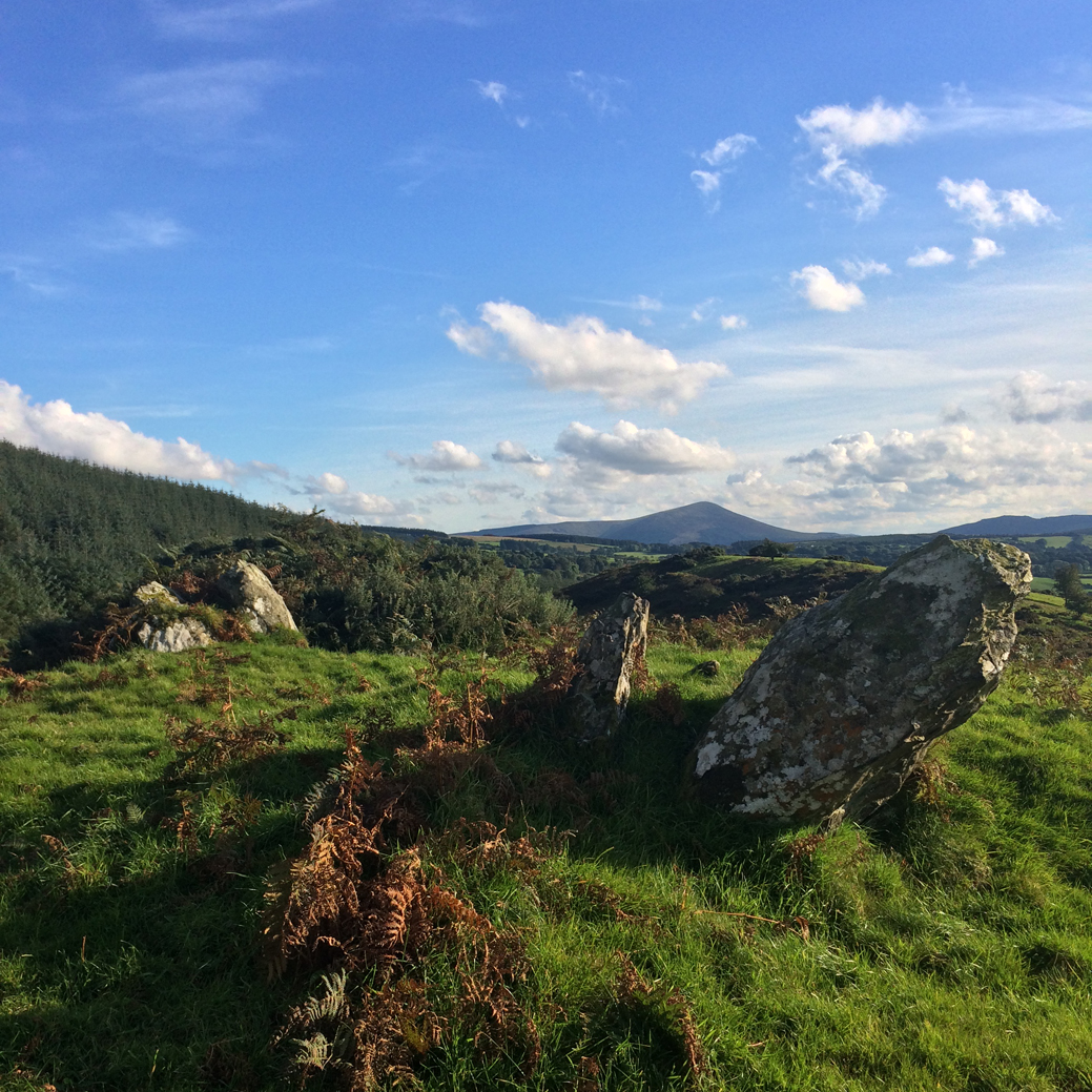
Fantastic stone just off the N81 to Donard road
Image credit: ryaner


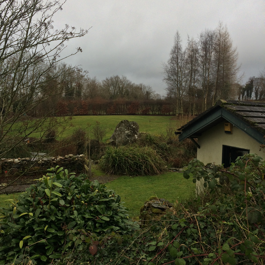
Unmarked on the OS map, a barely standing stone in Blackmoor
Image credit: ryaner


Herity lists (the remains of ) 4 passage tombs in this area/townland, Me 67, Me 68 (the primary site here), Me 69 & Me 70 in his national numbering system. Me 67 is Gormanstown TD 1 and is supposedly the tomb on the clifftop above the beach, the site called Gormanston Beach here in the County Meath section. To further complicate and confuse things, he also uses 2 alternative names: Knockingen or Knocknagen for Me 67/Gormanstown TD 1. The use of TD 1, TD 2 etc. is a device he uses where there are groups of passage tombs in a given county, so-called passage grave cemeteries. Gormanstown is called Gormanston here and in the Archaeological Inventory of County Meath.
His entries in the Inventory section of the book are worth reproducing in full.
Me 67
GORMANSTOWN TD 1
Knockingen or Knocknagen
Sheet 28
A memorandum from G.A. Hamilton giving details of this tomb was read at the Royal Irish Academy in 1846. The mound was on the edge of the sea-cliff near Knockingen or Knocknagen on the north side of the mouth of the Delvin river. Part of the mound had already been washed away by the sea and on the beach below were several immense stones apparently fallen from above. Hamilton noted ‘a considerable number of similar stones’, on the beach 100m to seaward.
Excavations were carried out with the consent of Lord Gormanston, the landlord. The mound was made up of small round stones or shingle from the shore. A circle of large stones similar to those lying on the shore were found buried in the sand and shingle at some distance from the centre of the mound. ‘Within this outer circle of stones we found, on what appeared to have been a floor of beaten clay, a large quantity of burnt human bones, apparently of persons of different ages: we found amongst them the bones of very young children. In the centre of the circle was a chamber constructed of immense flags, some of them more than 1.8m in height; and within this a rude stone basin, or rather a large stone of sandstone grit, with a cavity or hollow formed in it.’ This basin bore ‘evident marks of fire’, and had a quantity of charcoal and burnt bones surrounding it. ‘Amongst these bones we found some beads, made of polished stone, in shape conical, with a hole through each, near the apex of the cone.‘
The mound described here appears to be the one of which the last remnants are now falling over the cliff. Its stones were used in the construction of the railway. It is marked as a complete tumulus in the 1837 edition of the OS Six-Inch map. The ‘outer circle of stones’ surrounding a floor of beaten clay at Knockingen may be an inner kerb like those noted at Carrowkeel and Carrowmore. The cremated remains found inside this circle but outside the chamber are in an unusual position, though the burials outside the chamber walls at Tara may be a parallel. The ‘beads’ described appear to be passage grave pendants. D’Alton mentions that many of the stones of the tomb were used in the building of the railway nearby.
Hamilton 1846, 251; D’Alton 1884, vol. I, cxxvii.
Me 68
Gormanstown Td. 2
Sheet 28
A much larger mound, 25m in diameter, the centre of which has been dug away revealing what appear to be a number of chamber-stones, stands 150m west of Tomb I on a rise in the ground near the main road.
Me 69
Gormanstown Td. 3
Sheet 28
About 100m due east of Tomb I, a jumble of boulders about 15m across can be seen on the beach at low water. There are no other such concentrations of large stones on the beach except at No. 4, described below. It can be suggested, as Hamilton does, that these are the remains of a passage grave, the kerb and other large stones of which have tumbled on to the beach in the course of erosion. The lack of any recognisable plan suggests they rolled down at intervals from a significant height.
Me 70
Gormanstown Td. 4
Sheet 28
Due north of Tomb 3, also on the beach, a circle of boulders 15m across and a number of others inside which can be seen at low water give a rough impression of the kerb and chamber of a passage grave. Their position suggets that they did not fall from a great height.
Irish Passage Graves – Neolithic tomb-builders in Ireland and Britain 2500 B.C.
Irish University Press, Dublin, Ireland, 1974 Michael Herity

Over the destroyed chamber towards remaining kerbing on the eastern arc of the tomb.
Image credit: ryaner

Much denuded tomb, with the remains of presumed chamber.
Image credit: ryaner

Have looked at this from the road a few times. Took the plunge today. Disappointing.
Image credit: ryaner

Most of this is briars and brambles from this summer’s growth.
Image credit: ryaner

I couldn’t have a rummage here due to briars and brambles. Pity really because it may not last much longer.
Image credit: ryaner

The main mound, with the Dowth-like gouge taken out of its centre and top.
Image credit: ryaner

The two south-east mounds from the top of the main mound.
Image credit: ryaner
From the Archaeological Inventory of County Meath:
Only a small segment survives of the mound at edge of sea cliff. The nineteenth-century excavation produced a typical assemblage of passage-tomb artifacts. (Herity 1974, 252)
From the Archaeological Inventory of County Meath:
Some 150m from monument on the coast (ME028-021----) are remains of a much denuded kerbed cairn, 37m in diam. and averaging c. 1m high. Listed as passage tomb. (Herity 1974, 252)
From Glenasmole Roads, by Patrick Healy, published by South Dublin Libraries (copyright 2006 Local Studies Section South Dublin Libraries)
The Shed Stone
The Dodder flows along the eastern boundary of the demesne where it is joined by a small stream coming down from the Featherbed Bog. On the northern bank of this stream, at a point 300 yards up from the Dodder, is a large rock raised up on three smaller ones, known locally as the Shed Stone and said to mark the position of buried treasure. (MacNeill and Dix. “Dolmen at Glenasmole”, J.R.S.A.I. 1926, p. 122-123) Although this has the general appearance of a prehistoric dolmen or portal tomb, it is obvious on close examination that the supporting stones are actually three pieces of one stone which must have been split by the weight of the larger one above. These fragments are not placed to form a chamber or enclosure which is one of the chief characteristics of a prehistoric burial place. It would appear therefore that the unusual arrangement of these stones is entirely fortuitous. The height is about 4 feet.
An ancient hill fort dubbed “one of the jewels in the crown” of the South Downs National Park has been damaged, police have said.
Illegal metal detecting is believed to be behind the disturbance to the ground at the 5,000-year-old Cissbury Ring site near Worthing in West Sussex.
More: telegraph.co.uk/news/2016/11/25/illegal-treasure-hunters-damage-ancient-hill-fort-south-downs/

Sitting partially exposed in the hollow of the strange mound behind the Hellfire Club, a dark lump of igneous rock served as a handy border to many bonfires over the centuries. However, those who enjoyed the warmth of the fire while lying up against the comfortably curved bank of the mound may not have realised that the mound they rested upon was the remains of an ancient tomb, and that plain looking dark stone was carved with symbols and designs that are over 5,000 years old.
The discovery of the artwork was the result of incredible serendipity. The surface of the stone has been damaged by fires and weathering, so the artwork is almost completely imperceptible to the naked eye. Had we dug our trenches anywhere else on site we would not have discovered it, and had we excavated during the summer, the higher flatter sunlight may not have revealed the faint trace of the artwork.
As the stone was sitting in a disturbed modern layer of material relating to picnics and parties, it was outside of its original context. We removed it quite early in the dig, though due to the many fires that had been lit upon it, it fractured into four large fragments as we began to lift it from the trench. As we did not originally notice anything particularly unusual about the stone, we (with some difficulty) lifted it out of the trench and set it on the side, so it would be close at hand for when we began to backfill the trenches.
More here: abartaheritage.ie/megalithic-art-discovered-at-the-hellfire-club/

Faint remains of the obliterated, smaller 2nd tomb.
Image credit: ryaner


The northern end of the north/south trench, where you would hope to find evidence of a chamber. Very hard to make anything out. Some large, mixed stones in the foreground here presumably from the centre of the mound. There are a couple of sockets in the trench, but these don’t look original to my untrained, amateur eyes.
Image credit: ryaner

Closer look at the exposed stone and the layers in the trench.
Image credit: ryaner

It was busy up there today. The north/south trench cuts through the ‘bank’, a false feature left by the robbing of the core of the mound. a large, possible kerb stone has been exposed bottom right. Dublin Bay in the distance.
Image credit: ryaner

East/west(ish) trench with lots of cairn material looking a bit like cobble stones.
Image credit: ryaner

It was a windy night Saturday. There’s also pools of rainwater in the north/south trench, especially at the southern, outside end.
Image credit: ryaner
“Local tradition says that should you walk through the crack in the rock three times, the rock will close on you.”
A mile and a half east of Easkey, in west County Sligo, you will see, in a field on the side of the road, the Split Rock of Easkey, known in mythological circles as Fionn’s Stone. A huge boulder which has been split into two halves.
The Hellfire Club Archaeological Project will take place during the month of October [2016]. The excavation aims to help to uncover the story of Mountpelier Hill, where can find the famous ruins known as the Hellfire Club. The excavation will be led by Neil Jackman of Abarta Heritage, with an experienced team of archaeologists alongside volunteers from University College Dublin. The project is supported by South Dublin County Council, Coillte and Abarta Heritage, with kind support from University College Dublin, the Discovery Programme, the National Monuments Service and National Museum of Ireland.


One of the chamber stones from the track to the east.
Image credit: ryaner
Nearly a century ago, the last 36 residents were evacuated from the most remote part of the British Isles, St Kilda, an isolated archipelago off the beautiful and rugged western coast of Scotland.
After 86 years, the music of St Kilda has been discovered, recorded in a Scottish care home by Trevor Morrison, an elderly man who was taught piano by an inhabitant of St Kilda. Heard by the outside world for the first time these haunting melodies offer a last link to the so-called ‘island on the edge of the world’.
Welcome to the incredible story of the lost songs of St Kilda.

The mound is quite large – this is a kerbstone at the north side of the monument, LM stands on the chamber capstone.
Image credit: Ryaner

Quite a few contiguous kerbstones at the back of the mound.
Image credit: ryaner

