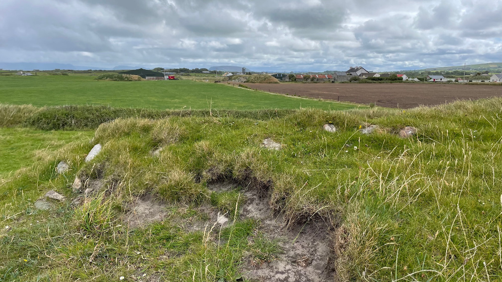
“Though the monument is very ruined the remains are sufficient to indicate with reasonable certainty that it was a court-tomb.”
from the Survey of the Megalithic Tombs of Ireland, Volume V, County Sligo by Seán Ó Nualláin
Image credit: ryaner

“Though the monument is very ruined the remains are sufficient to indicate with reasonable certainty that it was a court-tomb.”
from the Survey of the Megalithic Tombs of Ireland, Volume V, County Sligo by Seán Ó Nualláin

The southern side of the tomb – there may be more incorporated into the fence and wall.

South side of the tomb, a giant’s grave according to the landowner.


Along the gallery towards the rear of the monument.

The fallen roofstone covers a small portico. There’s no way to have a look at the entrance with all the growth.

The entrance roofstone/lintel has fallen from the gallery jambstones.

Displaced roofstone (?) at the south-east corner of the gallery.

The northern side of the gallery.

From the back of the tomb, looking south-west along the gallery.


Approaching from the east, doesn’t look too hopeful from this angle.


West Sligo held quite a few disappointments – this was one of them.

Front on at the two large facade stones, the largest of the whole tomb in fact.


There’s quite a substantial portal dolmen in there under the capstone.
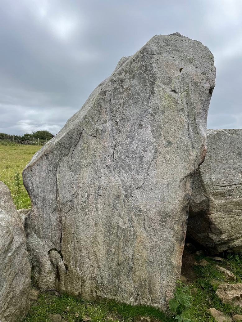

From the rear – the stones in the foreground are not in situ and could be field clearance.


With my back to the doorstone/sillstone, looking out the entrance.

Looking out, eastwards over the front chambers towards the ruined court.

Segmenting jambs and doorstone/sillstone make this look very port-tomb-like.


A three metre tall, roadside standing stone on the road from Ardara to Kilclooney, just to the south of the Owenea river. A ruined farmhouse stops you spotting it as you travel north to Kilclooney, but glance over your shoulder just before the bridge and it’s unmissable. A large, hefty block of a stone, wonderful and strong and towering, slightly tilting to the west. I wondered how it could have survived standing all these years, and how much of it was below ground.
The Construction of a Bronze Age Longhouse Model in Dwelling-byre Style using Experimental Archaeological Techniques
An almost urban monument, about a kilometre above busy Killybegs harbour. Tucked in under a thorn tree at the bottom of a long driveway. It’s really quite impressive, though low and squat, and it has its own fógra. The modern driveway almost truncates the front of the tomb. The Survey says that this driveway “… is a raised trackway, now disused.” Well, seems like things have changed since publication 20 years ago. No matter – the landowners arrived while we were there and paid us no heed.
Typically aligned WSW-ENE, with the entrance at the west, a displaced septal slab now blocks any view into the chamber from here. The northern side is all grass-covered cairn material, as is most of the southern side, except a gap at the western end which gives a view into the 3 metre long chamber. A single roofstone covers most of this and affords a handy shelter to any small furry creatures in need. I once disturbed a tiny resting fawn along the banks of the Glendassan river while on a bullaun hunt, startling both him and me to the extent that I’m overly cautious now when exploring secluded sites. I needn’t have worried here, though I never got in far enough to be 100% sure.
I think this is a wedge tomb. This despite the lack of any sort of double-walling. Or any ante-chamber or portico. But no worries. I can go with Portal tomb (?), as in the Survey of the Megalithic Tombs of Ireland, Volume VI, County Donegal. It just doesn’t feel like a portal tomb. Especially in the shadow (or in the light) of what lies a kilometre to the north-east. But then again it might be neither
That said, this is a fine little monument. It’s environment has changed since the publication of the Survey (2002, but the photo may be from well before that) and indeed from Bogman’s visit 11 years ago. It’s in semi-bogland, occasionally used for cattle, about 250 metres north of a small boreen off the Ardara to Kilclooney road.
A single, quite delicate, granite capstone/roofstone covers a small chamber almost 1.5 metres square. It’s set into a mound that rises maybe half a metre above the surrounding terrain. It’s possible that the chamber floor is deeper than these dimensions suggest but I didn’t check, the brambles and other growth discouraging inspection. The gabled backstone is a noticeable attraction and the whole monument offers a serene piece of megalithic charm.

A kilometre south-west of Dunkineely is this mighty fine stone pair. Situated in someone’s garden (if it’s yours, I knocked on your door and got no reply), it’s aligned ESE-WNW, the southern stone 2.3 metres tall, the northern 1.9. It’s situated on the neck of land at the top of the long and thin peninsula that leads down to Saint John’s Point, 8 kms to the south-west. There are fine views west towards Slieve League.
The site from whence the townland gets its name (presumably, as there’s another cairn nearby), about 5 kilometres east of Dungiven and by the side of the road. It’s in a large, narrow, sloping pasture and is quite a presence, though secondary in most of the popular literature in comparison to the denuded Boviel 800 metres north of here. The views south into the Glenshane Valley are fantastic, with the Sperrins brooding beyond in the distance.
This is an example of an almost complete wedge tomb, yet to be plundered, its chamber probably still covered. The facade, facing south-west, and some of the kerbstones are visible, and there seems to be some clearance dumped on top. The road above, the fast-moving and unforgiving A6 main Derry to Belfast road, is hidden from view and you could while away some time here, the sheep timid enough.

The main chamber would make quite a neat hideaway – I always approach these sepulchres with caution for fear of disturbing a furry resident.


The massive roofstone covers much of the main chamber – the southern walling is missing.