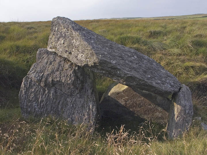
I visited this amazing site on a freakishly hot day in mid July. What a location! Probably the most impressive views from a tomb that I’ve seen.
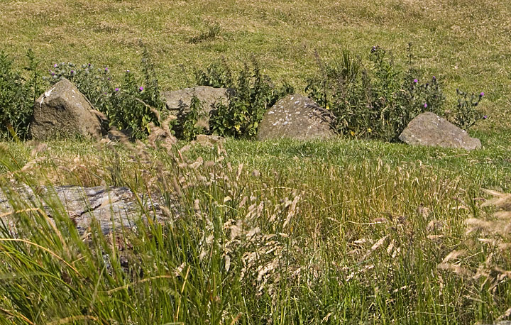
Unfortunately the tomb itself has seen better days, with only a few of the court stones still standing. The tomb is facing NE, and the court is about 6m wide, with the gallery stretching 9m to the SW. The cairn sits on top of a natural rise, and some of the kerb is still visible, dotted around the site. It seems to be about 11m wide, but its hard to be certain.
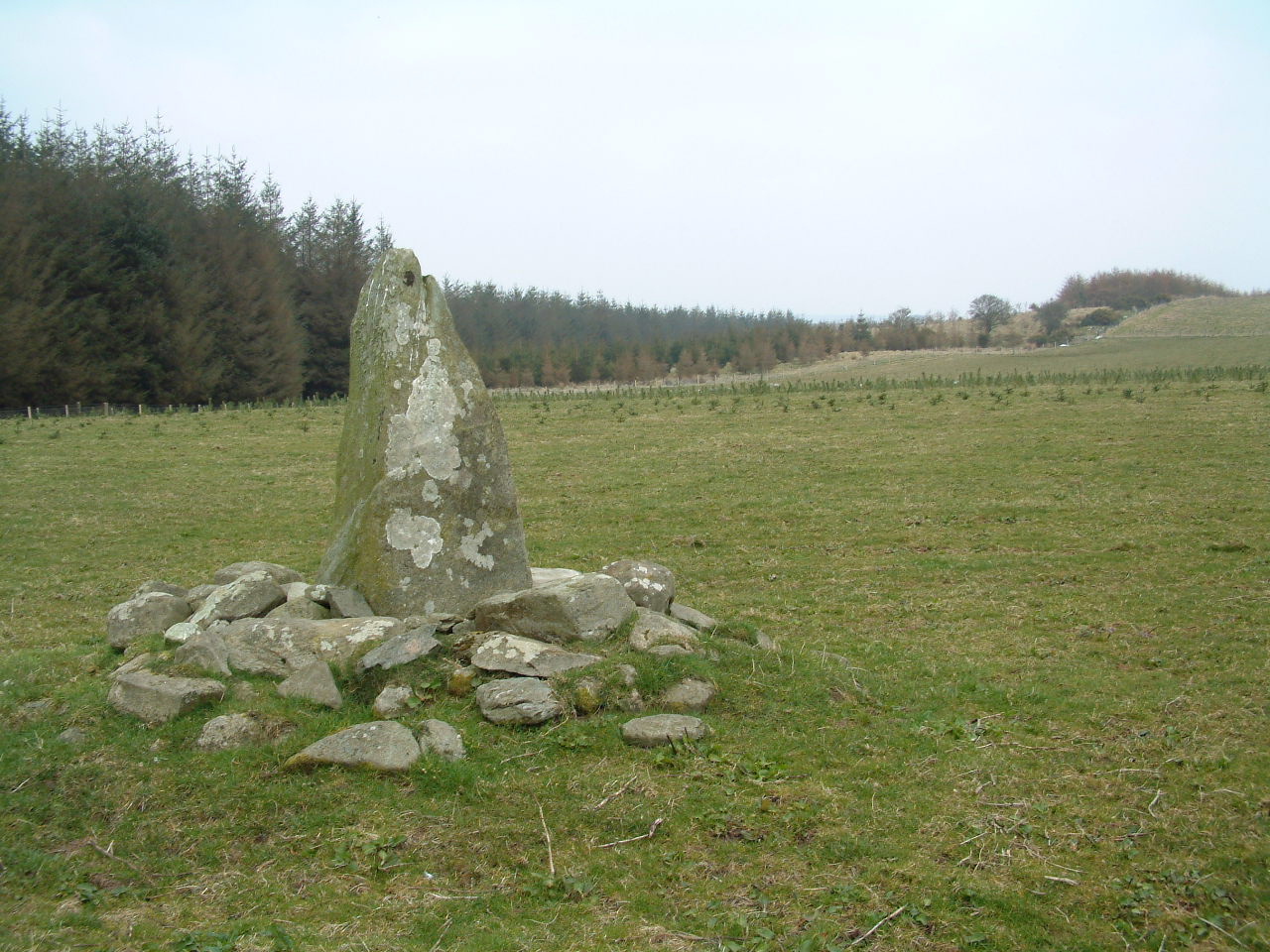
From around the site, I could see the Crannog at lough na crannagh, another little ruined wedge tomb, and with binoculars, several other tombs marked on the OS. a fun day indeed.
The site is marked on the OS map, and is about 2km NW of the top carpark at Murlough Bay, which is probably the easiest way to get to it, over pretty rough bog, past Lough Fadden and with no real paths, so be careful. Once at the site, the views are astonishing, and make up for the hike.


