


The base of the two slabs. They approach but don’t converge at ground level.

The inner side of the northern slab.

The inner side of the southern slab.

Carrigfadda and the western Argideen valley. Map of megalithic sites listed in the Archaeological Inventory of Cork, 1992.

Looking over the rock, in the direction in which the panel faces.


Looking south at the full body of the rock.

The lower portion of the rock, looking south.

A closer view of the lattice-shaped marking.
Looking westsouthwest through the portals(?).

The northern upright now rests on the straight-edged slab to the right of the picture.


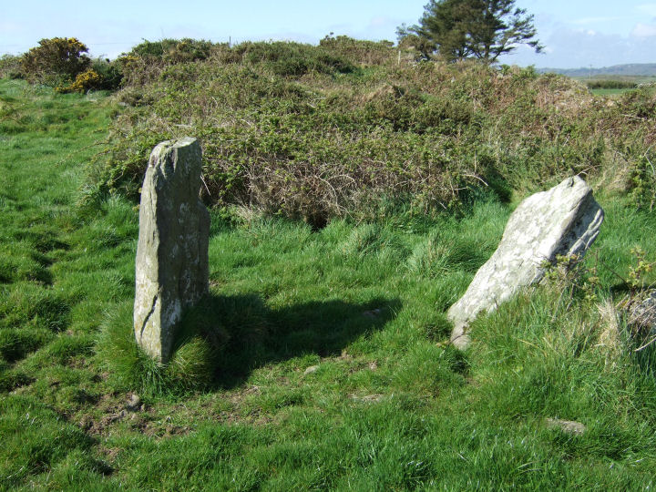
The parallel-set stones viewed from the northeast.

The northen side of the stone pair. The clump of ivy marks the top of the tall western stone.

Looking east along the field-wall.

The northern face of the upright stone.

A view south from the fence that contains the stone pair, but taken a short distance to the east of its location.

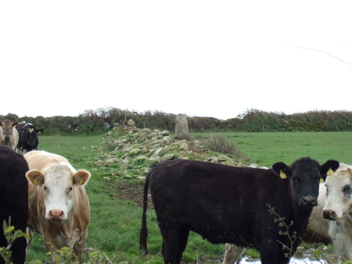
The ringfort sits to the south of the standing stone.

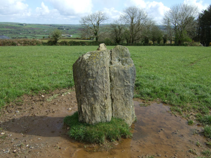
Looking NE along the long axis of the standing stone. Carrigfadda is the hill in the background.

The notched top of the stone that sits flush against the northern side of the standing stone.


Looking back up from the drop to the southwest.


The standing stone to the southwest is not in line with the pair, but does sit nicely in the broadest profile of the notch on the southwesterly stone, if you stand behind it. Probably coincidental.
The stone that stands a couple of fields to the southwest.

The axial stone and the next circle stone to the north.


A good illustration, taken from the hill behind, of the raised location of the circle within its landscape.

Carrigfadda dominates the skyline to the northeast.

The eastern horizon; from Carrigfadda to the peak of Corran hill.

Useful co-pilot provides an indication of the great height of this monument.

The tomb interior, with doorstone to the left and backstone to the right. The underside of the secondary capstone is visible at the top of the picture.

“The thing’s hollow... it goes on forever... and... oh... my God... it’s full of stars!”


Looking Northeast, along the axis line of the upright pillar, towards Carrigfadda. Cloud-cover has obscured the mountain.

Looking Southeast along the length of the prostrate stone. The cup marks, judging by Roberts’ sketch, should be somewhere under the bush at the rear.

The axial stone, shown here in external view, has an inward sloping top surface and a bevel at the northern end. Take my word for it.

Looking NW. The position of the stones may be slightly off the original placement.

The partially re-erected northern stone.
