

The large quartz block supports the southeastern side of the cap.

The Way Stones. That which marks the border between Earth and the Absolute must draw something of each.

The likely line to the horizon if, as seems probable, the axial stone has been displaced.


The line to the horizon if the axial is in its original position.

Looking down at the monument from the higher ground to the northwest.

The ‘internal’ view of the blade-like, free, upright stone.

The axial stone has an internal and external shelf.

A close-up of the external ledge on the top of the axial stone.

Looking across the circle in an easterly direction. The external ledge is visible on top of the axial stone.

Looking East. The stone underneath, at the left hand corner, is not a support. The stone immediately behind is.


The nearby “megalithic structure” at Gortnascarty, looking NW to Kilkerranmore graveyard. The ruins of the old church are visible to the rear.

Looking back east across the valley to the circle, from Burgatia hill. Thanks to the owner of the house, just above the left-hand side of the axial in the next picture, who let me stand in her garden.

Looking over the axial, from just east of the portals.

The south-facing side of the boulder. The weight rests on the centrally placed stone, its partner on the north-facing side and a smaller slab resting on a mound of stones, at the right-hand side of the picture/northeastern end.

Looking diagonally across the boulder, to the south.

Looking along the boulder in a southwesterly direction.


A closer shot of the southernmost cupmarks.

Looking East into the remains of the gallery. The northward lean of the slabs is very apparent from this angle.
Looking South. The remaining northern slab is on the left, the two southern stones behind and to the right.

Looking North at the outsides of the southern slabs.

Looking slightly south of west, on an estimated tomb axis-line. The four-poster at Lettergorman N is located somewhere behind those hedges north of the hill at Kippagh.

The smaller stones tucked tightly between the two side-slabs. The quartz end of the nearest one faces west, towards the camera.

The block at the inside base of the southernmost side-stone.

The standing stone, taken from the old trackway.


The smooth, tidy eastern stone is reminiscent of the remaining pillar at Carrigagrenane N.

The wonderful colour mixture on the northern face of the middle stone. The two fresh looking boulders alongside are field clearance.

This pillar when erect would have stood a similar height to the tallest stone at Knockawaddra (2.9m). It is 3.55m long and 1.2m wide. (Dimensions taken from Archaeological Inventory of Cork)

The mysterious additional stone, jutting out of the nettles to the left of the prostrate western pillar.

On the western horizon, the Carrigfadda group presents a similar horned layout to the view from Caherkirky, to the north.


The axial stone – flat, horizontal top that slopes steeply inwards and the common diagonal tail-off on the northern side.

The sheer, flattened top of the stone south of the axial – covered in a pinkish quartz that catches the southern swing of the sun. A very helpful lean outwards, presumably not an original feature, accentuates the effect.

Others find long-hidden panels of rock art; circles, rings, cups and spirals. It is my fate to reveal modernish abbreviations. Neatly done this time though, in fairness. The top of the second stone north of the axial – who or what is SED?

Looking southwest towards the circle from the possible boulder-burial.

The ‘possible cover’ of a boulder burial (Archaeological Inventory of Cork, No.99), looking south. The standing stone (No.242), I am assuming to have become that vanishing glimpse of slab on the ground to the right.

Looking East towards the rise in the ground. The triangular shape of the quartz accompaniment is very apparent from this angle.


Looking North at the flat ‘back’ of the monument.

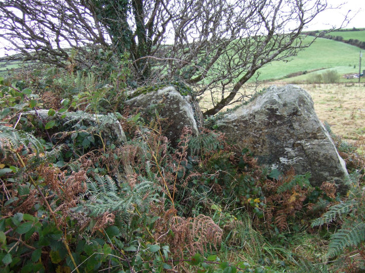
Looking down, in a southerly direction, at the open side. The supports on either edge are just discernible through the vegetation.

Looking into the underneath of the cover stone, through the open side, at what is presumably a scatter of field clearance.


Looking north in line with an axis drawn through the open side of the monument.