
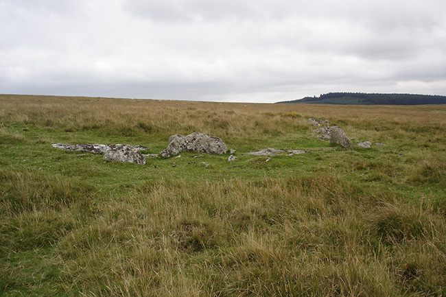
The stone row at SX643776. 26th November 2005.
Image credit: Peter Castle ©
The stone row at SX643776. 26th November 2005.

The restored kist and row at SX644776. 25th November 2005. The snow only disturbed by the tracks of a lone animal.

The restored kist and row at SX 644776. 26th November 2005.

The restored kist and row at SX 644776. 26th November 2005.

The restored kist and row at SX644776. 26th November 2005.

The cairn circle at SX643774. 25th November 2005.

The cairn circle at SX643774. 26th November 2005

The cairn circle at SX643775. 26th November 2005

A skull like stone from the rear right side of the barrow. 15/8/2005.

A stone with cup markings on the left side of the barrow. 15/8/2005.

The West Kennet Avenue stone 37 in Terence Meaden’s book The Secrets of the Avebury Stones. 15/8/2005


The other stone in the Cove, taken on 15/8/2005.

One of the stones on the stones of the circle showing signs of the drill holes from a stoneworker.
Part of the settlement wall that is uphill to the southwest of the rows.

Part of the settlememt wall that is up hill to the southwest of the rows.

One of the reaves running northeast from Stonetor Brook to Batworthy corner.

Looking downhill from the cairn, towards the Batworthy corner.

The cairn at the top of the hill leading to the Longstone .

The row that leads away from the right of the fourfold circle to the cairn on the top of the hill. Looking south.

The fourfold cairn circle with Kes Tor in the background.

The last two stones of the row with the four fold cairn circle at its other end. These stones are not far from Batworthy corner.

The last remaining stone of the “Three Boys”. This stone is around 200 metres south of the Longstone.

The Longstone with the stones nearest to it.

The two stones that remain standing on the northwest arc.

The Shovel Down Circle looking northwest, showing all three remaining standing stones.

The Longstone, looking northeast, with Kes Tor in the background.

Another of the fallen stones of the circle that has been used for something by a stonecutter.

Looking into the chamber from the north. The two stones standing are across the entrance.

This photo is taken looking out from the chamber.

One of the reaves in the field system just to the east of the circle. This photo is taken looking to the southwest.


The three stones that remain standing, and one fallen, on the northeast arc of the circle.

The circle looking from the southeast towards Kennon Hill.


One of the stones on the west side of the circle,showing a face looking left , south.

The tallest stone in the circle ,with Kes Tor in the background.

This cairn with two stones of the kist still showing is situated on the right side of the path leading up from the Teign, just before you reach the Bradford Leat.

This cairn is close to the circle, being situated on the right side of the path that leads to the circle from the Teign just after crossing the Bradford Leat. It is around 100 metres to the southeast of the circle.

The outer pound with the inner house.

This chinese writing is carved on the tallest stone in the complex.


The reave runs from SX677840 in the north to SX667807 in the south. The section shown is where it runs towards the summit of Water Hill.


The southwest wall of the rownear to where it joins the reave that also forms the west wall of the Hurston Settlement.

One of the stones of the kist in the cairn. This cairn has been excavated and an urn with barbed wire markings was found inside the kist . This is now in the Plymouth Museum. The cairn was put back as it was when the excavation was finished.
It is at SX675827.

This cairn on Chagford Common takes it’s name from the nearby West Vitifer Mine.

One of the round houses in the settlement. This one is built on to the south wall.

Looking west along the southern wall of the settlement where it cuts through the row. This also happens at the Assycombe Row. The Hurston Row can be seen running left to right in the photo.