


View back from the path to Giant’s Graves. This is NOT from the top! Pre-forestry views must have been beyond breathtaking!!!


The 2 stones to the west of the lane. The one to the right of the lane was completely obscured by trees & hedges


To the west. You can even see the sea on the very far right!! If you turn round you can see something else entirely....


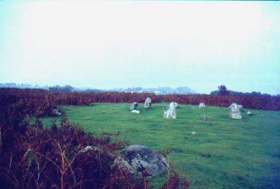
The 2 concentric circles were more obvious when these photos were taken & the bracken hadn’t encroached so far


This is the one Burl reckons is a 3 stone row. His theory is that the 2 end stones have fallen left in this pic, and the middle one has fallen right. Makes sense.


Crap scan – will replace when I can get a better one, but it gives a vague idea of the scale of the complex: White Moss (slightly below centre and right) and Brats Hill (to right of dark patch in centre – honest) from Low Longrigg


You have to climb this hill from Boot in Eskdale. That’s Boot. Yes, it’s steep...probably marginally steeper than it looks in this photo!!


Loupin Stanes
Approaching from road

Loupin Stanes
From the road – the stones are slightly below & right of centre

Girdle Stanes
Approaching from Loupin Stanes. The remaining half. The circle-eating river is just behind the trees to the right

Girdle Stanes
The better preserved half – uneaten by the river!

Cairnholy 1 – the stones. That’s rain on the lens. Atmospheric huh?

Cairnholy 1 – the cairn. Still with rain on the lens.


This place is SOOO difficult to photograph....


