


view from open-top T11 double decker bus


looking northwards across mound with structure C lower right

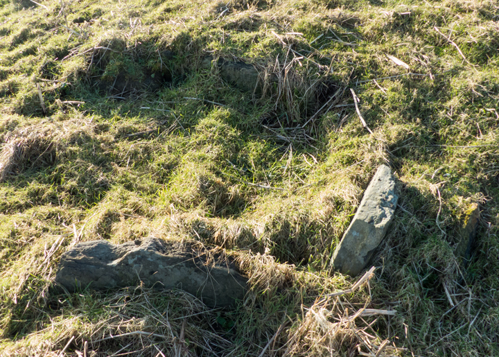

structure C at lower southern side of mound looking from ‘northwards‘


on top of mound looking southwards with ?structure B at left


looking at the end of Rossel Howe over what might be the second cairns remains


diagonal view of front, as I believe, of Rossel Howe with erect and prostrate slab
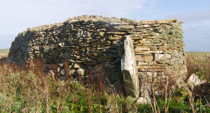
LH side diagonal view of Rossel Howe – erect slab is not actually square to cairn


standing stone with others not earthfast in same depression/whole


view with northern edge of rim at LH side

looking down on northern edge of depression


Cliiside view of broch settlement from Cauldrus looking northwards

there was a cave at the bottom of the cliffs. A paraphrase “Almost opposite to the door of the main building a pit or shaft has been sunk down to the roof of the top of a large underground cave, dry at half-tide. The margin of the top of this has been finished at ground level with large thick edgeset stones to enclose a square with each side about four feet, narrowing to roughly a yard square some 10’ from the cave bottom. One of the stones had a notch cut on its upper edge, probably for holding a bucket rope. At sea level steps seem to have been cut in the sloping westerly side from the cave bottom upwards, and at the NE side other steps have been cut for access from the sea ”


