


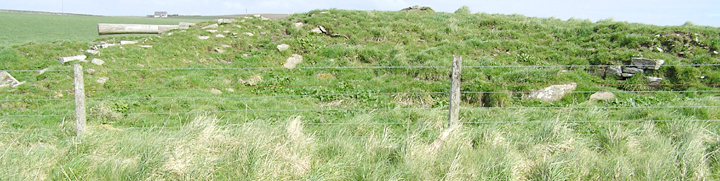


E end from inside field, ‘ditch’ between broch tower and outer broch

from top of outer broch wall looking to broch tower


first conscious view of ‘quadrant‘

Mound viewed facing to field wall

Burn of Lyking and mound

drystane bridge with mound beyond


With one of the large flagstones which may or may not be archaeology, a lovely straight edge though.

Slab standing proud of the loch is either part of the oval structure or the place beyond which the 1980 drought exposed it .


Silage pit at right of mound, Skaill Church visible behind.

mound seen from Lenahowe road above, silage pit at right back

uphill side of mound, stones evident in possible excavation depression


evidence for stones used to construct mound mixed with modern dump

HY435088 . The broch tower was in the field behind the breezeblock wall at left. Old-maps shows a well in the region of this “midden-y material”.


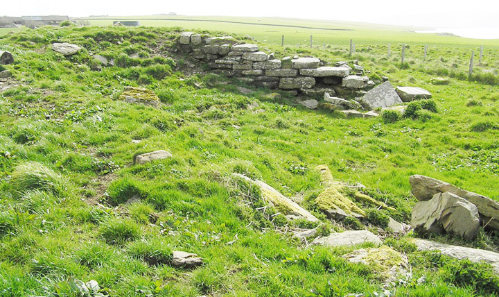
area where the intact wall stood before the storms

section to right of where wall stood

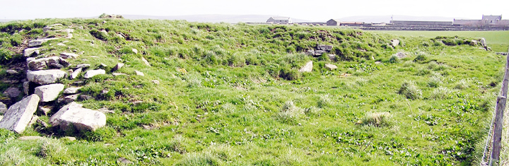
general area of walling after the storms

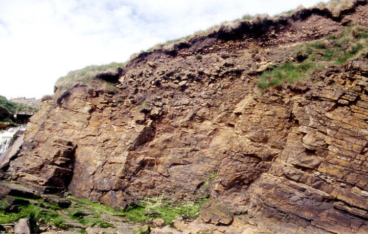
Cliff section after the storms

structure B to left of structure A as seen from coastline. 4.7m across


4.3m wide across this, the shortest side, picture with back to shore

4.3m wide across this, the shortest side, picture with back to shore

looking down longer side towards Churchill Barrier No.1
