
An early photograph of Wayland Smith’s Cave. Of note is the lack of beech trees surrounding the monument.
Image credit: Wilsons Almanac
An early photograph of Wayland Smith’s Cave. Of note is the lack of beech trees surrounding the monument.

Harold Burnham and Beatrice Blackwood standing in front of Wayland’s Smithy.


‘Shadow Tracks on Wayland Smithy‘
There’s a few more Waylands artworks at suefawthrop.me.uk/

Cover of English Settlement by XTC. The Swindon connection!


Detail of the Sarsen at West Kennet, the one that is often wet (is it over a spring?) Taken 2003


Found this worked flint in a bunny heap at Perborough. If any flint specialists can shed any light, I would be grateful. Please add a comment if you know what it is. Many Thanks, the Wysefool X

The Blowing Stone – the sign on the tree reads:
Contributions to the blowing stone fund will be gratefully recieved by the local custodian. The proceeds are devoted to local charities.
(soz, can’t read the name underneath)

Copper1: We’ve had reports of hippies smoking drugs Sarge.
Copper2: Based on what information constable?
Copper1: Apparently there’s a ‘stoned circle’ somewhere around here.
Copper2: Ur, how many ‘O’ levels have you got constable?
Copper1: One. sir.
Copper2: What a coincidence, me too!

No wonder the RAF (or possibly the Royal Flying Corps?) once wanted it knocked down, the rate of climb for an aircraft like that must be p**s poor!
O Biggles where for art thou :-)

full shape of the barrow from the ploughed field side


foto taken 2005, the platform is a relatively new addition

artistic view of the Cromlech, love the trees in the background


Views of stonehenge, from west and south. Engraving late 17th Century.

Stylistic landscape interpretation of the White Horse of Uffington with star constellations above, and some of the villages of the vale below. Good music too...

The only complete skeleton found in the earthen long barrow. Mr Smith himself? :-)

Kerry Hill geometric interpretation

Amber gold-bound disc. Enalrged detail. Actual size 1inch (2.5cms) approx.
As a link from this site says. Did they have a magnifying glass? The level of detail (the holes are 1mm) and the perfection of the circular indents (inlaid with gold leaf), must have taken a craftsman (or woman, should that be Craftsperson in the PC world?).

Greatly enlarged detail of wood fragment decorated with inlay of minute gold pins, seen in section. Part of remains of haft of dagger. Actual pin length = .0425 inch

Wilsford G5 copper dagger showing wood traces representing haft and sheath. The scale is 2:1 approx

from Ancient History of Wiltshire.
in the middle to far distance are def barrows. Three near the track and four to the left of the track in the field. Given the artistic licence given to drawings of the time (like distance and what you could actually see on the horizon), does anyone have any clues as to which ones they are?


An old illustration from an old book, showing the ‘cromlech’ of Wayland’s Smithy with Uffington castle on the horizon in the background and the white streak of chalk road that is the Ridgeway.

Portion of front cover of Murray’s Berkshire Architectural Guide. Pretty accurate representation.

White Horse, Dragon Hill and Uffington Camp.
Who says you can’t see it from the ground? You’re obviously not the opposing iron age tribe across the river. Tribal Emblem? Yes! Iron Age? No – older than that (there goes another theory!)

The White Horse Pub Sign at Woolstone. A cracking pub – lovely painting of the White Horse above the fireplace too.

The track between the intial defense and the main ditch and bank
The digging into the hillfort culprits (all three of them).
Oh for a lurcher.....
WF x


Little Coxwell Hillfort from the Shrivenham Road. The site occupies the wooded crest on the top left of the piccy.

The view towards WHH and Uffington from Little Coxwell, full magnification on my cheap digi, so not the best quality.

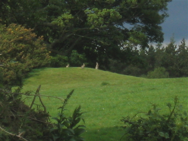
Difficult to make out, but there’s def a earth circle in the centre of the photo. Hut circle or barrow – I know not! Located in the field approaching the site and huff and puffingly uphill.

That’s the first bank, on the other side of the fence.

Yep, it’s steep (they haven’t put that on the warning sign)

The earthworks begin on the other side of the road in the trees

Part of John Rocque’s Topographical survey of the county of Berkshire, 1761


