
view along the coast path back towards Manobier beach
Image credit: Roger Milton
view along the coast path back towards Manobier beach

the concentric stone circles at the end of one of the rows – what was it for?

Last time I passed, it looks like the access to this stone circle has been greatly improved by opening up a right of way across the field from the nearby Little Chef. As others have noted, the walk along the road is unpleasant to say the least.


Looking up along the row from the southern end.

Looking down the row, approx. half way along.

The large stones at the northern end of the row.

Hillson’s House viewed from the east.

Dumpdon viewed from north side of Dumpdon Hill, 9th October 2005CE


Circle with standing stone in background. 4th October 2005CE.

Stone circle and standing stone viewed from NE. 4th October 2005CE

Southern row from the Eastern end. 4th October 2005CE

Both rows viewed from NE looking SW. 4th October 2005CE

Sheep on the western ramparts. 2nd October 2005CE

As viewed from Maiden Castle, with Poundbury “model” village encroaching in the background. 2nd October 2005CE

Three of the stones are being absorbed into the roots of the nearby beech tree. 2nd October 2005CE


I just about got all eight stones in this photo. You can just make out the cross associated with the nearby church over the hedge. 10th September 2005 CE


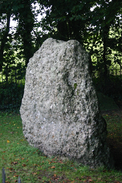
The Hangman’s stone with protective crazy paving (16th May 2005CE).

This handily placed road sign makes the stone easy to locate. (16th May 2005CE).

Wolstonbury Hill viewed from Hurstpierpoint, 3rd July 2004

Taken from the east side of Exeter, 25th June 2004. The two clumps of trees on the skyline to the left of Woodbury are tumuli at SY033878 and SY038879.


Viewed from the grounds of Camelot Castle Hotel, January 2002

Closer view of the “chevaux-de-frise”, July 1996.

The concentric walls with “chevaux-de-frise”, July 1996.


