


Detail of groove in the prostrate stone facing Meg.

Detail of groove in the prostrate stone facing Meg.

Overlay of the section showing the different materials present.

Section of the bank looking North East showing the core and peat infill.

Section of the bank looking South West showing the core and peat infill.

“Bog oak?” and other wood timbers emerging through the eroding peat.

aerial photograph overlaying First edition O.S. map showing the “Fish pond” ?

First edition O.S. map showing the “Fish pond” ?


View of Round Loaf taken from Great Hill looking South West across Anglezarke Moor towards the Pike Stones.


New view of the triangle on the stone. On close inspection a smaller traingle can be seen at its apex.
Mrs Pike whats to know where the D.H.D and the Stargate has gone ?

Looking East towards Round Loaf
Looking North East towards Great Hill


Looking South

Cap stone of the chambered cairn looking West.

Site in context with the surrounding landscape.
Great Hill on Wheelton Moor in the distance.

Side view of the upright and possible cairn. Looking North East.

Side view of the upright and possible cairn. Looking South West.

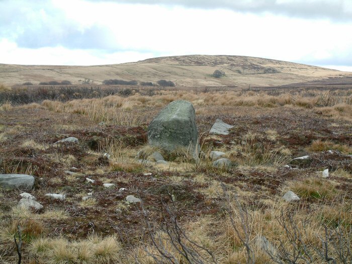
The upright stone showing what may be left of a cairn. Looking North West.

The upright stone at the centre of the arc. Looking South West

Looking down the outcropping stones – North West direction

The lower arc of out cropping stones looking South – East


As can be seen on the image, the grooves align exactly North / South.


Boulder showing 2 deeply cut parallel grooves.

Cap Stone visible on the horizon adjacent to Black Coppice quarry.

Capstone of cairn showing the close relationship of Black Coppice quarry (behind the barb wire fence)

Capstone in relationship to the surrounding landscape


2 Overhanging Rim Urns with incised decoration (205mm & 215mm) and pigmy cup (73mm). Excavated im 1898.

Illustration to show the relivent dimensions of the modern spiral.

View of the Pike Stones looking North East ( towards Great Hill)


The Pikestones information Board.
(This is new since I last visited 15 years ago !!)

‘Summer’ detail of the spiral.
Overall height – 31” Spiral Height – 10.5” Width – 12”.

View of Round Loaf, with Great Hill on the horizon.
Photograph taken from the ridge just above the Pike Stones

Site Layout of the Meayll Circle adjacent to Mull Hill, Taken from The Prehistoric Society – British Isles Study Tour 1994 (Isle of Man).
Note :- the image was taken from a poor original – but it give a good indication of the six “T” shaped structures.

Close up of the a “T” shaped structure.

Detail of one of the six “T” shaped structures.