
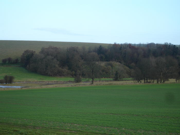
Autumn colour of trees from last year – which rather enhance the atmosphere of the barrow.
Autumn colour of trees from last year – which rather enhance the atmosphere of the barrow.

Imaginative reconstruction of a Neolithic settlement on Martinsell Hill, note ‘wolf platforms‘


Bad photo taken from” Neolithic Dew-ponds and Cattle-ways” but its interesting for the barrows in the background.

The modern bluestone lifted by helicopter in 1986. A fragment of bluestone picked up on the path, is a beautiful grey blue colour, it is smooth and very tactile in its fresh state, almost slate-like.

Offerings at the Swallowhead, some must be for Imbolc, held on the first weekend of February.


Devizes side of Cherhill Down, with the hillfort to the right of the old photo.
Cherhill down is an extraordinary place..

Carn Meini seen from the distance. An evocative prehistoric landscape, stone river winding its way at the bottom.

Old willow at the springs with the sun coming through onto a flooded landscape – the Kennet overflowing its banks.


beech tree topped barrows on Overton Hill – 3 in this group, with a single back along the track abutting the Ridgeway


Apart from its hillfort and folklore, its one of the highest in Wilts,


Seen from layby in March, the barrows linear symmetry spoiled by intrusive paraphenalia, dominant position on crest of hill/Ridgeway route, suggests prestigious burials.


Not a good photo,but taken from Solsbury Hill, this is the north side of Bathampton showing the “romano-british” field system, and where the stone circle (should there have been one) would have been, with perhaps the avenue leading down to the river, terracing on the lower slope is later.


Stantonbury from afar, a gently rounded hill, not terribly defensive as a hillfort, more a fortified settlement.


South side, with greenhouse type buildings taking advantage of both outcrop and sun..


taken from the north side, coming back from St.Justinian


Charmy Down and Solsbury Hill seen from across the valley. In the foreground remnants of an old track that would have joined these old prehistoric settlements can be traced through the farm paths and hedgerows perhaps...


St.Non’s church with stone in front of church seaward and other stones in field bank.

Ignore the left boulder stone, that the farmer has erected recently, its the stone on the right that is the prehistoric one.


