Thanks to Stubob for the location info.
Image credit: Old Postcard - Judges Ltd.
Thanks to Stubob for the location info.

Photo taken before the concrete dome was added to the chambered cairn, possibly during the ‘52-53 excavation.


Quote from the forum
’ We think that the large white house in the centre of the picture is Brimpts Mead, which is now very enclosed by trees and not really visible (the entrance to its drive is just up the hill from Pixies Holt). It must have been quite new then, but I think may not be so bright white now.
Brimpts Farm would be off to the right, but you can see the main road cutting across the top of the picture on front of the forestry trees, you can see where it turns, on the map there is a spot height of 293m at this point. As most of the Dartmoor plantations were planted around 1920, this dates the photo to after that – not sure how long it takes for the trees to mature.
The building in the top left are at Hexworthy but I don’t know which ones – maybe the pub?
On the left you can see the road of Dartmeet hIll, with a track running to the right to Dartmeet Bungalow (may have had a different name then – but was named this when a prominent DTRG member Peter Hirst who co wrote the Brimpts book lived here until he died a few years ago).
Tim says the circle in the photo is visible from the road, at GR SX 676 734 – if it was Ollsbrim you wouldn’t be able to see the track to the bungalow so easily, but you are right, it is a round house not a stone circle!

Postcard ‘photographed in natural colour‘
Date unknown
Postcard reports ‘RAIN AGAIN‘

Postcard
Posted 1962

Postcard
Date Unknown


Postcard
Date Unknown

The Glaisdale Rigg Stone looking across Glaisdale Head to Egton High Moor.

The Rokan Stone looking down into Glaisdale with the Esk Valley and the North Sea beyond. The tract of land to the left is Glaisdale Rigg.

Looking across Bilsdale towards Garfit Gap with Cold Moor on the left and Urra Moor on the right.

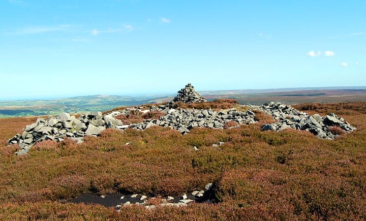
The unusual holed boundary stone on the top of Green Howe.
Looking north east-ish towards Cringle Moor on the left and Cold Moor on the right


Looking North-ish towards the other carved rocks in this area.

Stone 418
The book, Prehistoric Rock Art of the West Riding states that this rock has 5 grooves, 1 cup with 2 rings, 3 cups with single rings plus another dozen or so scattered cups.
Erosion is obviously taking it’s toll on these carved stones as we could barely recognise many of these features.

Stone 422 looking south across High Skyreholme to Simon’s Seat.
Ray Seaton’s Astronomical significance chart indicates that this is the direction of the winter solstice sunset.
Stone 422 looking west.
The conical profile of Elbolton Hill is visible on the horizon. According to Ray Seatons astronomical significance chart for 2000BC, this is an alignment on the spring equinox sunset..whatever that means.
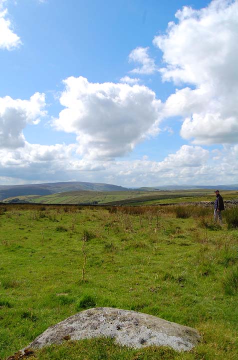
The bloke in the field is the mighty Graeme C.

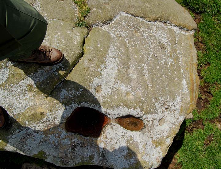
A hastily grabbed shot of a few of the cups and bowl on the top of rock 421.

Rock 407 looking west with the conical profile of Elbolton Hill visible in the distance


An old postcard credited to Frank Packer, photographer, Chipping Norton.

an uncredited old postcard

An early 20th Century postcard by R. Johnston & Sons. Newcastle Works, Gateshead.

This boulder is close to Crab’s Cairn. It is about 3m x 2m x 1.5m and is shot through with quartz veins. It is also the only large boulder that I encountered on Tullos Hill.
Significant? who knows?
Girdle Ness lighthouse in the background