
Stonehenge Riverside Project.
Post hole features in ploughed-out barrow to L and between barrows. Compare Aug 07 pictures.
Image credit: Jimit Sept 07
Stonehenge Riverside Project.
Post hole features in ploughed-out barrow to L and between barrows. Compare Aug 07 pictures.

Stonehenge Riverside Project.
Double ring ditch. Archaeologist and author Josh Pollard in red shirt. Compare Aug 07 pictures.

Stonehenge Riverside Project.
Double ditch feature with inhumation sites. Compare Aug 07 pictures.

Stonehenge Riverside Project.
Partly excavated articulated skeleton of a medium sized dog in the ring ditch of a ploughed-out barrow, S of Woodhenge. Femur to right, spine just out of sight in foreground of pit.

Stonehenge Riverside Project.
Early excavation of the S ditch leading to the W terminus and the later barrow.
Jim.

Stonehenge Riverside Project.
Early excavation of the S Ditch. It is interesting that this first stretch of the S ditch and bank seems to be aligned on Beacon Hill, shortly after this trench they veer northwards to follow parallel to the others. (clearly visible on OS maps) Change of mind...different gangs? What struck me was the beautiful quality of the ditch infill. a fine, dark loam that any gardener would covet.
Jim.

Stonehenge Riverside Project.
Early excavation of the N ditch.
Jim.

Stonehenge Riverside Project.
Early excavations outside the W termination of the Cursus. I was told that the slight bank to the right of the trench is a 20c reconstruction of the original bank, destroyed when a pig farm was built there!
(all errors are mine!)
Jim.

Stonehenge Riverside Project.
Early excavations at the Cuckoo Stone.
It is suggested that.....The rectangular mark centre, is a Roman mini metalworking area and will not be excavated.....The small square above it is a modern test pit......The dark area to the right of the stone may be the ramp used to raise it....the parallel lines are plough marks.
Other obvious traces are a mystery.
(All errors are mine!)
Jim.

Stonehenge Riverside Project.
Early excavations showing the ditch of the ploughed out BA barrow and the post holes of an earlier structure.
(All errors are mine!)
Jim.

Stonehenge Riverside Project.
The curious double-ditched structure. The interesting things to note are the roundish marks around the perimeter. A friend who excavated at Cranborne Chase said they found similar, but single ditched, structures there.
(All errors are mine!)
Jim.

Stonehenge Riverside Project.
Early stage in the excavations of the ploughed out BA barrows just to the South. In the background, a barrow with a 4(6?) post structure to the side. Foreground, an unusual double ditched structure.
(All errors are mine!)
Jim.

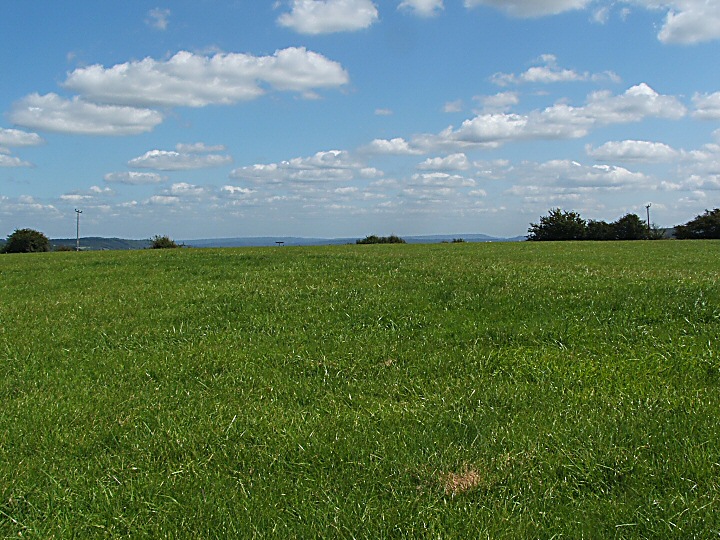
Stonehenge in its landscape.
A curious view obtained from the Cursus Barrows using a telephoto lens.
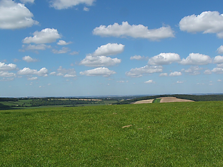

Looking W to Southampton and The New Forest.


N Barrow, Spring.

N Barrow, Spring.

N Barrow, Spring.
N Barrow info board.

E Barrow, Spring

E Barrow, Spring

E Barrow info board.
Banjo Enclosure Ditch

Banjo Enclosure “Neck”

Banjo Enclosure Info Board.

Lighting seems to be crucial in photographing this enigmatic stone. The curious waving lines show up well here.

The view S from the sadly ruined SE chamber. What a sight this barrow must have been when newly constructed. Visible for ever with the (presumed) portal stones standing proud. The sculptural quality of the downs here is also amazing with steep ridged combes nearby. Taking MAGIC’s figures of 70M long by 7M high by 20M wide we come to a very very aprox figure of nearly 10,000CuM of chalk moved. I wonder how this compares with similar barrows?
Jim
P.S. Quick calculation of Knap Barrow, the longest in Hants...4,000CuM and Grans Barrow nearby 5,000CuM.

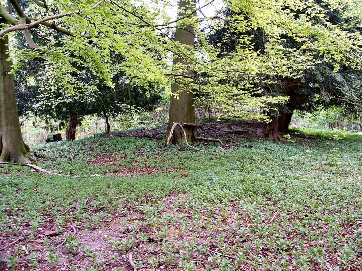
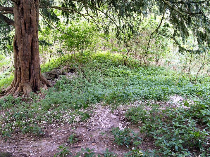
WKLB in its landscape. Curious that from a few yards further on it disappears and is not seen from the path until you are nearly upon it.
Jim.

The “Polisher Stone” within its setting within the Avenue. As a help to those who wish to find it. There is a tiny layby, the"other side” of the yellow lines opposite.
Jim.

The “Polisher Stone” in the Avenue. The polished bit, centre bottom, is glassy smooth but in a position to be almost impossible to use. Was the stone originally in a horizontal position for this purpose before being raised vertically?
Jim.

Goodness knows what this is supposed to be. Looks as if someone has had a half hearted attempt to remove it. Difficult as it is scratched on.

I ask you, noughts and crosses! Less offensive than other graffiti elsewhere but mindless vandalism nevertheless.

Phill Harding of Time Team fame giving a masterclass in flint knapping with some of the replica tools he has made.
Sheffield Uni dig.

Sheffield Uni dig.
N excavation.
Circular arrangement of postholes, up from bucket.
This seems to be another round structure with signs of feasting.
(Info from guides)

Sheffield Uni dig.
N excavation.
Postholes and ditch. Notice L hole with ladder.

Sheffield Uni dig.
Centre excavation.
Postholes to R of hearth (L of measuring tape).

Sheffield Uni dig.
Centre excavation.
A circular structure with ditch. A burning site at centre with animal bones including pig to right of man with white hat. Hearth to L and up from buckets and postholes visible to right of man in black hat.

Sheffield Uni dig.
Large circular ditch at centre excavation.
Jim.

Sheffield Uni dig.
N. excavation nearest camera, centre excavation in middle distance and outer bank of Durrington walls in background.
Jim

Sheffield University Dig.
General view of site. A ramp to a stone hole at bottom left. The “V” shaped ridge is left for future investigators.
(Info from guides)
Jim.

Sheffield University Dig.
One of the huge post holes showing the errection ramp to the right.
(Info from guides)
Jim.

Sheffield University Dig.
The immense holes dug for the wooden uprights in the outer circles, shown by the green marker in the background. Aprox 1M deep by 1.5M wide. The shallower hole in the middle is believed to be for a large stone which was missed by the original Cunnington excavation. the shallower scrape to the L centre has been provisionally dated to the Mesolithic period.
(Info from guides)
Jim.