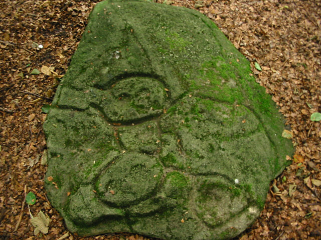
08/03. There’s nothing really different in this pic to the others. But why did the susans have to scrape their names out here.

08/03. There’s nothing really different in this pic to the others. But why did the susans have to scrape their names out here.
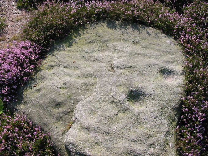
08/03. This small stone is also within the enclosure.


07/03. Not the best of pics but it shows more cup marks on a ledge buried under smaller stones.


06/03. Showing the central and side dishes. Overall the circular carving is 50cm across.


05/03. The smaller Southern Circle is a bit hammered, this arc on the other side of the wall is probably the most distinctive section.


05/03. Looking into the cairn thru’ South entrance. Higgar Tor in the background, Carl Wark to the right.

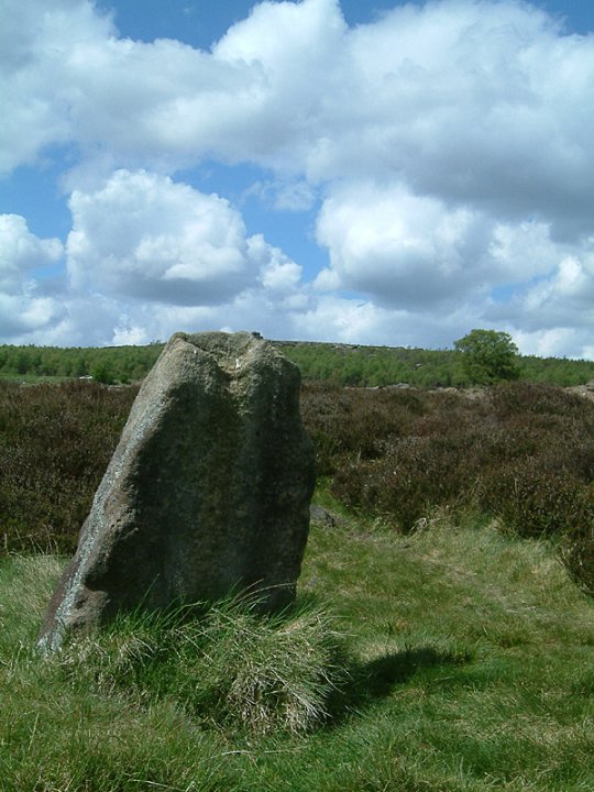


05/03. The Chair Stone. This is the area of the now destroyed Neolithic cairn, possible traces of a rim can be seen near to the trig point.


05/03. These marks are to the left of the serpent carvings on the same rock. Are they part of another worn carving?

05/03. The front of the bank is sorta in the foreground along the line of the tuft of spiky grass. The grass on left of pic is inside the ring cairn.
‘No wait it gets better’. The cairn on the NE corner, that kinda gives the ring cairns location away. .....Is right behind the tuft o’ spiky grass.

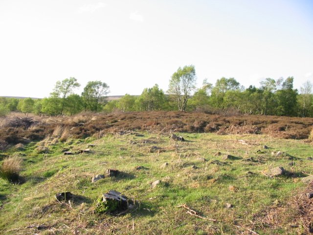


05/03. Northern end. The line of the rampart follows the hedge to the right.
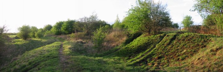


04/03. Northern bank and ditch. I think that’s Robin Hood’s Pot in the background.