juamei

juamei

All posts expand_more 651-700 of 1,035 posts

Bamford Moor South

[visited 6/11/10] This is a delight, especially in the late autumn sun casting long shadows with the pheasants adding a symphony of noise about me. I was released from my own nest for a few hours out to enjoy for my birthday and picked this as it fulfilled 3 main criteria; away from the masses, still in very good nick and, unlike most now in the peaks, it was new to me. I’ve been to Seven Stones of Hordron Edge a couple of times but hadn’t realised anything else this good was on the same moor. Really should finish reading through “Stone Circles of the Peaks”! Next up for me on here is a nice long walk taking in this, Seven Stones of Hordron Edge with hopefully Moscar Moor and Bamford Moor North as well.

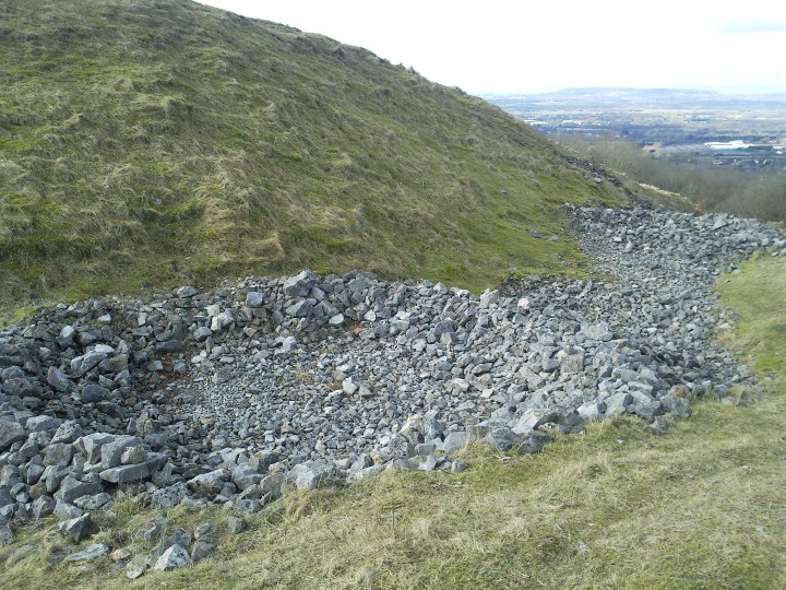
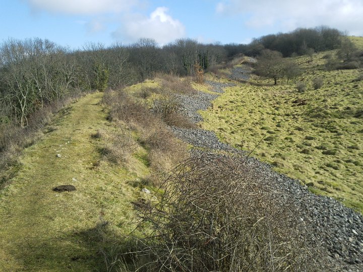
Access is across wet peat bog and up a moderately steep hill, without decent paths. Many many thanks to Postman without whose instructions, I would no doubt still be struggling to find this delightful little circle. For anyone else following the instructions, two amendments may be helpful; firstly after crossing the stream follow the trees up the hill and secondly head in a North-North-Easterly direction from the modern stone, not North east as stated...

Castle Naze

[visited 2/10/10] I can only agree with what the others say about the effort to reward ratio. Fantastic views for not that great a climb. I was surprised to only see a cross bank, the other 2 sides presumably steep enough to not need extra protection.

The cross bank defining the fort area looked denuded to my eye, presumably to obtain the stone for all the well maintained walls along the edge. Though the outer ditch was impressively deep nevertheless.

Also, I’m not sure who was more surprised, me or the climber who poked his head up at the top of his climb to find me there admiring the view.

Access is up a steep ill defined path and so not easily accessible unless in reasonable health.

Oldest evidence of arrows found

Researchers in South Africa have revealed the earliest direct evidence of human-made arrows.

The scientists unearthed 64,000 year-old “stone points”, which they say were probably arrow heads.

Closer inspection of the ancient weapons revealed remnants of blood and bone that provided clues about how they were used.

bbc.co.uk/news/science-environment-11086110

Stokeleigh Camp

[visited 25/04/10] This is a peach of a fort. Very well preserved banks, with lovely views, in the middle of a walk in a wood and no massive hill to climb. The latter of which meant my belly didn’t thank me but I cared not.

Massive bivallate defenses stand out through the trees as you approach from the south-west. We traced the elongated horseshoe but mostly strolled near the cliff edge after going up and over the inner rampart which must be 3 metres high and maybe 6 from the lowest point of the ditch between the banks. Inside it’s grassy with several trees to stroll between.

The thing that stands out for me is just how close Clifton Down Camp is on the other side of the ravine. I had wondered whilst stood at Clifton Down Camp, not knowing where Stokeleigh was, whether they could have easily communicated. Standing at Stokeleigh you can see they could have shouted and just about be understood. They could have definately fired lines across attached to arrows and passed stuff back and forwards. It seems hard to believe the two camps were not occupied by the same tribe, unless it was some kind of iron age Joint Security Area. Of course Burgh Walls is just across the ravine to the South East as well. Whilst on the subject of inter-visibility of hill forts in the Avon Valley, from here you can also see North Stoke, Freezing Hill and Stantonbury, whilst Maes Knoll is possibly visible through the trees (definately visible along with possibly Tunley from Clifton Camp). As an aside, is Clifton Suspension bridge the only suspension bridge in the world you can see at least 6 hill forts?

Access is along well defined paths through a light forest. Its mostly flat and less than 1/2 a mile from where we parked (ST 555 730)

Image of Dolebury Warren (Hillfort) by juamei

Dolebury Warren

Hillfort

There are several of these circular structures on the northern edge of the fort. I presume they are from the ww2 use of the fort by the home guard mentioned in the SMR.

Dolebury Warren

[visited 20/2/10] What an amazing hill fort! Its a massive bivallate fort with views stretching all the way to Wales, Exmoor and if someone took the trees out of the way probably Lansdown. With palisades and a clear tree line, this fort would have dominated the upper reaches of Chew valley and the northern Somerset levels.

I did my normal trek about the ramparts, clockwise for those keeping count, struggling up to the western entrance. The fort was built sloping down from the highest point on the hill to where the land dropped away on the eastern end. The interior earthwork noise is believed to be mostly from a pre medieval rabbit warren, with possibly some additions during ww2. Presumably the small circles formed from the loose stones near the northern ramparts are probably ww2 picket posts.

Access is for those who like hills. The Eastern entrance has still got a reasonable track coming up from the A38. If you are approaching from the west, be prepared for a long muddy walk which out of summertime might be difficult with a pushchair. I trekked up from the A38, parking at a pub down a small lane on the other side of the A road.

Link

Lot (46)
Departement
Quercy Perigord megalithes

A great site predominantly about the Dolmens of the Lot department and some of Tarn & Garonne department.
There is an article from the french Archéologia about the Lot dolmens with an english translation at the bottom. Plus several pages of pictures the author has visited and also cupules (cups) and standing stones in the region.

Bury Wood Camp

[visted spring 2009] Oddness abounds here. As I approached on the a420 I expected a massive hill to be appear, contours on maps clearly not my strong point. What I got instead was a tight V shaped valley wrapping its way around the two open sides of the promontary. This means that even without the tree cover there are no long views out across the land. There are very few hill forts in Britain where the next hill in all directions is but a tight valley away.
The fort itself is off the public footpath, but I got slightly lost and stumbled upon it by accident, officer. The interior seems to be grass now, used as a circuit for horses. Generally its survived quite well.
Access is for those who like walking up and down and up and down footpaths through woods. Twice the normal effort for half the joy.

Burledge Hill

[visited 22/03/09] This is a pretty little promontory fort with well defined ramparts, certainly to the East, South and West. Not sure about the North however. I finally made it back here after making it within half a mile along the ridge a few years back and discovering nowhere to park at the top of the hill.

There are beautiful views in 3 directions, but you’ll need to trespass to see them. This is my least favourate type of hillfort, that where the only public access is straight across the middle. Of course the rest of the hill is covered in pasture so locking gates and thus stopping curious and lawabiding visitors from actually seeing much of this fort, is slightly annoying. Though the nature of the owner becomes clearer when you realise its nigh on impossible to get to the Open Access land which the North rampart is supposedly on. I gave up after fighting felled bushes, hedges being grown in the way and a scrambler track making it v. hard to proceed.

Access for me was straight up the hill using the footpath that starts at the West end of Bishop Sutton. I wouldn’t recommend it if you are very unfit though. I presume you could get a wheelchair from somewhere on top of the ridge. The bridleway is not passable by a car...

All in all, worth visiting if only to annoy the farmer, otherwise go to Maes Knoll.

Harland Edge cup marked rock

[visited 18/10/08] Spang! I found these littleuns whilst looking for a spot to perch and watch the hills. On the edge of a hill covered in heather, peat bog and old mine workings, two massive boulders look out towards Fallinge Edge and Raven Tor Triple Cairn. The one further up the hill has 3 cups on the top of it.

Not sure whether these are recorded or genuine but I have seen ‘a few’ certified grade Aaa ones before and they stand proud beside them.

Access is for the intrepid via Hob Hurst’s house. The paths are barely sheep tracks between ankle to thigh high heather and come and go as they please. “Watch every step” is the best advice I can give. Oh and watch out for the random small boulders, the bog pools and mine pits.

Pech Merle

[visited May 08] Wow oh wow. Once in a while a visit to a site created by our ancestors lifts me well out of the mundane and into a state unlike any other. The glorious paintings here did just that. I’ve seen a lot of Neolithic and bronze age rock art in the UK and I’ve seen the 11,000 BP engravings at Cresswell crags but this is a whole different ball game.

Photo taking is banned so you’ll need to have a look at the link to the attached visitor’s centers website. [edit] Or look at the Public Domain images....

I walked about in a state of disbelief looking at paintings of human representations pierced by a spear, mammoths, bison, ‘female symbols’ aka triangles, a bears head and amazing dotted horses which were carbon dated to 25,000 BP. There is also very old animal bones and unbelievably 10000 year old footprints. The paintings range from 25,000 BP to 10,000 BP.

Oh and then there is the geology, this cave would be renowned for that even if the paintings weren’t here.

Superb to see something that puts the mere 3-4000 years back to stonehenge into stark perspective.

Access is down stairs and occasionally slippery under foot as you walk on the floor of the cave system.

Cyclist attacked by men and dog on Hackpen Hill

An 18-year-old cyclist suffered severe facial injuries after being attacked by three men and bitten by their dog.

The teenager was riding up Hackpen Hill near Broad Hinton, Wiltshire, on Sunday afternoon when he stopped at the top to have a cigarette.

Police said three men in their 40s approached him and punched and kicked him. Their dog, described as large and brown, then bit his arm and face.

The men stole his mountain bike before running off towards a nearby car park.

news.bbc.co.uk/1/hi/england/gloucestershire/7604018.stm

Wick Barrow

[visted 08/07/07] Another failed site, this time through not wanting to turn up unanounced at a Nuclear Power Station and asking to see their barrow. I did get to the gates and could see the barrow just inside the gates in a fenced off tree covered enclosure, but it was the other side of some (open) security gates and a large barbed wire fence. Call me overly cautious but in the current climate I figured discretion really was the better part of valour. There is a number for them on the British Energy website so I might give them a ring next time I’m heading that way.

Access is after sundown wearing ninja suits and night goggles.

The Long Stone

[visted 08/07/07] I have been a sucker for any rock art in wessexish ever since I saw a lot up north a few years back. It is however very rare about these parts and so I headed over to see this without high hopes. Sadly I completely failed to find a cup on this otherwise purty little stone. There are a couple of small depressions, but nothing I could positively say had been created by man.

Moving on, this somewhat misnamed stone comes up to about waist height nowadays and reminded me of the West Anstey Longstone. It is an absolute peach of a location overlooking the Bristol Chanel, Wales clearly visible in the distance. Also clearly visible is Hinkley Point Nuclear Power Station, or as we like to think, the Pixies Mound. Can’t really say about the orientation though as it was re-erected in the 60s.

Access is for the fitish but is all footpaths and would be doable in a wheelchair that could handle reasonably rough ground and steep slopes. Feeling energetic I made it up there in 25 mins, about a third at a slow run, and back down in 15mins, running mostly. Walking would prolly take 30 mins mostly all up hill. The effort to reward ratio is quite high on this one!

London's historic views 'under threat'

Through the carefully trimmed foliage, St Paul’s majestic dome appears no larger than a thumbnail.

Seen from 10 miles away, London’s iconic cathedral seems to hover in the distance like a mirage, shimmering in the heat.

This unique “viewing corridor” from King Henry VIII’s Mound, down a specially maintained tree-lined avenue, has been a feature of Richmond Park in south-west London, since the early 1700s.

With the surrounding modern buildings carefully hidden by the holly hedging, this “key hole” view of the 18th Century landmark from the park is like a window to London’s past.

But heritage campaigners fear new planning laws – introduced by Mayor Ken Livingstone and rubber-stamped by Communities Secretary Ruth Kelly – mean Sir Christopher Wren’s masterpiece could end up crowded out by sky-scrapers.

Under the new planning rules, the so-called viewing corridor has been narrowed from a width of 150m to 70m.

news.bbc.co.uk/1/hi/england/london/6712137.stm