
Southern cairn.... believe it or not?
Image credit: Robert Gladstone

Southern cairn.... believe it or not?
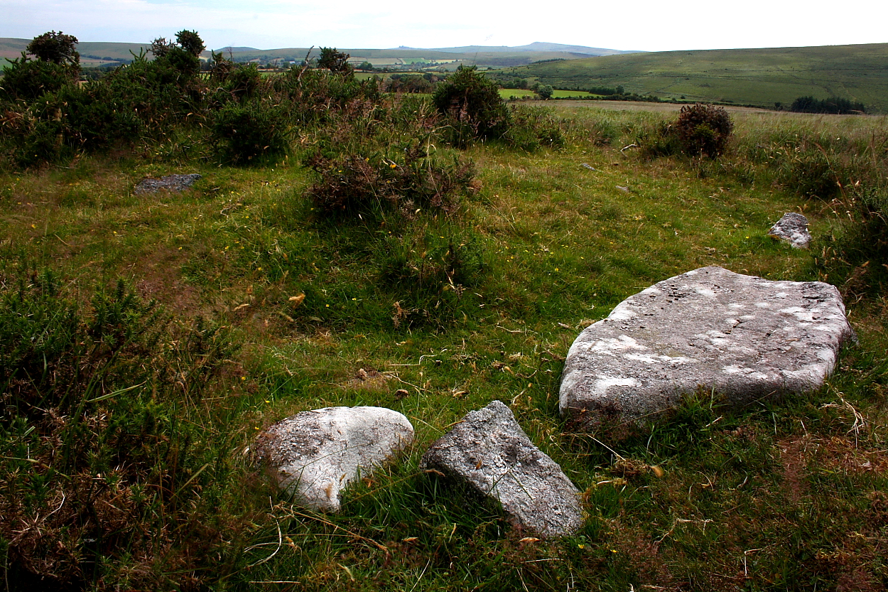
According to the Devon & Dartmoor HER (HERMDV8076) the stone row upon Trendlebere Down (SX76600 79239) is:
“Probably a double row, much robbed, and many fallen stones; one undoubted pair of set stones left standing 940mm apart, face to face. It starts at the south end with a ruined cairn, now reduced to a mere ring-cairn. Terminates at north end in another ruined cairn, also reduced to a ring. At this end there is a mound which looks like an independent cairn. Its centre 15.24m to the west of the line of the row. More probably the remnant of the row cairn, turned back by the roadmen, who have despoiled both terminal cairns. The distance between the centres of the terminal cairns is 125.61m....”
Off road parking is available a little along the road to the north-west.. incidentally a short, stiff pull from here will reward the curious visitor with an audience with the quintet of large cairns upon the summit of Black Hill. Well worth the additional effort. But then I would say that, wouldn’t I?
Also worth mentioning is that the stereotypical ‘don’t visit in summer if you can avoid it’ caveat most definitely applies here.

It is very difficult to supress the notion that Dartmoor’s craggy tors and cairns were intrinsically linked in folk’s mind when the latter were new. There really is a seemingly artificial geometry to the geology which, or so it would seem, inspired some to surround them with cairns. I was to view a splendid such example of a ‘tor cairn’ at Cox Tor a week later.

This exquisite cist set within the polo remains if its cairn would appear most easily approached via the official car park/pic nic site at the eastern end of the reservoir. However follow the road to its terminus and the visitor has the additional opportunity to visit the nearby Fernworthy ‘circle and complex.... and, should one be supercharged enough – those days are long gone, mind – the restored Grey Wethers upon the bare moor.


One wonders what the landscape resembled before the reservoir came... a small, natural lake... bog?


Looking southward along the northern stone row.

Looking northward toward the ‘circle from the southern stone row.


To be honest I felt more of a ‘Scottish’ vibe here... I guess due to the siting within a forestry clearing.


I only returned here in passing since I intended to visit the excellent cist upon Thornworthy Down... but ending up staying the morning.

Although by no means Dartmoor’s finest stone circle – in my opinion lacking the evocative vibe of more ragged examples upon the open moor – this is nevertheless an engaging site... if lucky enough to time a visit to avoid sundry campers, new age individuals, and walking groups.


The eastern hut circle; head toward – and beyond – the enigmatic tree for the cairn.

The rather fine eastern hut circle... but one feature of “two irregular aggregate field systems with associated settlements” to be found here. Incidentally Fernworthy Forest can be seen skyline.
According to Historic England:
“The irregular aggregate field systems on Riddon Ridge are amongst the most extensive recorded on Dartmoor. Their relationship with the Dartmeet coaxial field system is of particular interest. The settlements and cairns provide useful information on the character of occupation in this area during the Bronze Age and together with the other Bronze Age remains, this monument represents an important and relatively rare instance of an area containing good examples of the major settlement and land division types found on the Moor....”
So, this sleepy, low ridge near to the tourist bustle of Bellever would appear of much more significance to students of Bronze Age domestic life than I assumed... as I chanced upon a very fine, solitary hut circle en-route to the funerary cairn.
More here:
historicengland.org.uk/listing/the-list/list-entry/1018930



Corndon Tor rises beyond (top right) boasting what are – to my mind – several of Dartmoor’s finest cairns.

A nice, small cairn with a little bonus stone work; ideal for when the summer tourists become a little too much.

King’s Tor lies beyond – ‘rises’ is perhaps pushing it a little. Clearly monument intervisibility wasn’t a prerequisite here.

Not sure whether this was a super cist covered by two capstones... or one cap stone now broken in two?

Retrospective back toward Hookney (centre) and Shapley Tors.


Grim’s Lake Mire.... can there be a better name for a site?

The monument complements the stupendously large – and aptly named – Broad Barrow upon nearby Hamel Down, revisited the next day after a 16 year hiatus.


The interior has been hollowed somewhat, as one would expect. But not excessively so.

Again, note how the ruck sack is dwarfed, far right.

The ruck sack emphasises the elephantine bulk of this massive monument.


