

GLADMAN


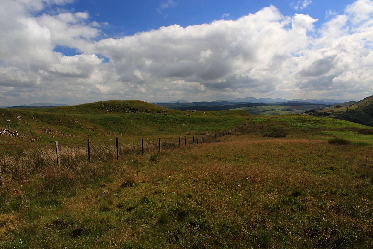
The remains of this cairn, set upon the, it has to be said, somewhat inhospitable eastern slopes of Esgair Elan – itself forming the southern flank of the wondrous upper Cwm Ystwyth – have a good shout for being amongst the most obscure you might wish to find in these Isles. Yeah, having walked the ridge a number of times in the past – not to mention camping below on innumerable occasions – the monument doesn’t exactly advertise its presence, so to speak.
Luckily, the people at Coflein know where it’s at. Quite literally:
“A small stone cairn, thought likely to be a funerary cairn. It measures 2.5 metres north to south, by 2.25 metres wide and is no more than 0.2 metres high. It is partially obscured by grass and moss.” [P.Sambrook, Trysor, 13 September 2011]
Better late than never.


So what do you call a hill topped by a large cairn/barrow? How about Cairn/Barrow? That’ll do.
Just goes to show you never know what’s up there, do you?


Looking approx south toward Y Mynydd Du crowning the skyline...
Image credit: Robert Gladstone


The south-western end of the ridge: can’t argue with that.
Image credit: Robert Gladstone

The southwestern bank from without – not particularly powerful, but then, given the topography..
Image credit: Robert Gladstone

Looking along the spine of this delightful ridge to the south-west... the southern flank is sheer, so no need for any defences there.
Image credit: Robert Gladstone

Retrospective to the northeast... one can appreciate what certainly appear to be defences within the copious fern (I attempted a definitive look but was driven back by industrial-strength bramble within the greenery).
Image credit: Robert Gladstone
The transmitter station is offputting, granted. But then the cairns were here first.........
If you happen to be passing… use your loaf: there’s a hill fort up there. No, really.
Not to be confused with the shapely hill overlooking Abergavenny, this ‘Sugar Loaf’ – presumably so named on account of its profile... although exactly what a sugar loaf is I could not tell... can’t be very healthy? – is actually crowned by the remains of an Iron Age hill fort... a fact that 99.9% of visitors to this rather fine ‘picnic spot’ upon the A483 between Llandovery and Llanwrtyd Wells are probably oblivious to.
To be fair, there are mitigating factors, not least that the ancient providence was apparently only ascertained from the air in 2001! OK, the defences are far from obvious on the ground; however, I can confirm they are there alright. A wonderful spot, indeed.
The archaeological experts reckon:
“The Iron age hillfort occupying the summit of ‘Sugar Loaf’ knoll, is aligned SW/NE. The fort is elongated, oval in shape, with an entrance at the north east end. A single earthwork rampart defines the north side of the fort, with apparently no artificial defences on the south side due to the precipitous natural slopes. The rampart narrows along the spine of the ridge at the north east end, and ends in a cross bank defending the simple ?passage entrance. Discovered during RCAHMW aerial reconnaissance in 2001
(AP ref: 2001/3528 26-28). Not inspected on ground. TGD”

Viewed across Cwm Brefi from the monument crowning Crug
Image credit: Robert Gladstone

Cairns as far as the eye can see.... Bryn Rhudd is to the left of image, with Cnwch Mawr approx centre and Banciau Duon far right.
Image credit: Robert Gladstone


Looking across Cwm Brefi to the excellent Banc-y-Gwyngoed and complex upon Bryn Rhudd. Yet another very substantial (unmarked) cairn may just be seen upon Cnwch Mawr, centre right
Image credit: Robert Gladstone


Looking approx south towards the wondrous Carn Fawr and Craig Twrch etc...
Image credit: Robert Gladstone

Facing off to the fabulously be-cairned Bryn Rhudd and Banc-y-Gwyngoed across Cwm Brefi, Crug, not to be outdone, is also crowned by the remains of a pretty substantial Bronze Age monument. However, this – despite still measuring some 35 feet across – possesses a more subtle allure for the passing antiquarian than the mighty stone piles to the north. Indeed, topped as it is by a crude, circular ‘hat’ enclosing the OS trig pillar, the uninitiated muppet searching for shelter might well not discern the ancient, grassy footprint underfoot.
I approached via the forestry track east of Pant-yr-esgair, eventually gaining the treeline to the north via a steep ride (in retrospect one should approach the fence sooner rather than later). Following said fence across Esgair Goch to the southwest, prior to veering northwest, a stile eventually allows access to the summit of Crug at a junction. A fine place to be, with some pretty fine panoramic views.
The people at Coflein reckon:
“This stone cairn sits on the southern side of the highest point of Crug.... The cairn is almost completely covered with grass with its stone make-up showing most clearly on the southeast. It is roughly 10.5 metres in diameter and up to 0.7 metres high on its southeast side. On top of it is a circular drystone structure... in the centre of which is a concrete Ordnance Survey triangulation pillar.” [J.J. Hall, Trysor, 14 July 2012]

Looking from the southern flank of Gurnos (near Craig y Mynach) to the approx north-east and highlighting the splendid Nant Paradwys... all kinds of excellent prehistory to be seen by following that there track..
Image credit: Robert Gladstone


