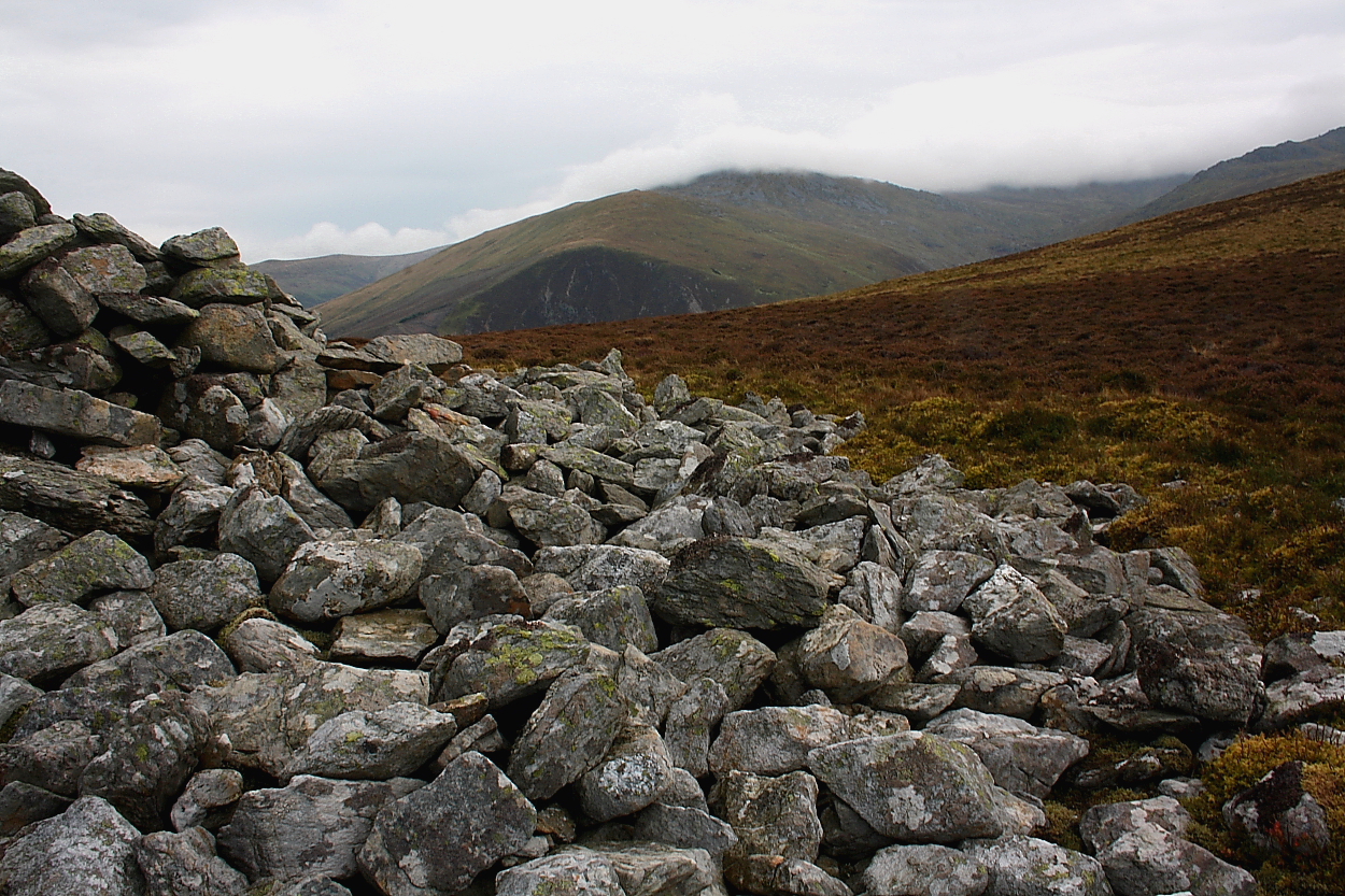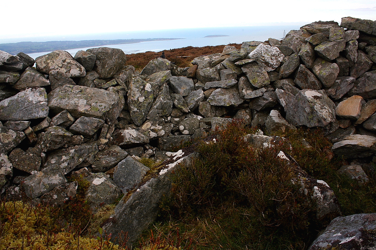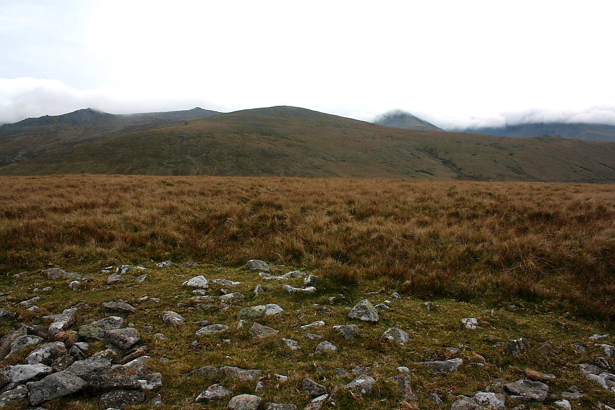


Note the moth-eaten (tough moths in North Wales... mothus monstrousus) OS triangulation pillar, centre.

The massive footprint... a random snapshot of public perception of such monuments was accorded me by a passing, middle aged woman.. ‘are you photographing birds?’ says she. ‘No, I’m here for the archaeology, the Bronze Age cairn’, says I. ‘What cairn?’ says she, clearly bemused. Incidentally Carnedd y Filiast – site of the exquisite ‘Atlantic Slab’ – can be seen approx centre skyline beyond Nant Ffrancon.

Llwytmor is the peak with its head in the clouds... Bera Mawr the serrated summit to the right.

The prominent slab suggested the displaced remnant of a cist or chamber... however in this instance there was no corroborating evidence.. wishful thinking? Note, however, the truly massive footprint. I could not locate the ‘cup marked stone’ incidentally.

Llwytmor, Bera Mawr, Bera Bach and Drosgl (left to right) form the backdrop beyond the cairn...

Clearly this was a massive cairn in terms of overall footprint... however guess the nature of the original profile will be forever more open to conjecture.

A ‘tsunami’ of cloud pours over Carnedd Dafydd beyond... Yr Elen is centre left, with the splendidly be-cairned Drosgl far left.

As is often the case with upland cairns, the surmounting muppet shelter gives a totally false impression of the original size of this monument.

I walked right past during the morning without sussing... however closer investigation reveals a pretty clear cut monument, as depicted upon the 1:25K map. Incidentally these are the power pylons that march across the northern Carneddau to Bwlch-y-Ddeufaen...

Like a vision from a Wellsian nightmare... this cairn has witnessed the rise to pre-eminence of electricity; as opposed to the subliminal power of the shaman. Yeah, to paraphrase those Germans with the glacial werkrate... electricity; is in the air for you and me.

Retrospective of the Cras ridge ascending Moel Wnion... the southern monument can be seen far left of image, the much smaller north-eastern just visible to the right of the pylon. The foreground cairn appeared kosher to me, too.... although the positioning is perhaps suspect? Marker cairn?

Funny how what is, after all, just a pile of stones... can appear to have such exquisite form?

The rucksack provides some scale... this is a big cairn; it can be difficult to focus upon the green body below the collapsed (strange, that) muppet shelters on top – but there you are.

Looking approx west, the landscape trademark Berwyn deep heather making the going – anywhere but upon the landrover track – very difficult indeed.


The grassy footprint is much more copious than I anticipated.

The loose stone forms but a small part of the surviving monument... the underlying grassy footprint is very substantial indeed.

Brightest it got all day..........

The sun shines upon the righteous; on TV, too... well according to Morten Harket, anyway. Didn’t get as far as the traveller perched upon Moel y Garnedd, however. Funny, that.

Hello my matey peeps. Llyn Tegid – aka Bala Lake – can be see beyond ‘Stadros’, innit?

Arenig Fawr and her little sister peak keep their own monuments tucked away out of sight.

Not the most upstanding of summit cairns... but facing the onslaught of the prevailing wind, that made two of us.

The remains of the summit cairn...
With such a prosaic name... it doesn’t take a visionary Citizen Cairn’d (luckily for me) to suss that here, crowning this (relatively) low hill top overlooking the northern aspect of Llyn Tegid (incidentally Wales’ most copious natural lake), we have the remnants of a prehistoric cairn.
Coflein is curiously non-committal... but not so The Ordnance Survey, depicting the monument immediately to the east of their triangulation pillar upon the 1:25K version of their unsurpassed mapping. The Gwynedd Archaeological Trust complicate matters somewhat by additionally citing a monument a little to the north-east at SH89633551:
“(PRN 6239) Low flat-topped cairn... to North East of cairn on summit. Site completely turfed over apart from eroded area around a large boulder on South East. Cairn pock-marked with several holes (now completely grass grown). Erosion on South East side reveals small stones and earth. Stones max. 0.2m (apart from 2m long boulder)... Material excavated from largest hole appears to be very strong (Smith 2001).”
So... perhaps we have more than just the one monument, then? Whatever the truth, for me the 360 degree unrestricted panorama of mountains and hills is instructive – in short, the positioning is classic, nigh on perfect. Yeah, on a clear day the views would be breathtaking, taking in The Arans, Arenigs and associated wonders; my visit, dictated by a lowering cloudbase obscuring the encircling summits, was hostile, to say the least. But nevertheless well worth the effort.

Toward brooding Trum Gelli, replete with cairns of its own.


Looking across the shy cairn to Trum Gelli...

Coflein mentions three cists upon Bryn Dinas, one of which apparently could not be located... perhaps it was this one? It’s near enough.


The cairn doesn’t exactly scream for attention, does it?... the positioning is far too exquisite. The path to Trum Gelli is obvious, the viewpoint Bryn Dinas.


The monument can be seen in the field to the left of the old church...

From the road... my intention was to visit upon returning from Bryn Dinas; however darkness had other ideas.