


The north side of the cairn and its footprint NH9638715136


Looking north west, the pond is behind the remnants of Delbog Farm. NH9638715136

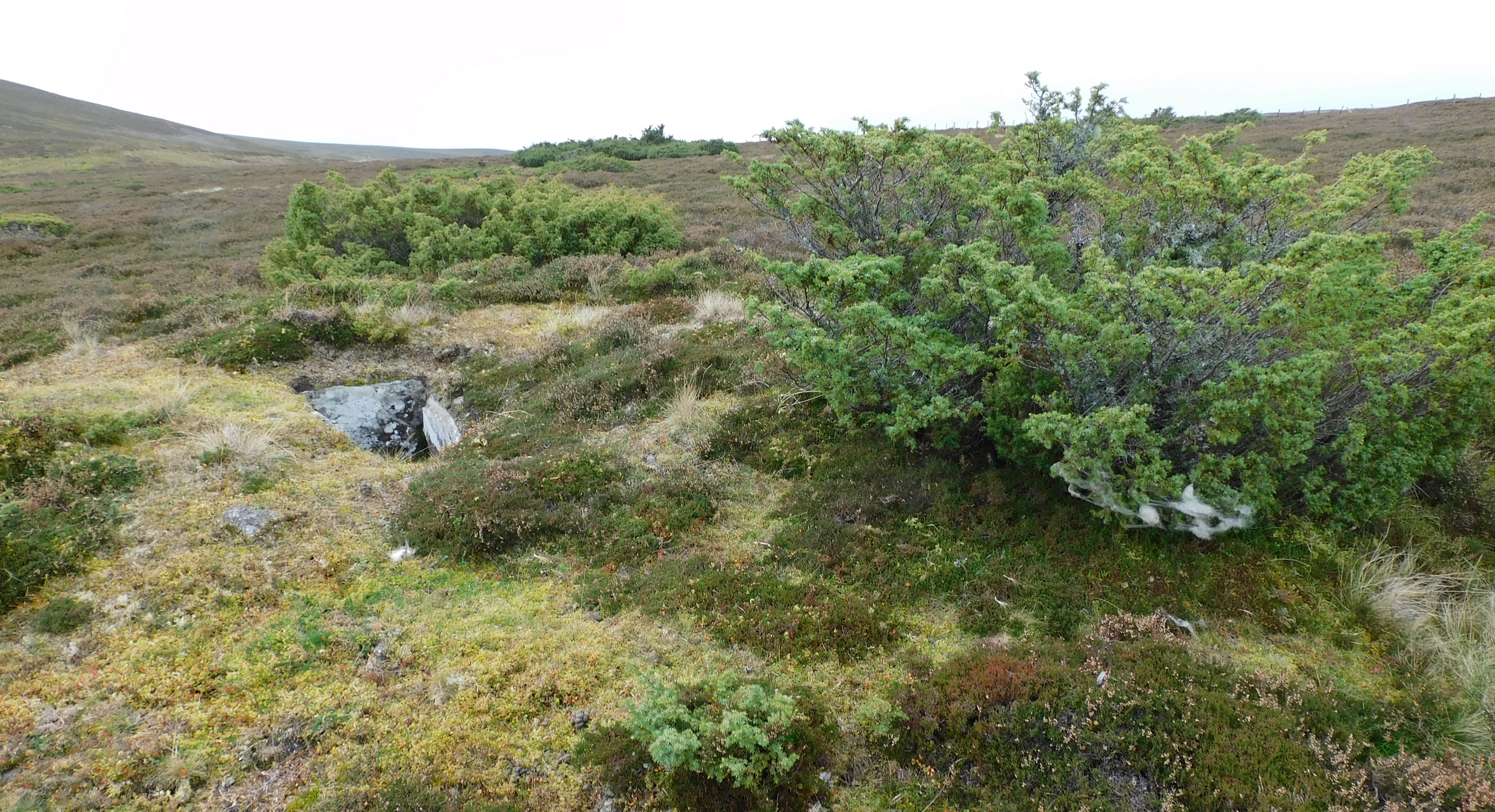
A rectangular structure has been removed, probably a cist NH9638715136

The north west footprint and once again the centre houked >b>NH9639715136

A site on the banks of an Aberdeenshire river has been found to be a hotspot of prehistoric activity.
More info :
The small wood housing Cairn Muir can be clearly seen from the massive cairn at Mains of Fordie. From Fordie’s cairn I headed back down to the track and headed east, over the minor road to walk to what appears to be farm buildings made into an industrial estate. This is called Culthill and from here walk north following a stream until the track leads to a filed. Look north and the small wood containing the cairn will be seen.
What must have been originally a huge cairn has seen some serious damage. It remains at almost 32m wide and 0.5m high. Its perimeter marked by a boundary of pebble type stones which can be seen at the southern edge. Most the cairn material has been taken away for building purposes.
Mysterious that one cairn remains almost intact whilst the other 3 have seen serious damage.
A nice wee walk on the way to Birnam.
Visited 08/10/201.
From the lodge at Glendelvine I headed north to the next crossroads and then headed west. The cairn at Mains Of Fordie is easy to spot being near the stop of a slope, it is also huge, 25m wide and almost 4m high. Sadly, it has been clipped and some stones can be seen scattered. It is mostly grass covered and rocks can be felt underfoot, some of which is probably field clearance. However, it looks like the central and main part of site is untouched. Hopefully it stays that way.
Tremendous views south, east (the site of Cairn Muir is easily spotted) and west. To the north is Fordie Hill, partially obscured by a wood.
Cairn Muir is to the east, my next destination, down through the mud bath I go.
Visited 08/10/2021.


Looking North East, the cairn’s footprint can be seen NH9640615136


The second cairn of 4 at NH9640615158, behind is field clearence.
A three-dimensional reconstruction has depicted how a significant Scottish Pictish fort may have looked more than 1,000 years ago.
More info :
bbc.co.uk/news/uk-scotland-north-east-orkney-shetland-59121017


The north side of NH9642315121, note the probable kerb, there are several earthfast stones hidden in the turf.


NH9642315121 looking north east, somewhere in the trees is Grantown.

The cairn at NH9642315121 has an almost 6m footprint, houked and what appears to be the remains of a cist.

The furthest west cairn at NH9642315121 looking west towards Coylum Bridge, Craiggowrie keeping watch.
From the Caputh Cairn head east along the A984 and take the first minor road that heads north. I parked at Lodge Cottage, being given permission to do so by the occupant. Head further north, by foot, on the minor road and look for the gap in the hedge to the east. Once this gap is found walk south east and the site should be seen reasonably quickly.
The grass covered, like its close neighbour at Caputh, site has been badly damaged. It’s height is well disguised by the grass slope but looking from a distance it is at least 1m in height being 25m wide.
At least the rain had stopped by this time, in an area full of prehistory.
Visited 08/10/2021.
The Caputh Cairn is slightly to the south of the A984 on the east side of the village Caputh, pronounced Kay – pith. I parked near the farm road that leads to Forehill.
Walking a short distance west in the wood that follows the A984.
The badly damaged and grass / tree covered cairn sits at 24m wide and is 0.6m high. The centre has been houked.
If the view was minus the trees clear views to the River Tay in the south.
On a nice day would be a nice site, on damp rainy day it was still a nice site.
Visited 08/10/2021.


Looking south west, on the other side of the River Findhorn, the cairns at Dalarossie.

The cist in the centre of the cairn viewed from the east.

One of the north west kerbs says hello as does the top of Tom Na Moine to the north.

Rain is coming down the valley and Carn A Seanalaich is to the west.

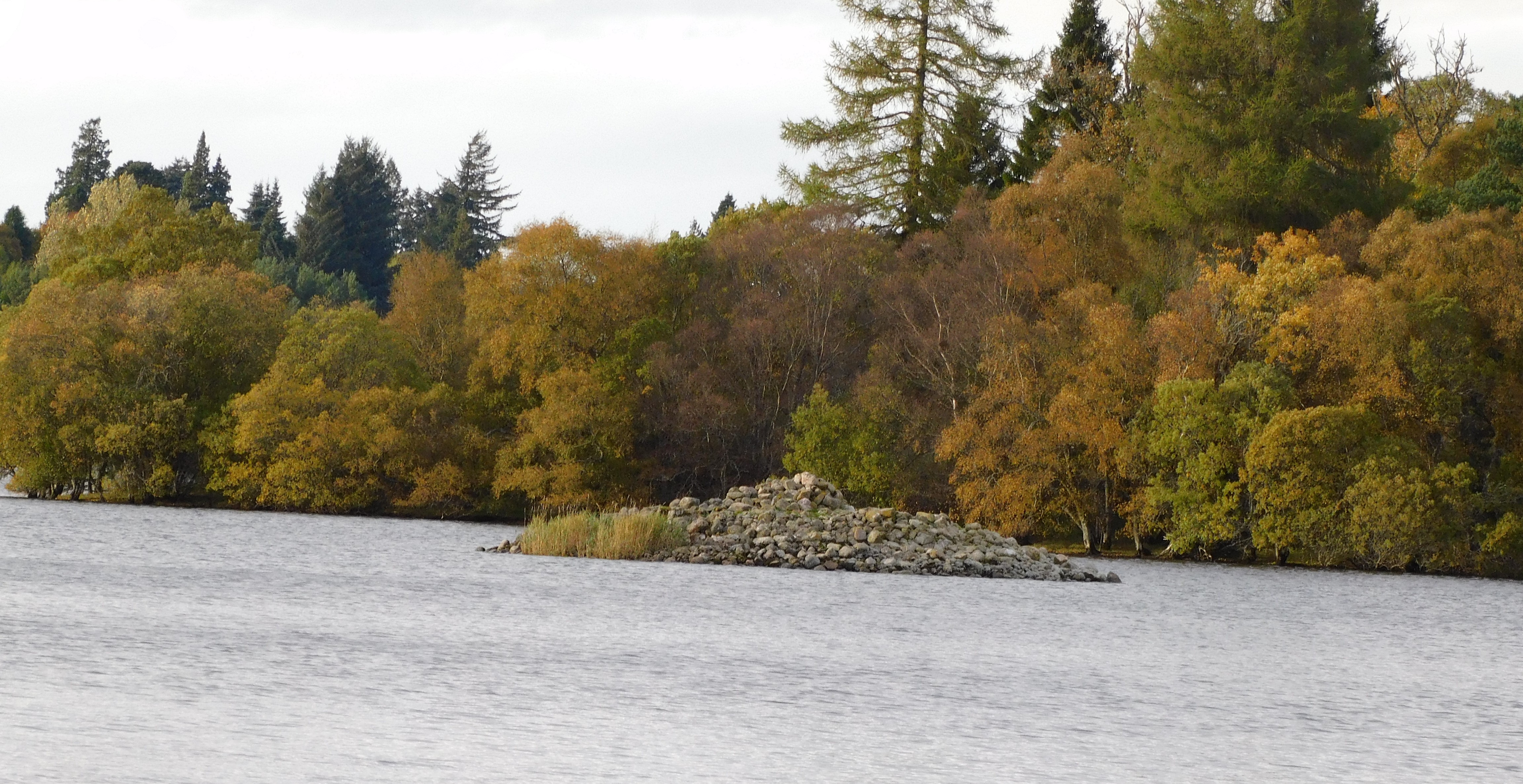

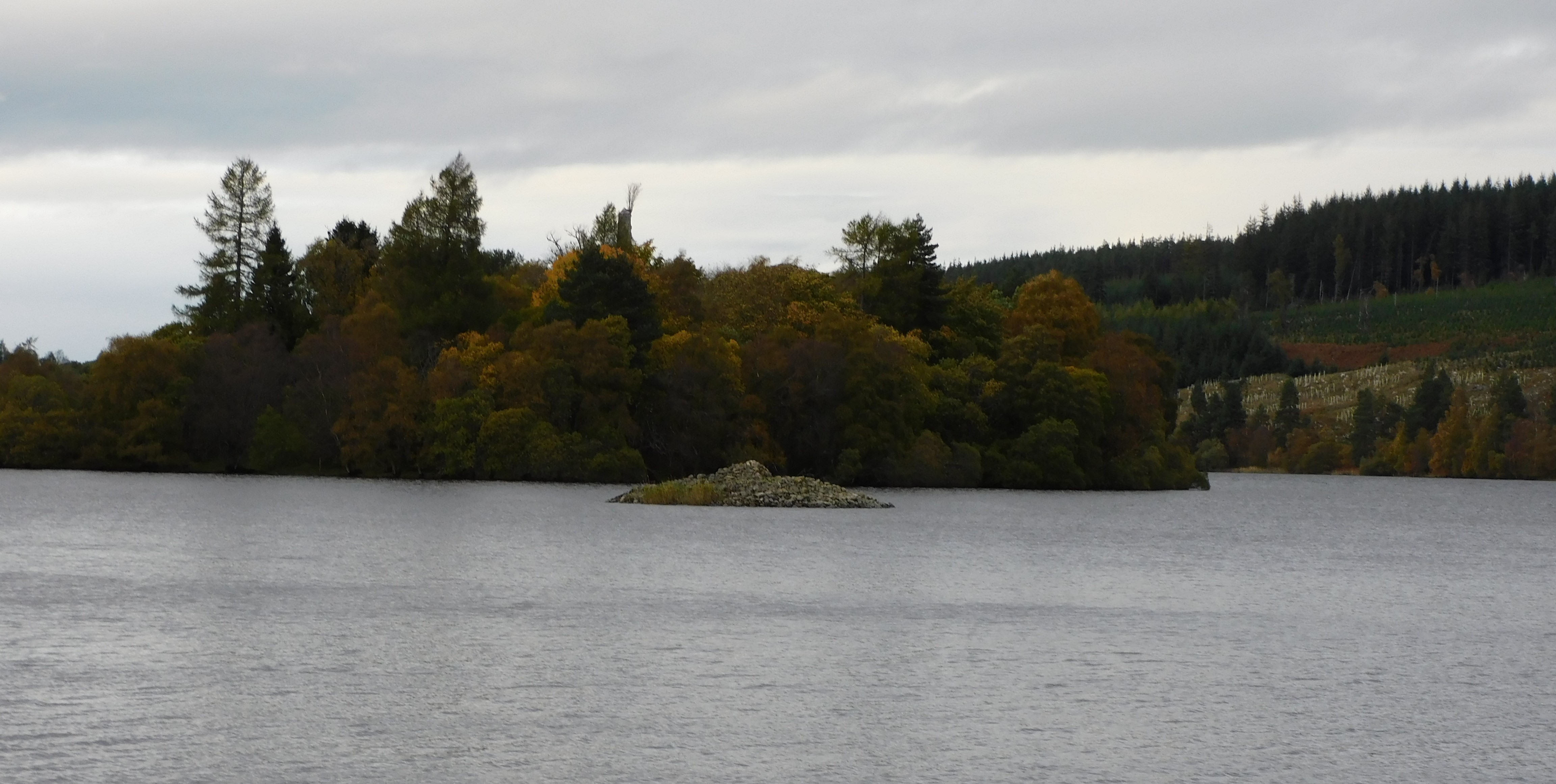

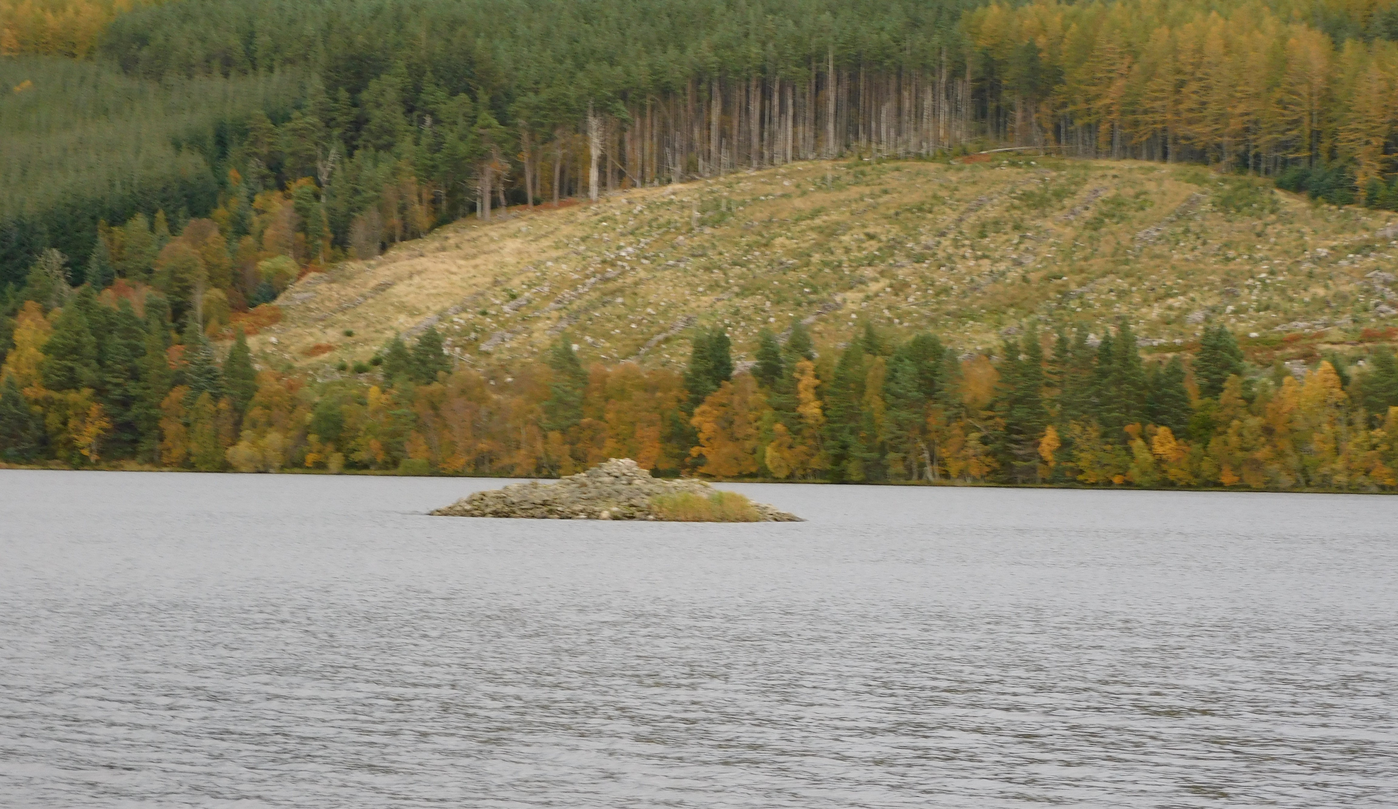


A stupid sign saying don’t enter the field, and for a change to obeyed the sign as I was heading back to Turriff and couldn’t be bothered having a squabble if caught jumping the fence or opening a gate to an empty field.
Stunning views down Loch Linnhe and Creag Ghorm in the south remind me that it has been a while since I traipsed round this area.
Looks like a return visit to an area I’ve driven past many times heading to the ferry port of Oban.
Visited 29/07/2021.
Rockandy found an easy route to get to Strone, leaving from the standing stone at Sannaig I thought I’d found an easy route as well.
From Sannaig I headed back down to the track and headed south west until the track ended. So cross country I went through forest quite often slipping downhill on my backside. However, eventually I headed westish to see a wall, fence and an old bothy, in the distance Strone Standing Stone.
Fortunately, I found a gate so save any jumping of fences. Luckily, there hadn’t been any rain or underfoot would have been very boggy.
The impressive stone stands at 3m tall, the strange thing being that despite walking round the site several times I didn’t find its fallen friend.
Superb views especially to Poll a Cheo, the bay to the south. Close by are a chamber cairn, cairn and a cist but time had beat me and an appointment at the Jura Hotel had to be kept.
So the last visit to site on Jura this trip, plenty more to find. Next time!
Visited 28/07/2021.
Archaeologists believe fingerprints on fragments of clay found in Orkney were left by experienced potters and their young apprentice 5,000 years ago.
More info :
bbc.co.uk/news/uk-scotland-north-east-orkney-shetland-59036887
From the fort at Creag An Dunan I headed back to the main track and followed it until it came to Sannaig, a collection of a long empty township and rusting machines. When this track meets another track head north east continually looking north west, here you’ll find/see a couple of tracks made by visitors to the stone(s).
Originally this would have been part of a stone row with three stones. However two have fallen and are gradually being covered in moss. A gentle restoration would be nice for the intact fallen stone, sadly the third stone appears to be broken.
Set in a nice open space, this is a beautiful site.
Visited 29/07/2021.

The remnants of the original necklace, full description on the video.