



“Here…occupying a small knoll known locally as Greenfield Knowe, towards the western end of the plateau…two upright standing stones of boulder character formed a conspicuous feature. They were, if tradition be accepted, the survivors of a larger group. The same tradition records that the farmer of Greenfield Farm, requiring stones for the erection of dykes, removed some of the standing stones from Greenfield Knowe. He, however, speedily found unexpected difficulty in carrying out his intentions. The dykers whom he had employed absolutely refused to use the stones, alleging they would thereby bring misfortune upon themselves and families, , and threatened, rather than risk such calamities, to throw up the job.
“While in this quandry the farmer, it is said, had a vision: a ghostly figure appeared to him, and in a hollow voice warned him against interference with he stones on Greenfield Knowe, and concluded by the adjuration, “Gang ower the howe t’ anither knowe.” Needless to say, the farmer lost no time in obeying his ghostly visitor. Next morning he carted back the stones he had removed and sought material for his dykes elsewhere.”
Mr Hutcheson (1905)
“About the beginning of the present century, when a worthy old parishioner was having some repairs carried out upon his house, he removed a few of the large stones with the intention of having them built into the walls. Throughout the night, however, an eerie feeling came over him, his conscience was on fire, he could get no rest. Accordingly he got out of bed, yoked his horse into the cart, and like a sensible man replaced yjr sacred stones where he found them, went home, and thereafter slept the sleep of the righteous.”
W.M. Inglis (1888)
“two in number: one, an upright pointed stone, 5ft by 2ft by 3ft 6in high; ans the other lying 3ft 6in to the southwest, 7ft 6in by 5ft by 2ft 6in thick. The latter has fifteen cups, varying from 2 to 3in in diameter; one with a single ring carved on the sloping face at the south end of the stone. It lies horizontally and has two hollows, worn at the ends where the cups are, by the toes of persons climbing onto the top. The ground under this stone has been partly removed and it appears to rest on two others; but the whole appears to be natural and not a cromlech or rocking stone.”
W. McNicoll


Greenfield Knowe
Two upright standing stones formed a conspicuous feature on a small knoll known as Greenfield Knowe. They were what remained of a larger group of stones that the farmer of Greenfield farm had removed for building dykes. The dykers, however, absolutely refused to use them, alleging that they would bring misfortune on themselves and their families if they did so. The farmer is said to have had a vision of a ghastly figure who warned him against interfering with the stones saying “Gang ower the howe t’an other knowe.”
Auchterhouse Community
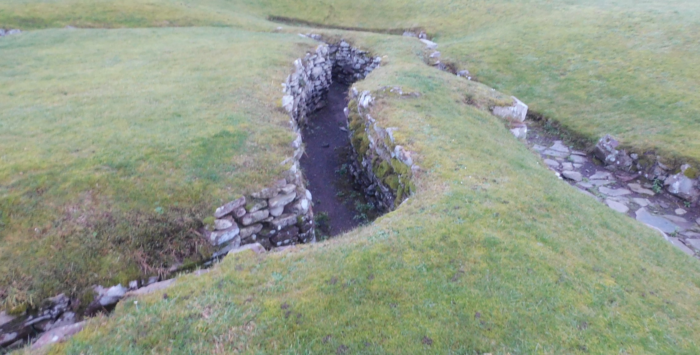
It has sometimes happened that, long after an underground house has ceased to be occupied, new settlers of another race have built their houses directly above these concealed retreats, quite unaware of their existence. Thus, at Airlie in Forfarshire, a cottage was supposed to be haunted because oatcakes, baking on the hearthstone, occasionally disappeared from sight in a mysterious manner. It was thought proper to pull down the cottage altogether, and then it was accidentally found out that the hearthstone was the roof-stone of an underground house, into which the cake had fallen through a crevice. Nobody had thought of lifting the hearthstone before proceeding to the extremity of pulling down the house. That was in the eighteenth century.
Stories of the Mound- Dwellers’ in The Celtic Review
David MacRitchie


The rucksack indicates the start of a rampart on the south side.

A gap in the vegetation, used by shooters, also reveals stonework for the defences, this goes north and south and in parts is 1 meter high.


The gap in vegetation reveals a small amount of rampart, on the south side.

Look closely and you’ll see the fence goes over the top of defences.


About 600m E of the present investigations at
Pitkerro is the upstanding prehistoric mound of Cairn
Greg on the Linlathen estate, excavated in the 19th
century and found to be of Bronze Age date but reused in the Pictish period (Stuart 1866). A Pictish Class
1 symbol stone was found at Cairn Greg (Stuart 1866,
101) but is now lost.
Ray Cachart and Derek Hall
However
Cairn Greg was excavated in 1834. The central cist rested on ground level and neasured 4’10” x 2’9” x 2’10” deep, and the joints were luted with clay. The large capstone, 7’ x 4’6”, was separated from an upper capstone by a layer of soil 1’ thick. In the cist were a rivetted dagger (present whereabouts unknown), and a beaker – type S4 – now in Dundee Museum. A fragment of a Pictish symbol stone is said to have been found between the capstones, and removed to Linlathen House.
J Stuart 1867; A S Henshall 1968; D L Clarke 1970.
But
Herbert Coutts’ ‘Ancient Monuments of Tayside‘
The stone was displayed in the grounds of Linlathen House at least until the 1950s. The house was abandoned shortly after that, largely due to damage caused by billeted troops during the war.. The central part of the house itself was demolished in 1958 and both wings followed in the 1980s. There is now a nursing home on the site. Most of the rubble was buried in a quarry to the north.


These look more like cist covers than kerbs.................


The east side has a mixture of cairn material and field waste.
