


Looking north west, Strathpeffer nestles in the valley below.


Strathpeffer Biography
The Great Hero of the Gaels was Finn mac Coul, Fingal of the tales of Ossian. That the old fort would provide a suitable abode for mac Coul’s heroic companions was obvious, and fertile imaginations would use other local features in adapting old tales and inventing new ones. For instance, the great standing stones in the valley had to be explained. So stories readily came to lips of how the ancient warriors used to engage in trials of strength, tossing rocks over the Strath. But even in those days it sometimes happened that the weather spoiled people’s sport, and when the footholds were slippery the stones, instead of clearing the valley, landed deep in the hollow. Look, there are the finger-and-thumb marks of the giants on that stone to this day!
Strathpeffer Biography
What of the signs of burning on the fort walls? From these arose the tale of how the giants went a-hunting to Nigg accompanied by their dogs, of which Finn’s favourites were Bran and Sgeolan (pronounced Scolaing). Garry, a dwarf (only 15 feet tall), was left in charge at the fort, much to his annoyance. He gave vent to his displeasure by storming at the women, and then, going outside, stretched himself on the grass and fell asleep. The women took advantage of the opportunity to peg the plaits of his hair to the ground so effectively that when Garry awoke he nearly scalped himself in trying to pull himself free. Now in a furious temper, he barricaded the women and children indoors and burned the fortress down. From afar the warriors saw the blaze and vaulted home on their spears. They caught the fleeing Garry and offered him the choice of death. The vindictive dwarf-giant chose beheading with his neck on Finn’s knees. Needless to say the ensuing blow not only killed Garry but mortally wounded Finn. So the desolate giants, bereft of wives, offspring and leader, realised that their rule had come to an end and decided to depart. Bearing the body of the mighty Finn to the Craigiehowe Cave at the mouth of Munlochy Bay, they entered, laid down their burden reverently, arranged themselves around and fell asleep. . .
Centuries passed. Then one day a shepherd chanced on the cave and, going inside, saw before him the giants and their hounds stretched out in all their barbaric grandeur. Above the door there hung a hunting horn which he tentatively took down and put to his lips. As he blew he noted with alarm that the giants’ eyes were now open but as otherwise they did not stir he risked a second blast upon the horn. With this the giants sat up resting on their left elbows. Unnerved, the shepherd fled with the anguished cry of the only half-liberated sleepers ringing in his ears: ‘Dhuine dhon dh’fhag thu sinn na’ s moisa na fhuair thu sinn.’ (‘Wretch, you have left us worse than you found us!’) An interesting feature of this tale is that while in Irish legend Finn’s life is terminated at the ford of Brea (Bray), in the Highland Scottish version this event takes place on the hill above the Brae Fiord or, as it is now known, the Cromarty Firth.
HAUNTING THE FODDERTY STONES, KILVANNIE HOUSE AND TULLOCH CASTLE
In about 2006, lots of curious tittle tattle was circulating around the Edinburgh LGBT Community about what might really be happening at Tulloch Castle. A young musician from Midlothian called Cameron. even said something about a Druidic circle. Following strange meetings in Edinburgh with Cameron and Walter Mitty (see below) in 2018, I’m inclined to believe Cameron and lots of other weird stuff he told me many years previously. But where is the Druidic circle? It certainly isn’t in the grounds of Tulloch Castle.
A distinguished-looking Walter-MItty-esque friend of Cameron with an apparently appropriate apparent surname (who’d previously thought that he was head of the Samaritans and now thinks that he’s an eminent professor) said that his family seat was in Tulloch Castle, added further to the mystery by setting me a strange puzzle concerning politicians being taken on trips to these climes, and sent me all sorts of weird documents and messages in Spanish, I was, however, never able to get to the bottom of it! A graduate in History and Politics called Jason from Stirling University had previously told me (in the Summer of 2000) about Edinburgh-SNP-organised ‘hunting trips for prey’ for politicians and VIPs to the Inverness area and I regard his information as reliable. Maybe these strands of information can be pulled together by considering my 2021 blogpost. In other words, have various politicians and VIPS got together for gay fun and frolics on the Fodderty Stones (not all of which are at Kilvannie House)
Thomas Hoskyns Leonard Blog

If the trees didn’t obscure the view to the south you’d see Knock Farril Hillfort


South looking north, the cairn can just about be made out.


Looking south west, the outline of the cairn can just about be seen.

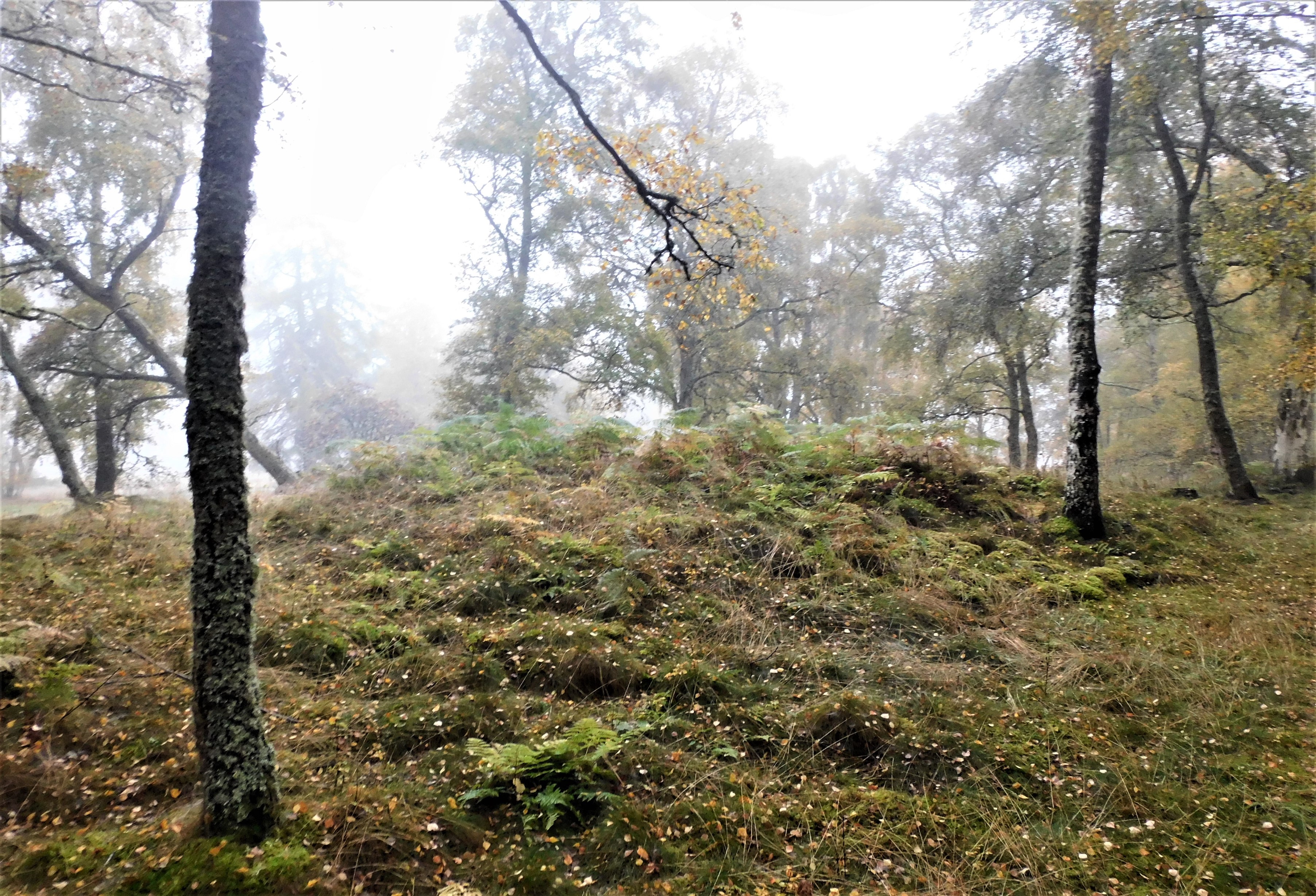
Looking north, the mist still hanging about, large kerbs, some of which have been moved.

Approaching from the south east, the cairn is in among the trees.
You can’t really miss the Dun on Vatersay once near the village and cafe, it rather obvious. We approached from the south.
Although very ruinous there remains a few remnants of the defences. The west defence is natural whilst foundation stones reveal the shape of the site in the north, east and south.
Once again spectacular all round views.
Another beautiful site.
Visited 14/07/2022

A brilliant painting by my good friend and guitarist Steve Inglis.
Another one of these confusing stone settings worthy of mention. From the nearby cairn keep walking north towards the dun. To the west of the main path is this possible four poster, with an added boulder to confuse matters.
Whatever it is, it is impressively sited, with stunning views north. Like T, I discovered a load of these sites, Brannigan’s book is good but doesn’t help in finding the sites. Still I’m pretty sure I’ll be back and I’ll take his book next time.
Beautiful site.
Visited 14/07/2022.
Walking north from Cuithe Heillanish you’ll see loads of peculiar stones and shapes. One of the more definite is this 6m x 1m cairn, Brannigan counted 9 kerbs, I counted 13.
Nice site, great views north towards Castlebay and the hills beyond on Barra.
Visited 14/07/2022.


Ignoring the walk on the notice board we went via Bienn Chuidir and then headed west in an attempt to find standing stones that proved invisible. Undaunted we climbed over the east side of Beinn Ruilibreac to walk into a small valley then headed south. By this time direction posts had come into view, also into view on a small ridge appeared the standing stone, Cuithe Heillanish.
The stone stands at 1.7m high having great views to the islands south of Vatersay. An enclosure or dry stane dyke seems to have included the stone.
Fine looking stone!
Visited 14/07/2022.


Loch Nic Ruaidhe has been near the top of the places to visit list for a long long time. From Nam Bodach I headed back up to my parking place and then headed west. This proved be a slog through fairly boggy ground with dry parts every now then. Despite the fairly short distance it is an exhausting walk, it is all worth while when you reach the shores of Loch Nic Ruaidhe.
The dun is in front, despite the clouds the weather had held, it was a glorious sunny evening. Better still, the walk round the north of the loch proved to be dry. Remaining traces of built wall can be best seen on the west side, the rest has fallen but indicates that an impressive wall was here at some stage.
From my position on the north bank I could see the boulders mentioned by Canmore that could indicate a causeway. A causeway that looks like it was never completed.
Looking west the hills of Bhirisig and Corra Bhienn behind which are some of Barra’s best prehistoric sites.
Making my way back I chose an alternative route nearer the River Ob, this proved equally boggy, worse was to follow as I fell down one of these holes which seem to be only wide enough for one person. A nasty scare when you end up waste deep in an ancient bog. A slow trudge back to the car where fortunately I had dry boots and clothes.
Still, a great site, stunning scenery.
Visited 13/07/2022.
Plenty room to park at the entrance to some masts at Balnabodach. From here I walked back north on the A888 and headed north east to the promontory at Bodach/ Loch Ob.
For a change Brannigan, or more likely Canmore managed, to find proper grid refs.
There appears to be a wall in the north bank, and a wall to the south. Sadly ferns and other long vegetation cover the interior. Watch conditions underfoot as boulders make an excellent trip hazard.
Visited 13/07/2022.
On the rocks at the bottom of the dun / broch’s east side there are at least 7 cup marks approximately 7cm wide by 1cm deep.
Report sent to Canmore.
Visited 13/07/2022
After parking at Barra (International) Airport I walked back down the road and retraced my steps back to the cairn at Suiachan, then jumped the fence and followed the coast line south. With heavy overnight rain I’d put on wellingtons and heavy duty wets to keep myself dry as the route to Suiachan had long grass. This proved to be a slice of good fortune as when I reached Dun Chlif the tide was still high. It didn’t stop me, I waded across onto the island dun.
Another of these possible dun or brochs, I thought the walls wide enough for a broch but the location maybe to small. It is impressive and with a carnyx, Iron Age wind instrument, shaped stick stuck in the middle making the the site feels old. However, it was a long way from being isolated as cairns to the north and south prove.
On leaving something caught my eye, cup marks.
Visited 13/07/2022
A woman who lived in Orkney 1,800 years ago had a diet that was unusually rich in seafood, say archaeologists.
More info :
Archaeology Shetland has found 6,000 years worth of archaeology in the isles, but one hotspot in particular faces going underwater.
More info :
Archaeologists believe they have found a place where some of Scotland’s last hunters-gatherers may have paused on a journey through the Cairngorms.
More info : bbc.co.uk/news/uk-scotland-north-east-orkney-shetland-63158291
A couple of days before I parked in the same place, on that occasion to walk south to climb up to Dun Sgurabhal, which confusingly isn’t on the hill of the same name. On the north side of Beinn Sgurabhal there is a small cairn with stunning views. From my parking place I jumped the gate and climbed Beinn Sgurabhal accompanied by several very polite cows and squally showers.
Immediately north is the island of Fiaraigh, and further North East – Eriskay and South Uist.
The cairn is suffering with erosion caused by high winds, torrential rain and various cows. A kerb remains on the north side, however some stones have fallen down the rock plate immediately in front. What remains is over 4m wide and stands at 0.5m high.
Time and nature might reclaim this site but at the moment it has stunning views.
Lovely.
Visited 12/07/2022.

North entrance, the weather had been kind, on a slightly rougher day no chance. Very exciting end to the hiking around Barra, Vatersay and Mingulay.

The north end of the arch, daylight and clear sea suddenly appears.


A gap in the arch, if you could climb up there and walk a short distance Dun Mingulay would be reached.

A closer look at the entrance before overhead is dark.

It almost takes all sense of reality away being in here, it’s like a huge cathedral but silent.
