


Looking east from well below the cairn on the western side.

New clues have emerged in what could be described as the world’s oldest murder case: that of Ozeti the “Iceman”, whose 5,300 year old body was discovered in the Italian Alps in 1991.
More info :


The famous Neolithic village of Skara Brae has been voted as one of the UK’s ‘must see’ attractions.
More info :
bbc.co.uk/news/uk-scotland-north-east-orkney-shetland-17013307
More details of a second archaeological dig in April.
More info :
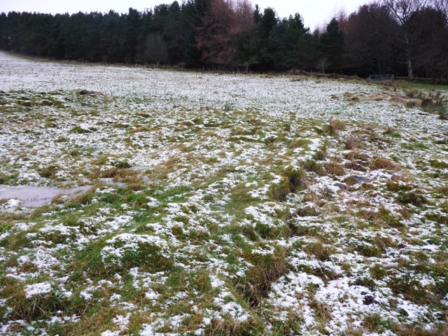
Cairn Mude has escaped my attentions in past due to the weather, running out of time or like yesterday (3/4/2012) gale force winds, blizzards and flying buckets. This was the fourth attempt and today it was much calmer and with supplies from the Alford baker I headed east from Lumphanan on the A980 taking the first minor road south to Kincardine O’Neil. I pulled in after Colliestown.
Head along a track, north west for about a 1/2 mile then head into the woods, south, for a further mile (approx) until a crossroads in tree breaks. Head east and the much ruined cairn is found in a clearence. Still it stands at 13 meters wide and a couple of meters high. Sadly wide trenches have been cut through it, even more sadly I’d left both my phone and camera in the car instead of in the rucksack. So I’ll have to go back, no problem as I now know a shorter route.
During my first attempt the farmer at Newton, home to ring cairns, told me that dead soldiers from Macbeth’s army were burned on the cairn. On that occasion I was beaten back by thick vegetation and ended up getting lost.
This time I decided to climb to the top of Stot Hill and managed to get lost on the way back down. Somehow I almost ended up in Lumphanan, but found my way back via the public stream, more commonly known as a footpath.
Visited 4/1/2012.
Site details. Funny why Canmore spell this places name differently to everybody else including the locals.
Clashholm is situated in a glen on the eastern side of the B9119, from the A980 head east at Crossroads (a pub) and stop at Cloak Wood. Walking past this wood reminded me of a tip whisky bottles, old bikes and some gas cylinders littered the wood. Just beyond the wood, jump the fence and head towards the bottom of the glen. The two hut circles are enclosed by a wall (rather ruined) and could easily be spotted amongst the snow. It’s shame the wall is in such a condition as beasts will probably trample all over this monument. Anyway for the moment they are still here.
Visited 4/1/2012.

From the bottom of the glen looking back up to the hut circles.

NJ59760718, the hut circle looking north.

The southern wall of NJ59760718.

NJ59760718, the southern hut circle.

NJ59730722, looking south eastish.
NJ59730722, the eastern wall of the hut.

Hut circle NJ59730722, the puddle is on the eastern side.

Looking down on the hut circles from the B9119. Benaquhallie in the background.
A pic of the reconstruction of Strichen roundhouse.
Climbed up from the west side parking at Knockenbog. From there I used the path then climbed the fence and went straight up. For 3/4s of the way it was fairly long tough heather and jabby things but after jumping a ditch the heather becomes fairly short making it much easier to reach the top. At the bottom it was calm. At the top a major gale blew with occasional hail for good company. Still the trig provided cover for a wee sit down and a chance to admire the scenery before clouds and darkness moved in.
The small circle, same as Theolonius, wasn’t there the last time I was here but it looks very pretty with it’s little outlier. A couple of cairns are at the top, one a climbers cairn and the other a memorial to a youngster from Aberchirder who died tragically young.
Visited 2/1/2012.

By this time the wind had moved down just very severe. Looking south west.


Looking north west towards Buckie and the Moray Forth.


Oakenhowe is on the hill to west. This taken from Knock Hill western side.


On the 4th January at 7.30pm the Garioch Heritage Society have Colin Harris speaking about Dunnydeer (hillfort, stone circle etc) and Wardhouse (ancient settlement, cairns, RSCs) in the Neolithic. Venue – Acorn Centre, Inverurie.
(Hopefully the bhoy will make it and report back)
A cropmark enclosure at Sherriffside, Gifford in East Lothian (NMRS NT56NE43) was first identified in 1981 as a double ditched enclosure representing a ploughed out and flattened hillfort whose ditches survive below the ground and affect the growth of crops.
More info on booking a place on the 2012 excavations:


A Causeway man is facing a possible 5 year jail term etc etc.
More info :
kerryman.ie/news/man-faces-jail-for-demolishing-ancient-ring-fort-2949787.html
These stunningly beautiful glass beads with intricate spiral patterns are known only in the North East. Who made them and why?
More info :
I’d have to say, sadly, anybody wanting to find this cairn would be wasting their time. The cairn has been covered in field clearence and is now covered in turf and weeds. A small mound near the road is all that remains.
Going south from Dufftown on the B9009 taking the minor road east after Aultbeg, after a sharp corner the road heads south. I stopped at Croftburn and walked down a forestry track till a crossroads. The cairn is supposed to be in northern quadrant. Sadly this cairn has been almost consigned to the prehistoric rubbish dump. Almost a pity the flood didn’t do a better job :-(
Visited 14/10/2011.
