An Iron Age hillfort in south Shropshire was six times larger than originally thought, archaeologists have discovered.
More info :
An Iron Age hillfort in south Shropshire was six times larger than originally thought, archaeologists have discovered.
More info :
Volunteers who helped make two Bronze Age-style log boats by hand will discover whether they float during a celebration event.
More info :
Two axe-heads, which are believed to be more than 4,000 years old, have been sent to the National Museum of Ireland by an anonymous letter writer.
More info :
From Dun Na Doide I headed, north-east, back to road and jumped the fence near to concrete structures and headed to the pointy hill in front. It’s a reasonably steep climb with glorious views. I approached from the south west, don’t approach from the south east unless you bring climbing gear.
Sadly a plague of marker cairns has broken out on the Loch Sween side of the dun / fort, up to 30 according to Canmore. Directly below is Castle Sween, a cairn and a huge caravan site. No guessing who put up these stupid cairns.
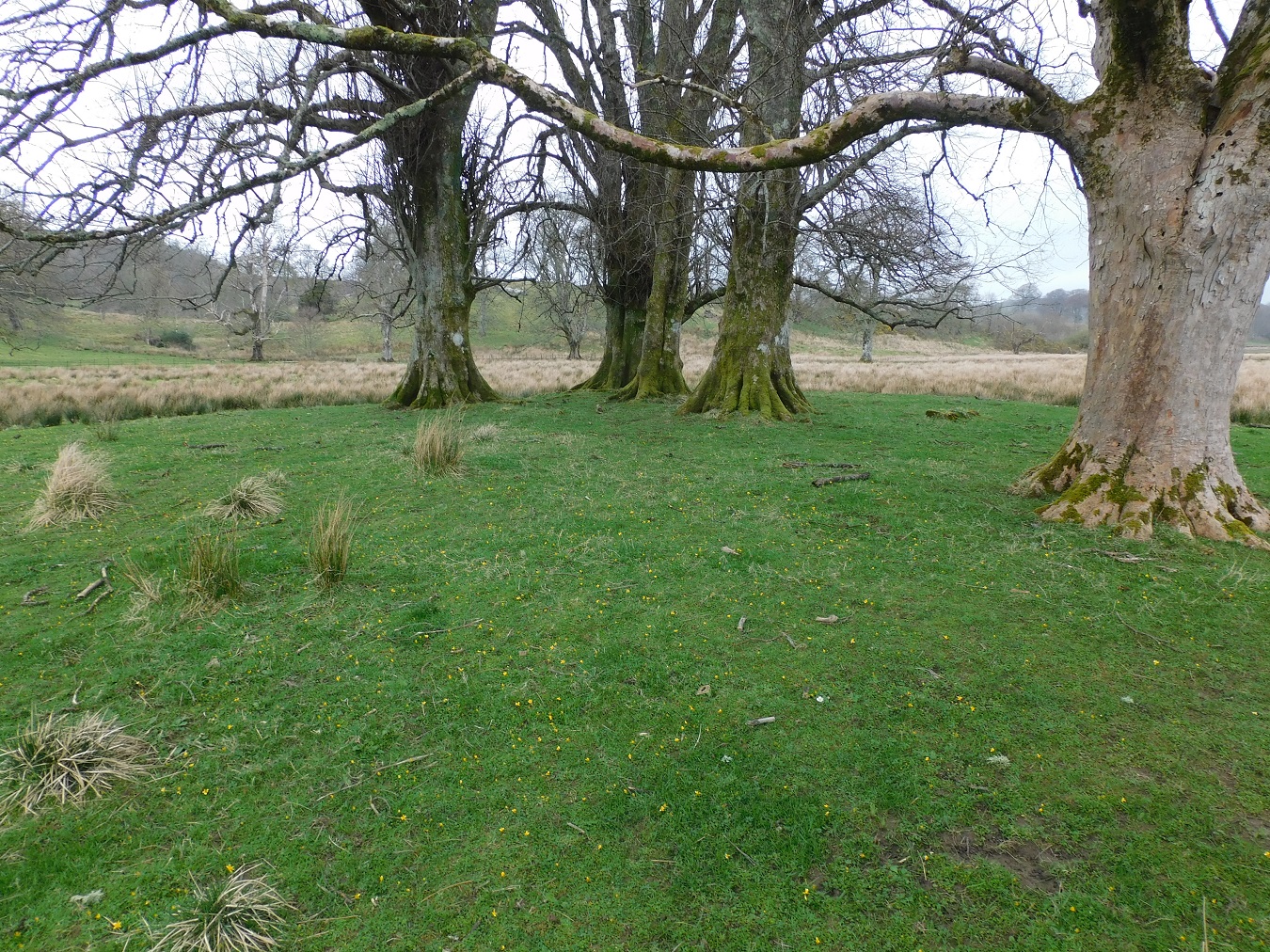
The dun started life as a 17m wide site but over the years it increased to 36m by 15m, an oval shape. Well built walls survive in the south west, almost 2m high, on the east a small rubble wall remains. Also on the west a tumbled down wall offered further protection.
Canmore doesn’t offer a solution to entrance, I think it was in the south west but I guess we’ll never know unless some serious ‘digs’ take place.
Fantastic site, but why oh why build these stupid markers cairns.
Visited 08/04/2024.
The final season of excavations at a famous archaeological site in Orkney is under way.
More info :
Just to the north of Doide (a small house) there is a suitable place to park near concrete structures used for agriculture, handy, because it is between the hill fort at Dun Na Doide to the south and the dun / fort at Dun A’ Chaisteil to the north.
For Dun Na Doide I walked south past the house at Doide, entering a field heading south west towards the only hill next to the coastline in this area.
Despite all of the very wet weather the ground proved to be remarkably dry, marshier parts near the bottom hill can be crossed without getting to wet.
I approached from the northern end of the fort, an outer wall still exists, badly robbed. The best remains of wall at the fort are on the north west heading south looking onto Loch Sween. On the other side of Loch Sween are also many prehistoric sites.
The fort covered most of the hill top, being oval in shape with a single wall providing the defence. Probably the entrance was by the route taken from the north were a hollowed section is in place.
Good views north, on the banks of Loch Sween – Castle Sween (and its caravan site), to the east of the castle is the steep climb to Dun A’ Chaisteil, my next destination.
Lovely site.
Visited 08/04/2024.
Dartmoor National Park Authority is to spend £90,000 excavating what experts believe is a Bronze Age burial chamber.
More info :


The ridge behind has two cists and a fallen standing stone, plus probably quite a few other sites.

The remains of a wooden well dating back to the Bronze Age have been discovered during works to build a new road.
More info :


A tree giving a reasonable impersonation of a monster.


The last monument on the ridge before heading downhill.
Curators are “devastated” after gold objects dating back 3,000 years to the Bronze Age were stolen from a museum.
More info : bbc.co.uk/news/articles/ckmjpep7x6go

Looking north east, the stone would have looked down onto Kilmartin Glen.


Removed from its original position and left here.


Despite its condition, there is something magical about Kilchoan.


Some stones in the right place, some in the wrong place.


The second last leg of the a circular walk took me back to the road, heading east from Ardnaw Cairn, to walk southwards down the hill past Kilmory Chapel. Walk past the house surrounded in trees and the hillfort will be easily spied. It is an easy climb, east, to get to fort, best approached from the north-east.
The east defences are a cliff, part of the north east defences are similar – the entrance to fort is also in the north east – it’s not very steep, a gentle slope.
Massive walling, in places over 3m wide, at some stage surrounded the oval shaped site, 26m by 18m. As per usual in these parts a marker cairn was built on top of the southern wall.
Tremendous views into Kilmory Bay, over to Jura / Islay and north to the sea lochs.
Visited 08/04/2024.
Dig Alderney are set to begin excavations at the western end of Longis Common next month.
More info : bbc.co.uk/news/world-europe-guernsey-68923495


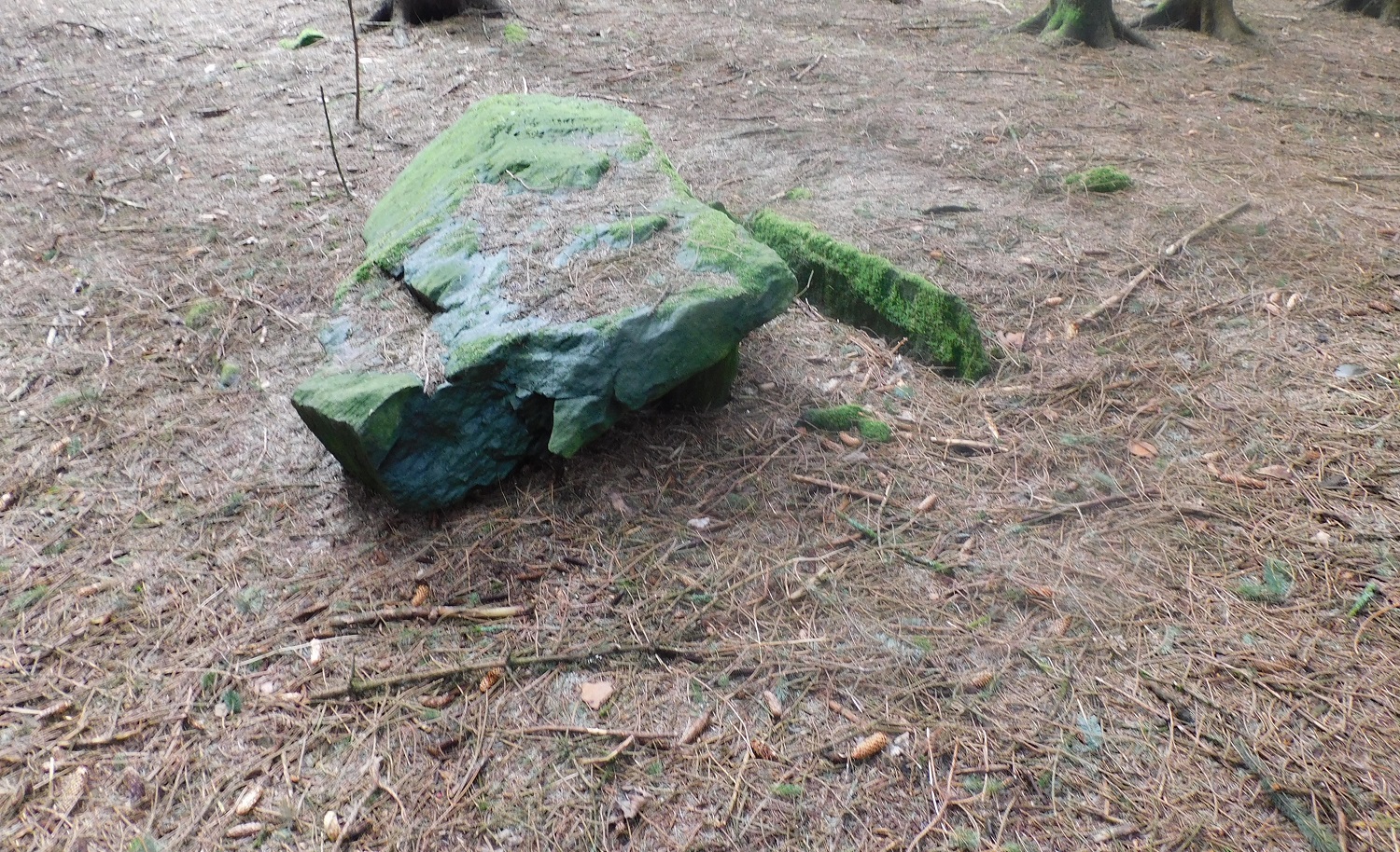
Looking north west, the cover stone rests on the east slab, the north slab missing.


Look very closely, other features might be spied beneath the water. Snorkel next time :-)

This gives, I think, the best view of the top of the slab.

Our attempt to land, after the successful visit to Eilean Mor, was foiled by a change in wind direction.