This double row with terminal cairn and a former cist is an interesting one as it has been incorporated so to link 2 later enclosures. There’s also a hut circle touching it near the northern end. The row was originally about 225m long and runs North-South.
Billy Fear
The row is about 500m long and has a ring cairn at its southern end, a fallen terminal pillar at its northern end. It is intersected by a leat and a field wall in the northern section.
The summit cairn is incorporated into the bedrock outcrop. There are 2 large slabs errected on the south westerly side. The cairn is part of the Pupers Reave.
This is a much re-shaped cairn with no apparent organised structure, and some doubt its antiquity.
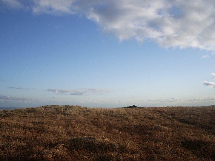
Non the less the view is spectacular, one my favorites.

View from the possible “comet” stone looking NW.
05/12/09
Image credit: Billy Fear
This once rather large circle has only 4 stones remaining upright situated in the south-east. The circle probably had a diameter of around 25 m. 100 meters to the South East is a possible standing stone of 1m height. Apart from this there seems to be no other pre-historic structure close by.

I measured the stone at 2.30m above the packing stones. It is one of probably only 4 menhirs on the Moor that appear not being part of a row or other complex.


Looking South with Eastern White Barrow in the left background.
31/10/09
Image credit: Billy Fear


Snowdon is made up by 4 cairns running roughly North-South. They are a prominent horizon feature viewed from the East as far as Ashburton.
The cairns increase in diameter towards the South and the 3 southernly cairns are spaced about 120m apart from each other, whereas the northernly one is about 175m away from the nearest neighbour. The most northenly cairm is not on the OS map.


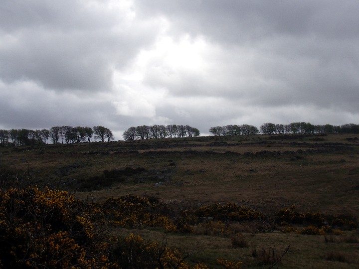
Cairn circle with row in background looking North.
23/10/09
Image credit: Billy Fear

Terminal cairn at the Northern end.
23/10/09
Image credit: Billy Fear


On the Northern side of the cairn is this more modern shelter.
Image credit: Billy Fear

Looking N towards the end of row.
04/05/2009
Image credit: Billy Fear

Looking E
04/05/2009
Image credit: Billy Fear
Looking SW from the other side of East Dart River.
04/05/2009
Image credit: Billy Fear


Well, it’s a bit confusing which sites belong to Lakehead Hill and which to Bellever. I should really take most of my images down as they are similar images to the ones posted on Lakehead. I realised this too late. But as the wonderful list of sites is on the Bellever group I keep it for the time being.

The green strip is the enclosure wall. Looking SSW into the structure.
04/05/2009
Image credit: Billy Fear


9A looking SE
04/05/2009
Image credit: Billy Fear

11A looking W
04/05/2009
Image credit: Billy Fear

12A&13A looking SE
04/05/2009
Image credit: Billy Fear

12A
Looking NE
04/05/2009
Image credit: Billy Fear
13A&12A
Looking NNW
04/05/2009
Image credit: Billy Fear
13A
Looking SW
04/05/2009
Image credit: Billy Fear

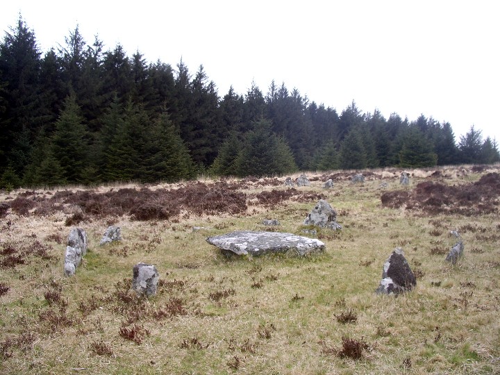
Cairn circle&cist 14A
Looking S
04/05/2009
Image credit: Billy Fear

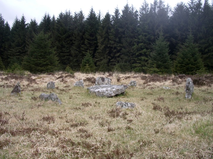
Row, cairn& cist 15A&14A
Looking WSW
04/05/2009
Image credit: Billy Fear

Hut circle 17A
04/05/2009
Image credit: Billy Fear

Cist 18A
04/05/2009
Image credit: Billy Fear

The lower end of the visible stones of the double row.
03/05/2009
Image credit: Billy Fear

The visible stones between the Longstone and the wall .
03/05/2009
Image credit: Billy Fear

I managed to witness a fantastic sunrise for the Summer Solstice in 2004. But the sun did not rise in line with the row. It came up quite a bit North of it. It didn’t take any of it’s magic away especially as there was ground frost around. Summer in Dartmoor!
It would be quite interesting to go for the Winter Solstice sunset and stand at the bottom end of the row.
My guess is that the longstone was the terminal stone of the row, with a cairn circle at it’s end. It reminds me of the Down Tor complex(though different orientation).
There are a couple of big slabs lying around which could have been part of the cairn circle.

Looking SSE with Judges Chair in the middle of wall.
03/05/2009
Image credit: Billy Fear