


The fort (centre) seen from the east, across Akeld Burn.

The end of the promontory from the southeast.

The steep-sided gully along the southwestern side of the fort.

Looking out from the fort across the ramparts.


The double rampart. G/F is socially distant on the hillside opposite.

Looking down on the fort from the west. The flat feature on the hill to the right is Monday Cleugh.


The impressive southern rampart stretches away.

Humbleton Hill fort is far right of shot.

The southeastern rampart with Hedgehope Hill and the Cheviot on the skyline.

The summit cairn, looking towards the distant North Sea coast.

What appears to be a bank and internal ditch around the base of the summit cairn.

Looking across the Glen Valley towards the Scottish borders.

The northeastern rampart, looking over the Glen Valley.

The northern rampart, with the summit cairn far right.

Looking east over the rampart towards the sunlit Hethpool valley and the two Hetha hillforts.

The prominent hill seen from St Cuthbert’s Way to the ENE.

Looking towards Hethpoolbell (centre) and Yeavering Bell (right).

The northeastern rampart, some stonework appearing through the turf.


Northern rampart, with the skyline hills of Yeavering Bell, Easter Tor and Wester Tor. The Hethpool valley with its stone circles is hidden by the intervening ridge.
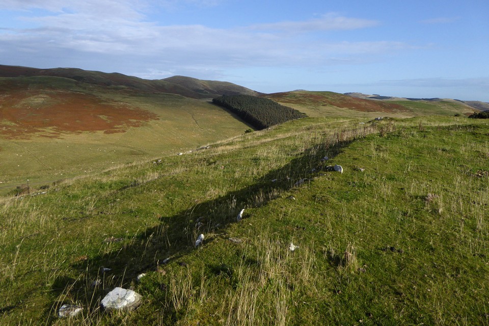

Entrance gap on the west side, looking down on Elsdon Burn.

There are some low remains of hut circles inside the fort.


Looking down on the circles from the southwest, they are bracketed by the two telegraph poles.


Looking northeast from the southern circle towards Hethpoolbell, with Yeavering Bell far right.

Fallen stone in the northeastern arc of the southern circle.

The southern circle from the north. The sheep are doing quite a good job of highlighting the arc.

Big upright in the northern circle, with the summit of Yeavering Bell visible over the top of the stone.

Big upright in the northern circle, looking towards Great Hetha.
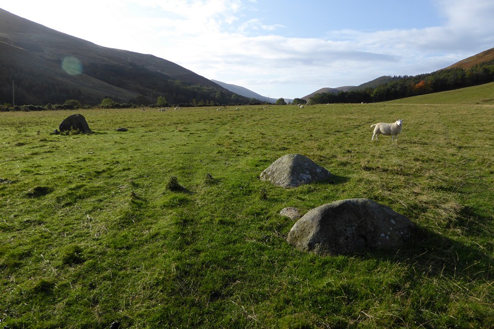
Southwestern arc of the northern circle.


Looking down the upper Rhiangoll valley from Pen y Manllwyn.

Fan Gyhirych (centre) from Fan Nedd. The escarpment of Y Mynydd Ddu stretches away to the right.

Landscape context from Fan Gyhirych to the west. The cairn is at the lefthand end of the ridge of Fan Nedd.

In two days’ time it will be 10 years since my first visit to this wonderful stone. I think that may be Cerrig’s Datum 1 stone in the grass over on the left.

‘Cist’ on display in Chillingham Castle, apparently found somewhere on Hepburn Moor. It’s a strange thing, not being the usual separate slabs put together to form a box, but rather a single stone scooped out to make a grave. I’ve no idea if it’s authentic, the castle is full of weird curios.

Fine selection of flint arrowheads from the Berthele Collection, displayed in a murky and underlit cabinet at Chillingham Castle, apologies for the poor image quality. Fritz Berthele (after whom this site is named) was a former German POW who spent decades collecting flint tools from the area around Chillingham.
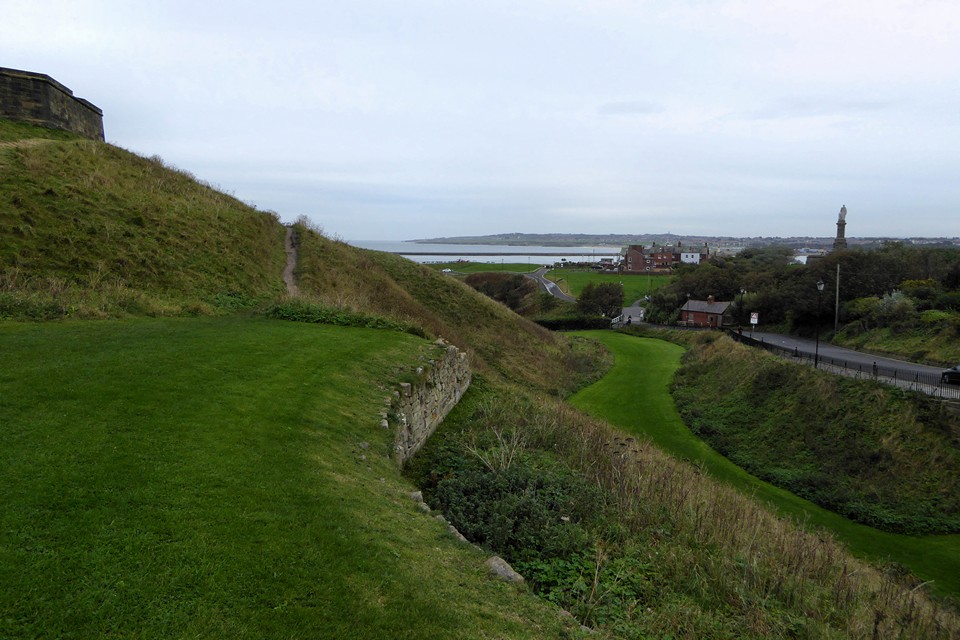
Towards South Shields across the river Tyne.

Steep cliffs above Short Sands.


