


Multiple circular crop/parch-marks noted in a field across Coldwell Bottom to the south of the long barrow.

Looking down on Coldwell Bottom to the left.
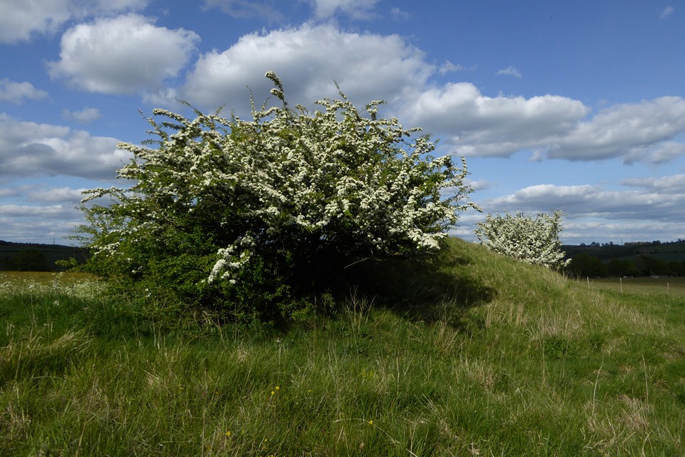
It’s safe to cast a clout, the May is out.

Looking from the site of the lost barrow towards the prominent St Paul’s Epistle round barrow, topped with trees on the hilltop.

Looking south along the field where the barrow was. It sadly hasn’t reappeared in the 10 years since I last came.

The prominent hilltop location seen from the south.
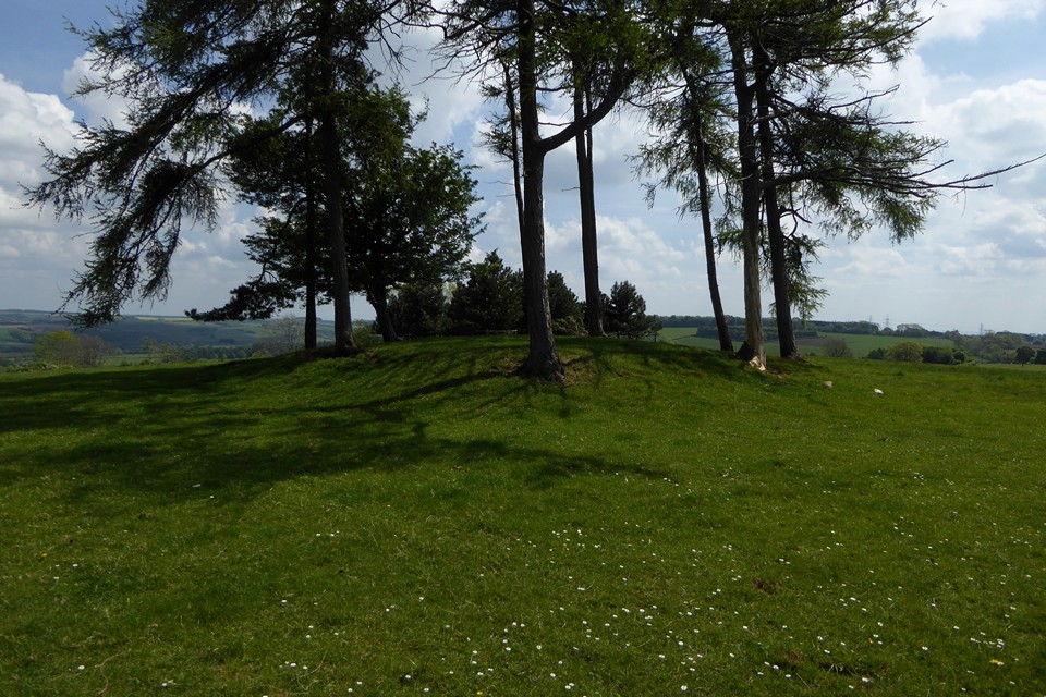
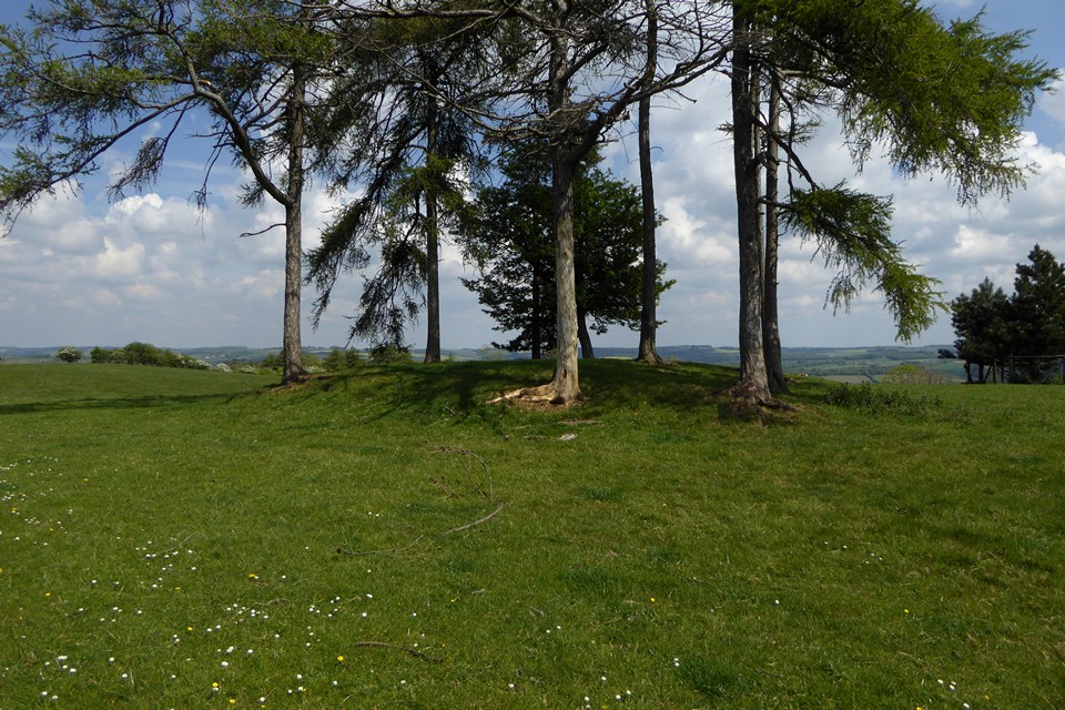


Part of a linear group of circular cropmarks we saw in field to the SE of the longbarrow, at approx. SO997184. They are between the long barrow and the prominent St Paul’s Epistle round barrow.

Looking towards the longbarrow from the east, in the approximate location of the “mound” shown on the OS map, which is speculatively considered to have been a round barrow. There’s nothing obvious here now.

The western end, surrounded by a splendid crop of dandelions.
From the Gloucestershire HER:
1999 – Site visited by A Douthwaite of English Heritage on 04/02/1999 as a result of MPP. The barrow was first reported in the late 1970s, by Saville and Drinkwater during fieldwalking, as a small mound about 8m in diameter and 0.3m high with a small central excavation crater.
On visiting the site it became clear nothing of the mound survived. The area in which it was reported to lie is currently under pasture, but was ploughed until c.1990 and it is quite possible that the barrow was destroyed during this period.


Freshly ploughed around the southern rampart.


May Day round barrow, resplendent in cowslip finery.

Ephemeral messages of hope and good wishes made from the quarried rock that once formed the fort’s western flank.

Churchdown Hill (centre), with the unmistakeable tree-topped May Hill behind. The Black Mountains form the skyline right of centre, with the Forest of Dean over on the left. From Leckhampton Hill.

From the south, with the Three Sisters trees in front of the rampart.

Looking across Cheltenham towards the Cotswold edge, Robinswood Hill and Churchdown Hill.

Looking along the curve of the inner rampart.

Looking along the inner rampart towards the summit of Cleeve Hill. Outer rampart on the left.

Nottingham Hill from Cleeve Hill. The hill rises immediately beyond is Bredon Hill (two hillforts).

The dyke on the lip of the escarpment. The Malvern Hills form the skyline backdrop.
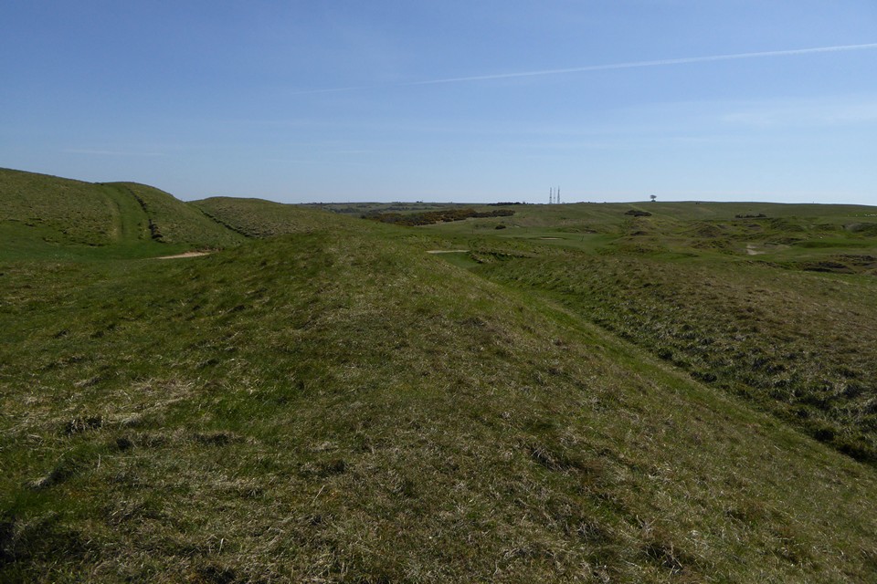
Looking towards Cleeve Hill summit. The hut circles are on the flat top of the common, to the left of the masts.

Looking east along the dyke towards Postlip Warren, with Winchcombe just visible above the left-hand slope of the hill.

Looking towards the dyke from the common to the south. The earthwork runs from the left-hand edge of the image (where the people are walking along it), sloping gently downwards across the hillside to the right-hand edge of the image (where the small clump of gorse grows on it). The northern summit of Cleeve Hill rises above, cut off from the rest of the common by the dyke.

Another of the hut circle-sized features on the common near the summit, picked out by helpfully growing thistles.

One of several hut circle sized features on the common, near the summit of Cleeve Hill.


Seen from the south near Cuckoopen Barn Farm, between Emma’s Grove round barrows and Coberley long barrow. The ramparts are visible above the yellow of the crop. Bredon Hill is on the left skyline.

Sadly the big barrow has become covered in a tangled nightmare of brambles.

Southern end of the ramparts.

Looking south towards the neighbouring promontory fort of Birdlip Camp (in the trees).

The ground falls away steeply to the southwest, before rising again to wooded Cooper’s Hill.

Deserted on Easter Monday. Looking across the Vale of Severn, with Robinswood and Churchdown Hills in the middle distance, the Malverns far right skyline.

Through Barrow Piece Plantation.

The northern bank on the right, looking along the ditch in the centre.


Abundant cowslips on part of the western bank.

The southern part of the interior, with western ramparts far right.


Looking across the overgrown top of the barrow towards the eerily quiet A436. Lockdown has compensations.