
The northernmost barrow, this is the one that appears on the crest when seen from Wheal Butler menhir.
Image credit: A. Brookes (20.6.2021)

The northernmost barrow, this is the one that appears on the crest when seen from Wheal Butler menhir.

Looking towards Botrea barrows on Deveral Common. One of the disc barrows is silhouetted on the skyline, centre. The others are over the crest of the hill.
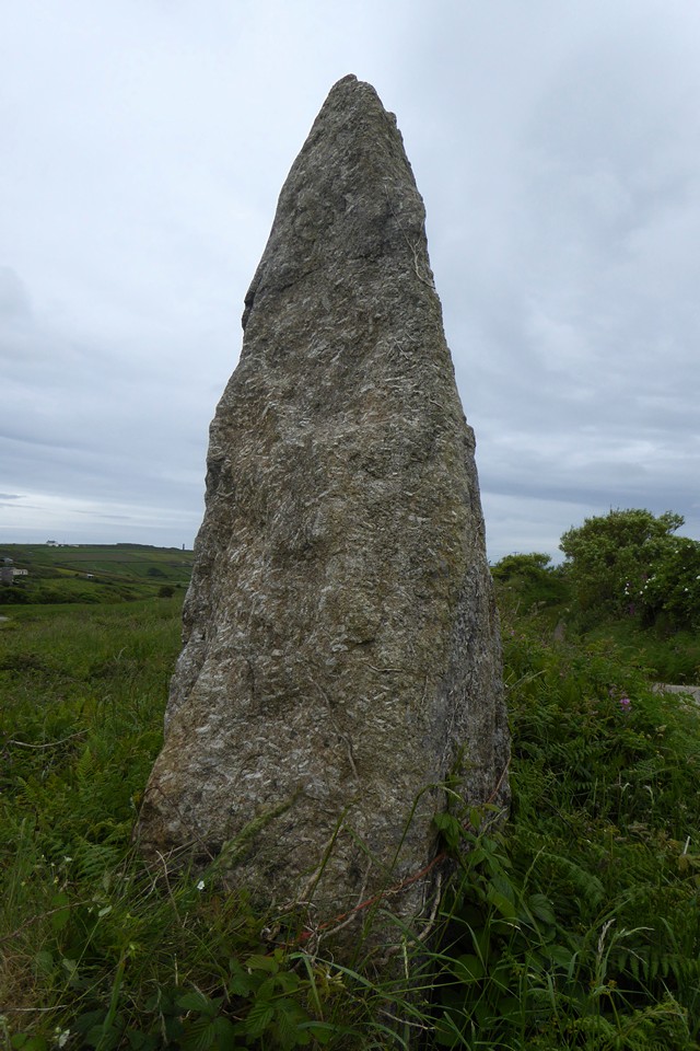


The linear group, looking NE.

The WNW barrow, right foreground, with the central and ESE barrows behind, centre and left.

Granite slab kerbing, WNW barrow.

Possible cist remains in the WNW barrow.

The fine WNW barrow, the best of the group.

The low central barrow, the ESE barrow behind.

Looking north across the top of the low central barrow, towards Boswens Common (Boswens menhir is over the other side of the ridge and not visible from here).


Granite slab on edge in the ESE barrow.

Looking NE across the top of the ESE barrow, towards the West Penwith Moors: Watch Croft (cairns and standing stone, far left), Carn Galva (tor enclosure), Boskednan/Ding Dong (stone circle and cairns), Mulfra and Almaveor/Tonkins Downs (cairns, chambered tombs) and Castle an Dinas (hillfort, far right).


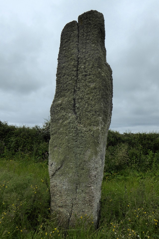

Looking towards Caer Bran hillfort (centre skyline).


So different to the majority of slender menhirs on the peninsula.


Field wall on the line of the original inner rampart. It’s impossible to know if these courses of stonework have survived from the original structure or just been rebuilt on the same line.

Stones Faugan, showing how they are perpendicular to each other rather than at right angles as you would expect if they were a pair of entrance portal stones.

Other than where they coincide with current field boundaries, there’s little to see of the two lines of ramparts. This is looking across the southern rampart towards the panorama of the West Penwith moors.
Details of the two cairns to the SW and south of the summit, excerpts from the Cornwall & Scilly HER:
SW cairn (SW 4191 3545)
WC Borlase recorded two cairns at Watch Croft. The south west barrow, 8.8m in diameter and enclosed by a ring of twenty stones set on edge, was excavated by him in 1863. Inside he found a cist containing an urn. On top of a cist, below its covering stone he found several Roman coins. The OS surveyed the cairn at 1:2500 in 1960. It is 1.7m high and 13.0m in diameter, and consists of a circular dry stone wall of large granite blocks with loose granite rubble piled within and around it. The top is slightly inclined towards the centre and a large outcropping rock is built into the south side of the wall. The cairn is very spread and mutilated by two excavations within the walling. The natural rock and shallow depression mentioned by Borlase is just inside the north circumference of the wall. The depression may be natural as two other large rocks near the cairn here have well formed rock basins. No trace remains of the cist which Borlase discovered.
Southern cairn (SW 4205 3524)
Pool in 1960 noted a barrow at Trevean. The OS who surveyed the remains at 1:2500 in 1961 record a cairn with a maximum height of 1.2m. The perimeter is retained by a drystone wall of large stones with a pronounced inward batter. The wall is mostly of large stones on edge but in places there are two courses visible. An excavation trench has been driven through the mound from east to west with a large circular hollow a little east of the centre. Spoil from this excavation is scattered on the outside of the cairn, particularly to the north east. Russell in 1971 lists the extant remains of a mound with retaining wall.
A linear group of three barrows on Bosvenning Common. Extracts from the Cornwall & Scilly HER, WNW-ESE:
WNW barrow (SW 4138 3130)
The site was partially excavated by WC Borlase in 1862. Extant remains comprise an overgrown earth and granite mound, overgrown with heather and bracken, standing 1.4m high, into which an excavation pit, 0.8m deep was dug, presumably by Borlase, in 1862. Part of a cist was found at the bottom of the pit. No further details. The monument is included in the Schedule. The barrow is visible on aerial photographs as a low earth and stone mound and was plotted as part of the NMP.
Central barrow (SW 4141 3129)
It is unclear whether the site was excavated by WC Borlase though others in this group clearly were. Surveyed by the OS in 1961 who remark on its slightly different constructional make up from neighbouring sites 16171.2 and 16171.1. A fact recorded by Russell who used it as a ring of stones around a natural boulder. Extant remains comprise an overgrown mound of stone and granite rubble 12m in diameter and 0.8m high. A pit dug south of the centre of the site, 0.6m deep, dismissed as a cist, indicates disturbance and two large stones visible on the mound’s surface on its south-west side may be part of a kerb. The monument is included in the Schedule. The barrow is visible on aerial photographs as a low earth and stone mound and was plotted as part of the NMP.
ESE barrow (SW 4143 3127)
The site was excavated by WC Borlase in 1862 which accounts for its mutilated condition. Extant remains comprise an overgrown earth and granite mound 1.4m high and 10m in diameter. A single granite stone set on edge in situ is probably the remains of a cist. The OS in 1961 noted more recent displacement of stone though the CAU survey adds no further details. The monument is included in the Schedule. The barrow is visible on aerial photographs as a low earth and stone mound and was plotted as part of the NMP.


The most angular side of the stone.

The stone in its setting, with the high dunes rising on the right.

Landscape context – Godrevy barrow is on top of the prominent headland, left of centre. From Gwithian beach.
I read about this stone in a little book of Penwith monuments I bought a few years ago. Visited 19 June 2021 at the end of a very pleasant beach and cliffs walk from Godrevy Sandshifter to Hayle Towans.
After leaving the coast, we head past Phillack Church and the Bucket of Blood to the point where the road bends sharply south-east. From here, a path heads north-east then north through a scrubby wood and out onto the dunes. The stone is reasonably easy to find, next to a fence separating the open dunes from a house and garden. It’s a nicely tapering 7 foot+ granite monolith, partially covered in hairy lichen.
Looking at the angular edges, my feeling is that it’s more likely to be medieval or post-medieval than prehistoric, although its tall height would be unusual for a boundary stone of that type. There are other boundary stones nearby, none of which come close to the height of this one. The Cornwall & Scilly HER says:
Boundary stone. A tall block of granite, about 7 foot above ground, about 1 foot in section, tapering to a point. Possibly a re-used menhir. The stone marks the bounds of Phillack Towans and Kernick Towans and is indicated on the 1842 Tithe Map. Its height, shape and tapering form suggest an early medieval or prehistoric origin, if not always in this location, certainly here for some time.
After a bit of wandering about in the towering dunes, the sky takes a turn for black and the sunshine of earlier is replaced by a swift rain front, so we beat a hasty retreat back to Hayle before the soaking arrives.
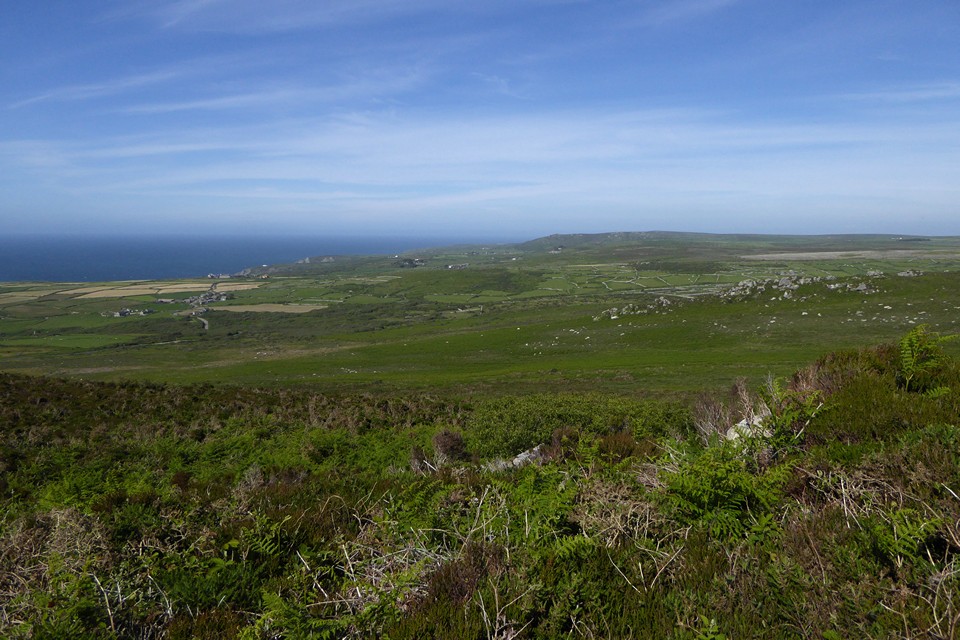
Extensive views north-east towards Zennor Hill, with many prehistoric field systems still in use.


A circular arrangement of stones, which may be hut circle footings.
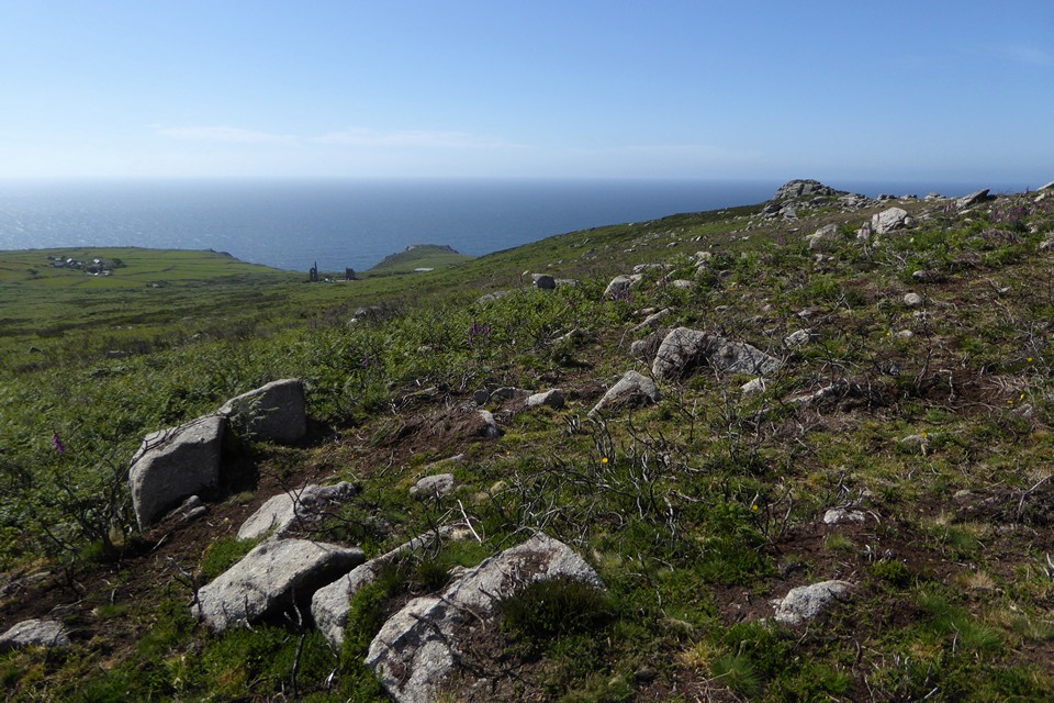

An area of burning on the southwestern side of the ridge has revealed lots of stone, some upright and some apparently in linear arrangements, although it’s very hard to see if anything here is the result of human activity.


More landscape context, from the north. Ding Dong mine on the skyline, the well is hidden from the south by the tall vegetation.

Granite slab or block in the pool. Note quartz vein (and tadpole).
