thesweetcheat

thesweetcheat

All posts expand_more 9,751-9,800 of 16,287 posts
Image of Glan-y-Mor (Enclosure) by thesweetcheat

Glan-y-Mor

Enclosure

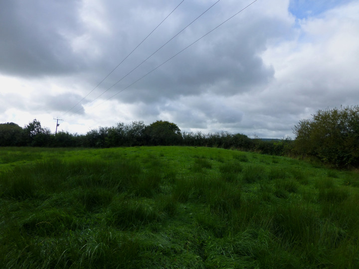
Looking down on the earthwork of the D-shaped enclosure from the terracing to the northwest (that I assume to be a relatively modern feature?).

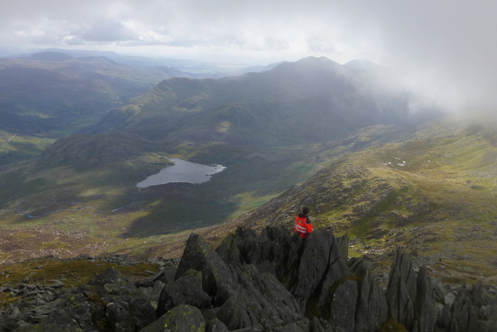
The Taf estuary lies below, the distant hills on the left skyline are Llanmadoc Hill and Rhossili Down on the Gower peninsular.

Image credit: A. Brookes (19.9.2013)
Image of Moel Eilio (Cairn(s)) by thesweetcheat

Moel Eilio

Cairn(s)

Moel Eilio (far left) above Llyn Peris and Llyn Padarn. There are various prehistoric settlement sites in the valley. Ynys Mon can be seen in the distance over the Menai Strait. The viewpoint is Glyder Fawr.

Image credit: A. Brookes (14.9.2013)
Image of Carnedd Dafydd (Cairn(s)) by thesweetcheat

Carnedd Dafydd

Cairn(s)

The Carneddau present their southern aspect to the Glyderau. Carnedd Dafydd is in shadow just left of centre, with Pen yr Ole Wen on its left and Carnedd Llewelyn behind to the right. Tristan’s Cairn is on the very far right skyline.

Image credit: A. Brookes (14.9.2013)
Image of Old Bath Road Barrow (Round Barrow) by thesweetcheat

Old Bath Road Barrow

Round Barrow(s)

Looking ESE from the top of the barrow, towards Knoll Down. The Old Bath Road trackway is the prominent earthwork leading from the barrow, another linear earthwork runs parallel with it further down the slope.

Image credit: A. Brookes (7.9.2013)