


The long barrow seen through the trees as the light begins to fail.

Autumn sunset filters through the trees of Barrow Piece Plantation, the woodland screen between the long barrow and the Cotswolds escarpment.


The northern side of the fort and the Cotswolds escarpment.

The southwestern flank, looking towards Cooper’s Edge floating above the temperature inversion.


Birdlip Camp seen from Crickley Hill, as the intervening valley fills with fog.

Zoom on the Iron Age rampart, from Barrow Wake to the south.

Crickley Hill rises above the autumn temperature inversion filling the vale of Severn.

Passing visitors give some scale to the north-eastern end of the rampart, the best preserved section.

The rampart is more discernible towards its north-eastern end.

The very reduced southern end of the rampart.

The southern corner of the fort. The single rampart runs at a right angle from where the footpath marker is, with the enclosed promontory straight ahead.

The sunken track leading to Birdlip Camp. This is probably the original approach.


Looking west along the top of the barrow.


Description from GGAT:
A low mound with traces of a kerb on the W side and a cist in the middle. The mound is well marked on the N side as an earthwork but less so on the other sides. It consists of a slightly raised rim and a raised centre with a more depressed area in between.
It is not possible to determine without excavation whether this is a ring cairn with internal structures, or a badly robbed ordinary cairn. The possible kerb consists of four stones (up to 0.9m across) of which the two middle ones are on the line of the outer side of the rim and therefore probably in situ; the two end stones look as though they have been displaced outwards, especially the N one. The cist is represented by a slit-like hole measuring 2.0m N-S x 0.3m, the E and W sides of which are lined by slabs; only the W side can be clearly seen, and here the lining is a single slab not quite as long as the hole.
In a clearing in forestry at the top of a hill, with a trig point on it and a radio mast immediately to its NE. A N-S path crosses the mound and has eroded slightly into it. Dimensions: Diameter 18.9m, height c0.8m max.
Lovely little Iron Age site in a forestry clearing surrounding by dense conifers giving a sense of seclusion.
The interior also includes two Bronze Age cairns.
From GGAT:
Gwersyll is a rampart, roughly semi-circular in plan, standing on a broad ridge in enclosed, but uncultivated pasture within a forestry plantation.
It appears to be an unfinished ringwork; no trace of a marking out ditch appears on the ground but on an air photo a very slight mark completes the circuit. The diameter is about 52m and the enclosed area, if completed, would have been c0.2ha. The defences measure 11m wide by nearly 2m high overall and comprise a bank, ditch and counterscarp bank. The intended entrance was probably at the east end of the rampart where a slight bank curves round the end of the ditch. There is a causeway across the ditch on the south-east, but no corresponding gap in the bank.
Two platform cairns stand within the enclosure. They stand about 0.3m high; the centres have been dug out though no cists are visible. The larger cairn measures 11mx10m, with a displaced coverstone near the centre. It consists of an irregular oval ring of stones, c 1.2m wide. In the middle is a large stone slab, 1x1m. Outside the stones is a bank 1m wide abnd 0.2m high, which is clearly visible on all but the W side.
There was (is?) a further cairn uphill from here, to the NNE. If it still exists it’s lost on the verge of a forestry track.
From GGAT:
Carn Buarth Maen (SO0269104854)
Possible cairn, appearing as a low indistinct mound entirely covered with thick tussocks of grass; stone can be felt underneath. Edges most clearly marked at S and E; fade out on N and W. On the verge at the S of a forest ride, at the top of an E-facing slope. Dimensions: ?5.6m diameter; c 0.2m high
(1976) Now in a forestry plantation; nothing could be found (RCAHMW)
(1999) Cairn as noted on OS 6 inch 1st edition 1885 map. No visible presence; possibly destroyed by the FE or perhaps it is located within dense tree cover.

Evidence of the technique used to break up the facade stone, using feather and tare or plug.


Looking across the least overgrown hut circle towards Sperris Quoit.

Looking across the southern cairn towards Mounts Bay.
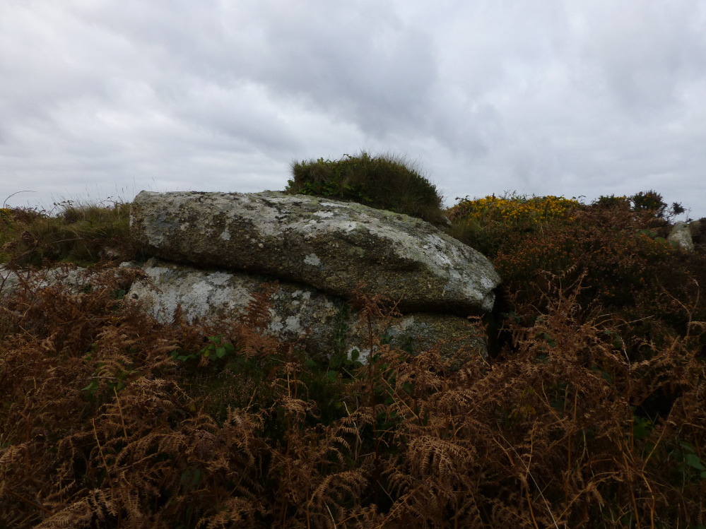
Rock outcrop built into the kerb of the southern cairn.

Side slab of the ruined cist at the centre of the southern cairn.

The excellent kerbed southern cairn. The hill on the centre skyline is Castle-an-Dinas crowned with an Iron Age hillfort.

The massive northern cairn, sadly disappearing under the thick vegetation.

The two cairns on the skyline, from Sperris Croft. The hilltop is very overgrown, any step off the “path” is a leg-shredding struggle against gorse and bramble.

Looking west from the quoit you can see Zennor Quoit, Mulfra Quoit, the ridge of Nine Maidens of Boskednan and Watch Croft.


The single upright stone remaining, with the outcrops of Sperris Croft behind.

Looking east towards Trendrine Hill, topped with a couple of fine Bronze Age cairns.

The site has been much-cleared since my last visit, revealing the full extent of the remaining stones.

The neighbouring outcrops provide this suitably inspirational proto-quoit.


St Buryan church tower behind.


Seven years since I last came here. Where does the time go?


The enigmatic arrangements of stones on the edge of the circle.
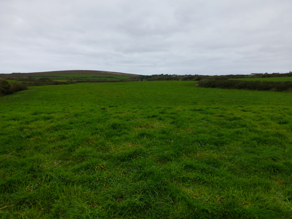
Looking from the mound back across the field to the chambered tomb.

For a second there I thought I was back down in the Cotswolds.