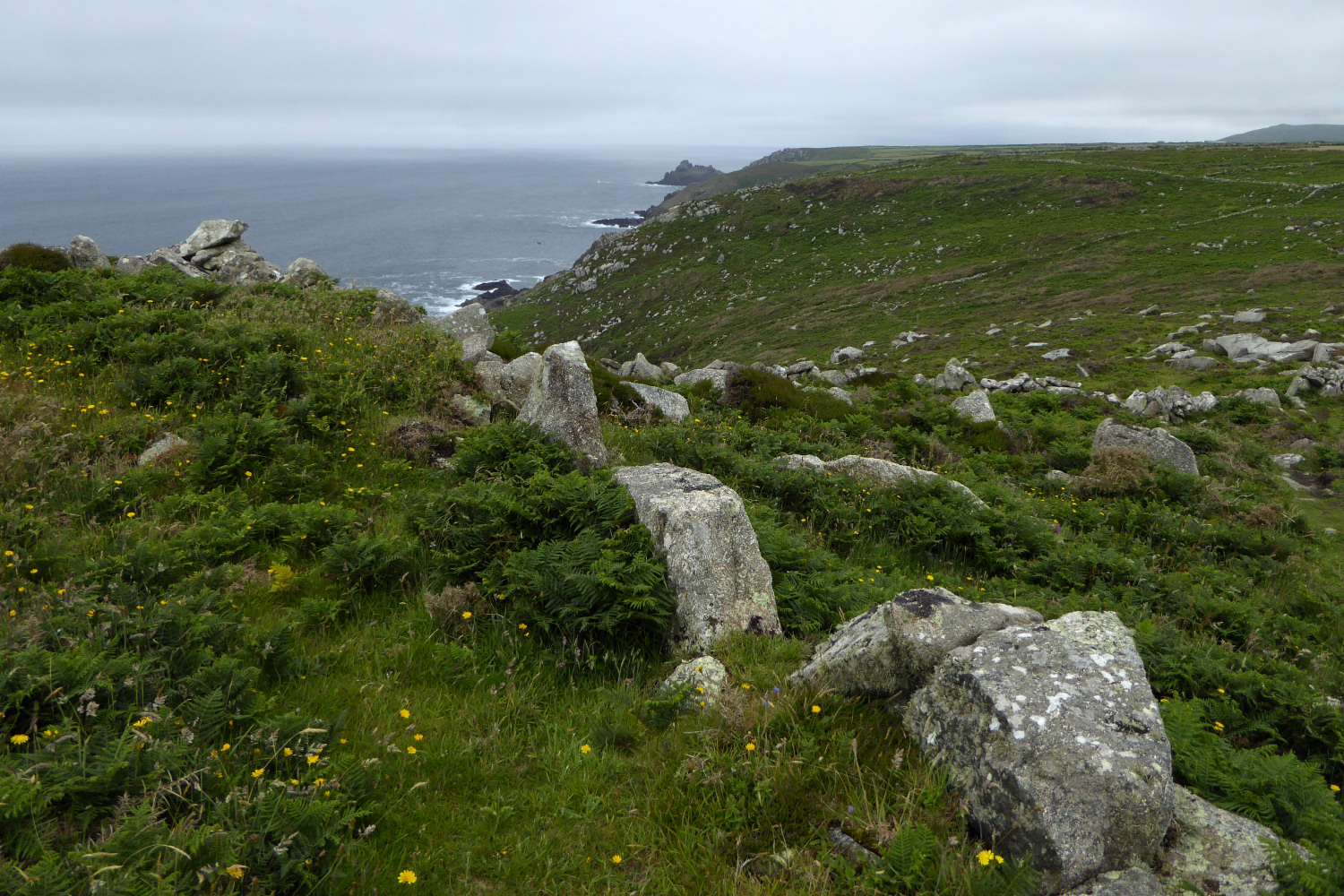
Big blocks of granite used in the rampart. The distant headland is Gurnard’s Head.
Image credit: A. Brookes (30.6.2016)

Big blocks of granite used in the rampart. The distant headland is Gurnard’s Head.

Ancient field system to the south of the rampart. Carn Galva is the prominent hill.

Exposed stonework on the eastern flank, possibly part of the reduced inner rampart.

The rocky spine of the headland, from the rocks of the highest part.

The rocky outcrops at the highest point of the fort’s interior.

Looking down the outer rampart towards Zennor Hill.


The fort from the northwest. The ground rises quite steeply up to the rampart from this direction.

Stonework showing through in the construction of the rampart.

The northern flank of the fort, looking up the Helford River.

Looking from the fort across the mouth of the Helford River towards Falmouth and St Mawes, highlighting the potential strategic importance of the site.
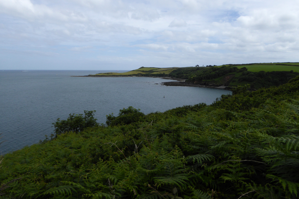
Looking southeast to Nare Point, itself a military observation post.

The entrance through the rampart.


Little Dennis from Lestowder Cliff, across Gillan Creek. The fort commands views of two river mouths, Gillan Creek to the south and the major Helford River to the north.


Looking northeast. The distant coastline is – I think – the Roseland Peninsula.

The rocks in their new setting.
According to the info plaque beneath the rocks, they originally stood on the coast at Manacle Point (about 1/4 mile to the east) and were re-sited to where they are now as the quarry expanded.

Looking down on Lowland Point from Dean Quarry to the north. The Barn possible round barrow is the lefthand one of the two prominent mounds (the other is clearance).

The Barn – the village of Coverack can be seen behind.

The Barn from the east.

The Barn, a large and overgrown mound just west of Lowland Point itself. It has been tentatively identified as a possible round barrow, but may be later clearance. If the former, it’s a very fine example.

Further field-system remains. A hut circle settlement lies a little further inland, in the heavily overgrown area extending from the left of shot.

The boundary lines of the prehistoric/RB field-systems run just above the foreshore.

Chynhalls Point stretches out to sea, left of Coverack. Seen across the bay from Pedn-myin, near the ancient settlements at Lowland Point.
The area to the west of Lowland Point is one of those marvellous palimpsest landscapes you get in some places.
Here, there are traces of Mesolithic flint working, Bronze Age hut circles and a possible round barrow known as The Barn (at SW 80251952), as well as a 2nd century AD Romano-British field system and salt works. Pottery of the Bronze Age (Trevisker Ware) and Romano-British periods has been found here.
A medieval field system known locally as The Stitch covers the northeastern part of the area.

Looking down on the mound of the very overgrown northern entrance grave.

The southern entrance grave.


Mulfra Hill B, being slowly reclaimed by bracken and gorse after the 2012 fire stripped it bare.


Four years since our last visit, mayfly blinks in the timespan of the quoit.

Slight traces of a vanished surrounding cairn can be seen in the cobble-sized stone blocks protruding through the turf.


Looking northeast across the overgrown barrow towards Watch Croft, the highest high on the Penwith moors, crowned with two cairns and a standing stone.

Fluffy clouds above Chun Downs.

The circular nature of the surrounding cairn footprint makes it clear that this was a very different type of monument to some of the other Penwith quoits.

The Quoit is a prominent landscape feature from the west. Seen here as a dot on the centre skyline across The Gump.


Looking northeast. The hills on the skyline are Watch Croft (cairns and standing stone) and Chun Castle (hillfort).


