
Reverse of the previous image, looking into the fort. The rock-cut nature of the entrance is obvious on the left of shot.
Image credit: A. Brookes (3.6.2017)

Reverse of the previous image, looking into the fort. The rock-cut nature of the entrance is obvious on the left of shot.

The northeastern entrance, cut through the rock of the hillside, looking outwards.

The northeastern rampart. Much of this is probably the natural top of the steeply sloping hillside rather than a manmade bank.


The earthwork at the northern end of the fort.

Looking east from the highest point of the interior. May Hill is the inevitable skyline feature with its unmistakeable circular copse on the summit.

Section of the southern rampart. The earthwork is most covered in small trees and vegetation so walking a circuit is rather hampered.

The sloping interior seen from the southeast.

More of the visible stone on the cairn.

There are some sizeable slabs and stones on the top of the cairn.

Looking northeast across the Cynon valley towards Twyn Bryn Bychan.


Looking down on Mountain Ash.


Looking east across the Cynon valley towards Twyn Bryn Bychan (skyline left of centre).
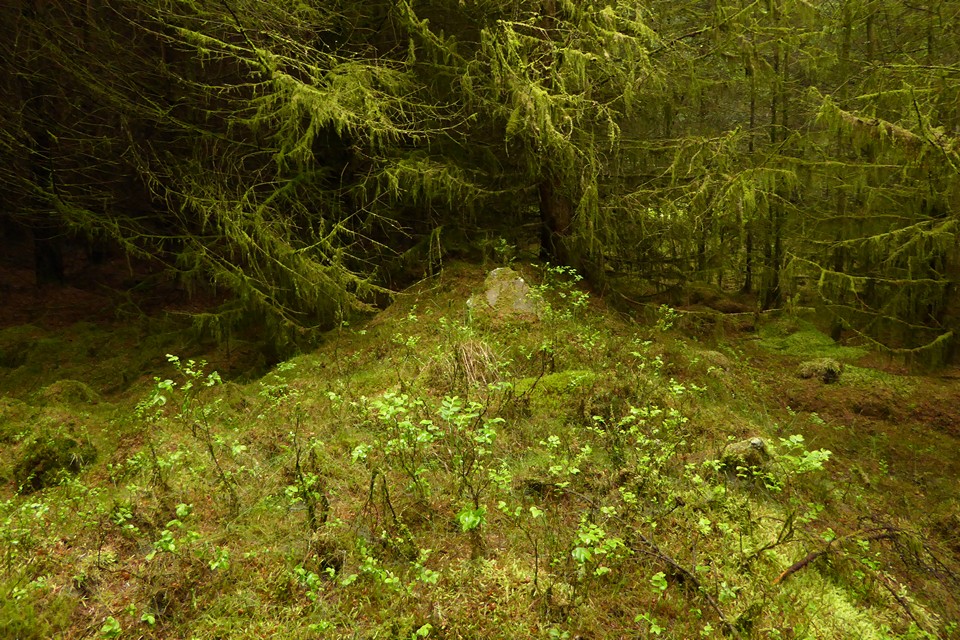
“Long cairn” B from its northern end.

Slab embedded in the top of “long cairn” B.

Side-on view of the mound of “long cairn” B.

Another view of the cairn at approx. ST 02928 98375.

Cairn at approx. ST 02928 98375 (Cairn (vii)?).

Substantial cairn at approx. ST 02910 98352 – probably Cairn (vi).

A couple of cairns in the clearing at approx. ST 029984.

Cairn at approx. ST 02889836, which would make it Cairn (iv) although I could see no sign of a cist.

Upright slab half-buried in the trees between the isolated western cairn and the main group.

This may be the possible standing stone dismissed as natural (see misc. post). It is towards the northwest of the groups.
Information from the GGAT HER:
Cairnfield originally identified as consisting of nine cairns, with another three identified after additional survey of the area in 1979. Three cairns of the original group were excavated following damage by forestry ploughing. The remaining six original cairns were reinstated without excavation; the three additional cairns identified in 1979 could not be positively identified on the ground due to plough damage.
Cairn B (ii) (relatively undamaged) was carefully constructed over three pits which contained burned material, including unidentifiable bone, in their fills. It was surrounded by a well-defined kerb 9.5x3.2m, orientated almost exactly N-S and surviving in places to a height of 0.6m (five courses), which may have been set against the partially completed core. This was almost certainly funerary in origin. Other pits were noted to the W of the cairn, but their relationship with it was unclear. Both of the two more badly damaged cairns, H (viii) and J (xi), may also originally also have had kerbs, and may also originally have been rectangular in shape, though there was no evidence that either had been funerary. Both turned out on excavation to be 2.2m across, showing that surface dimensions may be misleading.
Now in an area of impenetrable forest; it was not possible to find a way through to the NGR given.(i) 9m in diameter, 0.9m high. Disturbed. Partly overgrown.
(ii) Long mound. S end square, with two courses of a built kerb visible, 10m N-S by 4m; 0.5m high, with a rounded profile. Turf-covered and undisturbed.
(iii) 3m in diameter, 0.3m high
(iv) 3.2m in diameter, 0.5m high. Two upright slabs at the centre may be the remains of a cist, of 1.1m maximum length. A small slab and other stones are the probable remains of a kerb. Disturbed.
(v) 3.7m in diameter, 0.6m high. One possible kerb-stone. Disturbed.
(vi) 5.2m in diameter, 0.3m high.
(vii) 4m in diameter, 0.5m high.
(viii) 2.5m in diameter, 0.3m high.
(ix) 1.8m in diameter, 0.3m high. (Source 01)NG references amended to: (i) ST02829838; (ii) ST02849840; (iii) ST02849838; (iv) ST02889835; (v) ST02909836; (vi) 02919834; (vii) ST02939837; (viii) ST029119838; (ix) ST02909837; (ix) ST02939839 diameter 4.5m, hight 0.4m; (xi) ST02859833 diameter 4.0m, height 0.4m; (xii) ST02889833 diameter 4.0m, height 0.6m.
A possible standing stone noted by OS fieldworkers at ST02879840 was considered to be a natural feature.

The spring/well is to the left of the bridge.


The spring emerges from a cleft in the rock face.
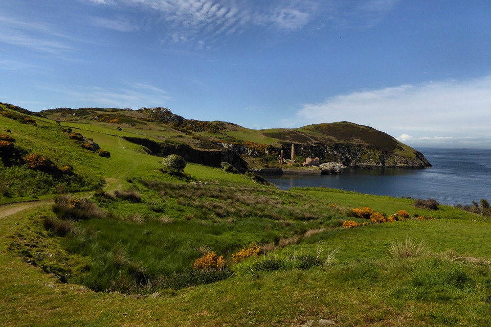
Landscape context from the east. The hut circle and field wall is located below the rocky outcrop of Graig Wen.

Looking back at the site, sitting under the rocky eminence of Graig Wen.

Looking out across Porth Wen from the very overgrown site.

The site seen from the east, across Porth Cynfor/Hell’s Mouth.

The eastern entrance, running between two rocky outcrops.
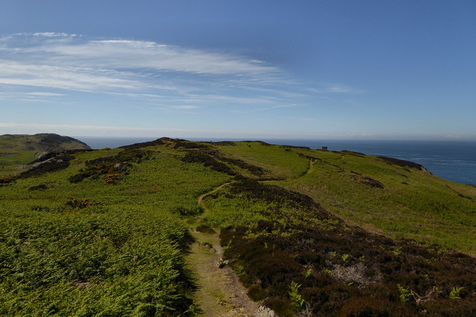
General view of the interior from the eastern end. By the ruined tower is the most northerly point of the Wales Coast Path.


The vertiginous drop down to the ruined brickworks of Porth Llanlleiana.

Looking down on the bank of the inner enclosure.

Looking southeast down into the boggy valley below the fort. The peaks of the Carneddau, Glyderau and Yr Wyddfa can be seen on the distant skyline.

Section of tumbled stone block wall along the crest of the site.

Looking towards the fort from Moel Llanlleiana to the west.


Looking west with Mynydd y Garn on the skyline.


Pen Dinas from Aberystwyth harbour, May Day. Just before the soaking.