
Lamberton Shiels from the northwest.
Image credit: A. Brookes (7.4.2019)

Lamberton Shiels from the northwest.

Looking across Sand Bay from the bowl barrow, towards Worlebury (in the trees on the nearer headland) and Brean Down.


The top of the much-reduced bowl barrow.

Approaching the barrows from the east. The disc barrow is theoretically in the foreground, but there’s nothing to be seen.

Bank on the perimeter of the hill next to the footpath. I couldn’t tell if this was manmade, enhanced or natural.

Looking up over the scarping on the east side of the fort.

Overgrown holloway running up into the fort from the northeast.


Steep slopes on the northwestern side of the hill.


Looking out from the northern end of the fort. The natural slope negates the need for earthworks. If the trees were removed, there would be far-reaching views over northeast Herefordshire, with a number of hillforts visible.

The northern end of the western defences.

The best preserved section of the western rampart.

Looking southwest across the silted ditch of the western defences.

The western rampart, just north of the entrance.

The wooded section of the southern ramparts, already a tangle of low brambles and ivy in late March.

Part of the southern rampart is not wooded and gives a view down to the Afon Wysg/River Usk and towards the St Julians area of Newport.

The eastern end of the fort has been encroached on by farm buildings (one of which is now a “farm church”).


Looking along the ditch between the middle and inner banks at the northwestern corner of the fort.

The interior of the enclosure occupying the western end of the fort. There are various low banks and features here, but it’s difficult to tell what they might be.

The multiple lines of ramparts at the western end of the fort.

Looking up through the multiple lines of ramparts flanking the western entrance.

Southwestern ramparts, inner rampart on the left.

The southwestern arc of the middle rampart.

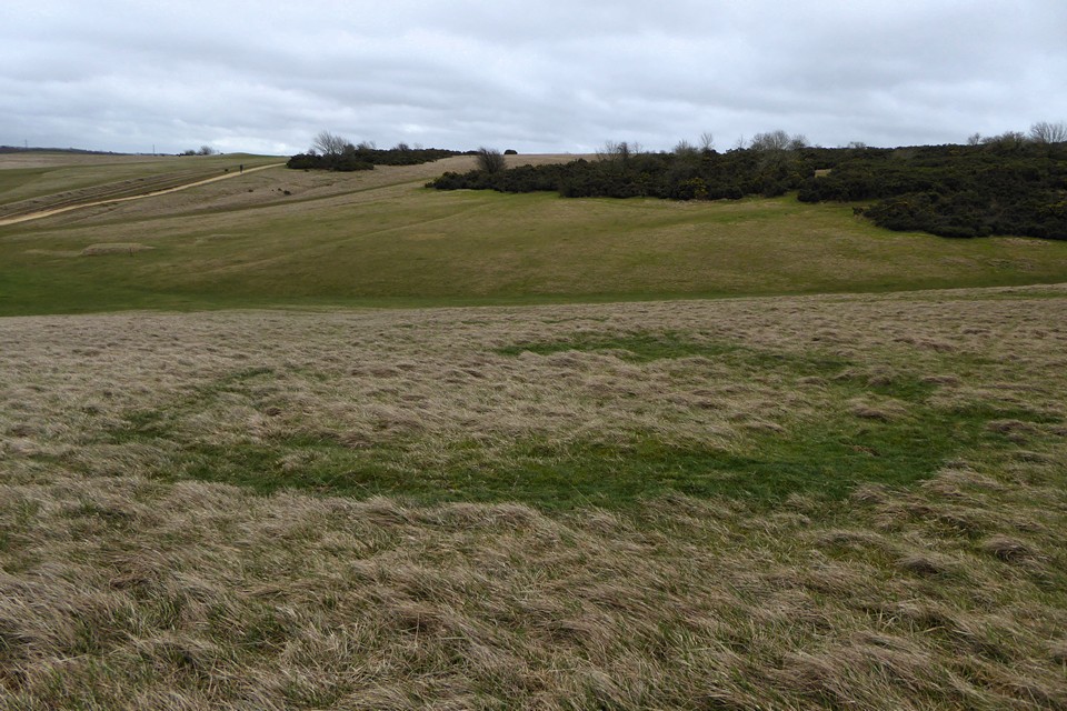
One of several circular features (good hut circle sized) just below the cross dyke, as noticed by Mrs thelonious.

Looking southwest along the Cotswold edge.

Looking southeast towards Cleeve Hill summit.


Looking down on the outer ditch at the northern end of the fort.

The northern ramparts are being encroached on by the forest.

The ramparts are bisected by a little burn across the mid-point of the arcs (immediately behind the two trees).

Looking from the southeastern section of ramparts towards the northwestern ramparts (brown with bracken).

It’s a fine promontory fort, this.


