


Looking north over Wellington from Hell Gate.


Haresfield Beacon round barrow, inside the fort.


The Ring Hill bank. Looking straight at me from the middle of the photo is a roe deer buck.

The inner side of the Ring Hill defences. The prominent hill on the skyline is May Hill, inevitably.


The excellent views to the Severn.


The top of the northeastern mound, the limestone composition showing through.


From the northeast. The Severn and Forest of Dean are the backdrop, top right.

The National Trust are nailing their colours to the “round barrows” mast on their board up at the car park.


Spring sunshine on Churchdown Hill (centre) from Leckhampton Hill.


Soil erosion on the southeastern arc of rampart.

The gorse-covered southern rampart. Then ground drops away to a stream below this side.

The view seawards, looking along the northern arc of rampart.

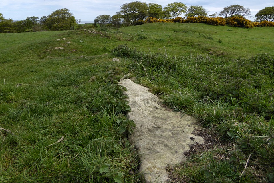
Biggish slab in the northeastern arc of rampart.
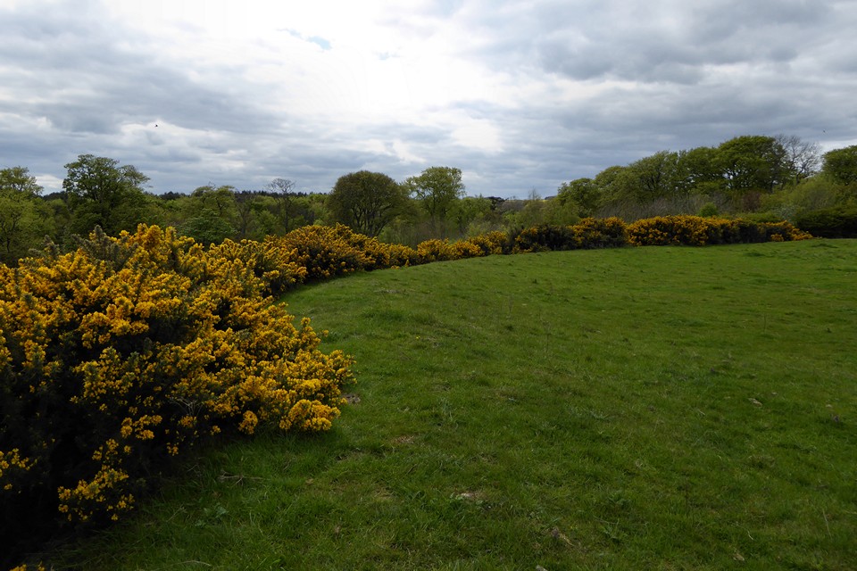

The medieval wall on top of the presumed line of the Iron Age rampart.

Looking SW towards Scrog Hill.

Looking down on the flat landscape to the northwest.

The steep cliffs above Rumble Churn.
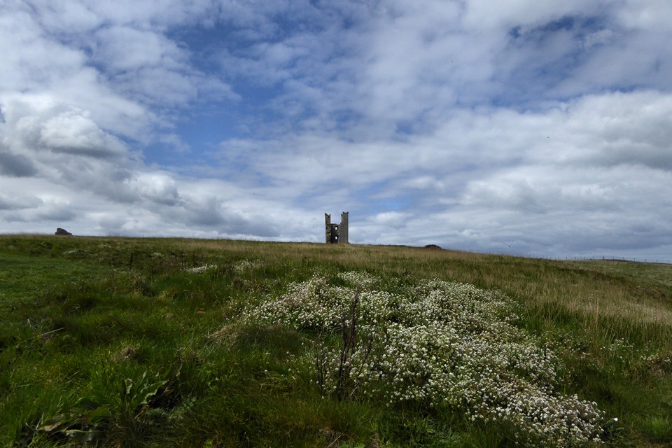
The open interior. There’s a sizeable space enclosed by the defences.

Defensive bank below the castle walls.

The prominent site, seen across Embleton Bay from the northwest.


The New Road Bottom barrows from the northeast.

Savernake 2, the northern of the New Road Bottom barrows.

Savernake 3, the southern of the two New Road Bottom barrows.

New Road Bottom barrows from the southeast, Savernake 3 in the foreground, Savernake 2 behind.

A bit young for TMA, but at over 1,000 years old the Big Belly Oak is a venerable tree, standing close to Savernake 4 round barrow.

Savernake 4. The barrow is oddly half grass-covered and half bracken. The bracken was thankfully dead when we visited in April.


Savernake 4, the barrow near Big Belly Oak.

Bache Hill II in the foreground, with Bache Hill I (the summit barrow) beyond.