


The NE cairn circle, looking down the slope to the multiple rings.

Yellowmead circles and Sheeps Tor.


Some of the cairns on Shipman Head Down can be seen on the skyline, right. Seen from Castle Down, Tresco.


The steep-sided southern approach to the fort.

The ground drops steeply on the southern side to the valley below. This modern walker’s cairn is on the high point of the rampart. Moel Famau and the Jubilee Tower can be seen on the skyline, centre.

Looking north-west. The neighbouring fort of Penycloddiau is straight ahead, Moel y Parc crowned with a barrow and cairn is to the right.


Impressive multiple ramparts, looking northwest over the Vale of Clwyd.

The fort from the lower slopes to the north.

Penycloddiau from Moel Arthur, the near-neighbour to the SE.

The western rampart, with the fertile Vale of Clwyd below.

The lower double rampart along the southern section of the east side.

Looking east towards that old snake they call the Dee.

Ramparts along the eastern side. Moel Famau can be seen on the skyline centre, topped by the remains of the Jubilee Tower. Moel Arthur is to the left.


Ramparts at the northeastern corner of the fort.


The restored cairn looking SW. In the foreground is the innermost northern rampart of the hillfort. On the skyline to the left, topped with the remains of the Jubilee Tower, rises Moel Famau, the highest point in the Clwydian Range of hills.

The prominent defended hilltop, left, from the SE.

From the southwest, near The Grove Hall (pictured).

Rainy zoom on the defences from Offa’s Dyke Path on Sodom.

Moel y Gaer from Sodom (to the north).

Moel Maenefa from Cefn Du. The barrows are prominent on the skyline.

The SW barrow from slopes above Offa’s Dyke Path.

Nice bit of lichen.

The north side of the stone. Unlike Hamish’s visit, the summer vegetation does block out most of the motorway.

The porous eastern side.

The south face of the stone.


Looking across to Mynydd Maendy and Maindy Camp.
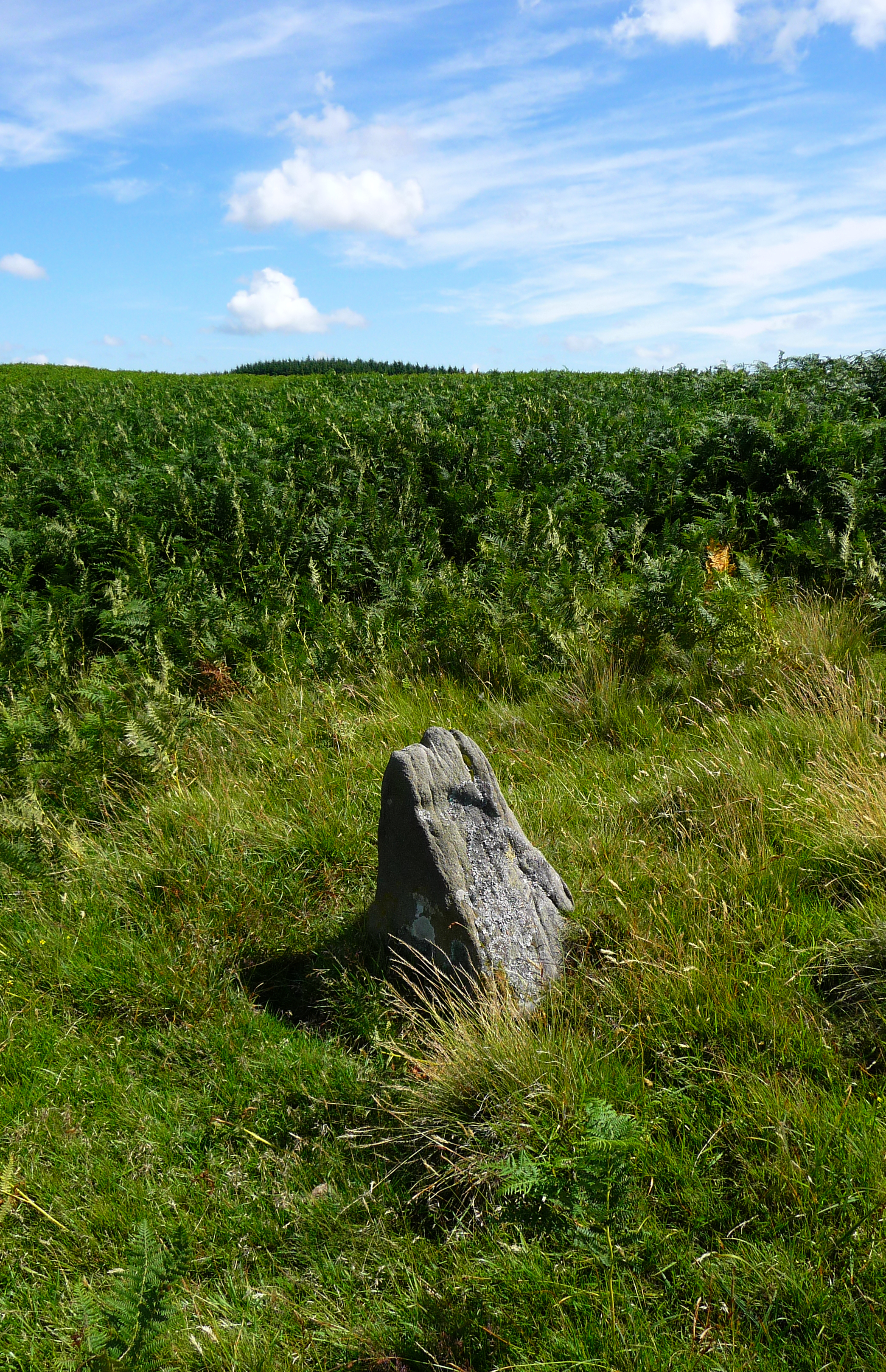
Small upright in the cairnfield, probably natural...

Another cairn, towards the east of the cairnfield.


Clearance cairn, looking west towards Mynydd Bwllfa.

Clearance cairn on the west of the cairnfield.

This looks like it may have been one of the cairns (at the SW of the cairnfield) and has been converted into a shelter.

The Camp is in the centre of image, seen from Mynydd Bwllfa to the SW.


Looking NNW, the site of Garn Fawr can be seen on the skyline right of centre (near the tree line).

Garn Fach, looking NE towards the nearby Clydach forest.

The low mound, looking SW towards the Ogmore Valley with Swansea Bay beyond.

The no-longer “fawr” cairn in its landscape, looking NNW.

More evidence of the original mound. This must have been a magnificent cairn once, at almost 19m across. What a mess it is now.

The cylinder of stones has been built on top of what looks like original construction.


The low remains of the cairn, with various piles of stone built from the material.